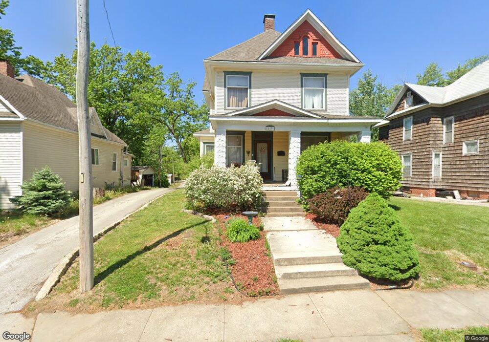
149 Kirby St Moberly, MO 65270
Estimated Value: $138,000 - $177,000
3
Beds
2
Baths
1,886
Sq Ft
$82/Sq Ft
Est. Value
About This Home
This home is located at 149 Kirby St, Moberly, MO 65270 and is currently estimated at $154,571, approximately $81 per square foot. 149 Kirby St is a home located in Randolph County with nearby schools including Moberly Senior High School, St. Pius X. Catholic School, and Maranatha Seventh-day Adventist School.
Ownership History
Date
Name
Owned For
Owner Type
Purchase Details
Closed on
Aug 28, 2012
Sold by
Seymour Brad J
Bought by
Ducote Chad P and Ducote Heather L
Current Estimated Value
Home Financials for this Owner
Home Financials are based on the most recent Mortgage that was taken out on this home.
Original Mortgage
$66,080
Outstanding Balance
$45,029
Interest Rate
3.25%
Mortgage Type
FHA
Estimated Equity
$109,542
Create a Home Valuation Report for This Property
The Home Valuation Report is an in-depth analysis detailing your home's value as well as a comparison with similar homes in the area
Home Values in the Area
Average Home Value in this Area
Purchase History
| Date | Buyer | Sale Price | Title Company |
|---|---|---|---|
| Ducote Chad P | $67,000 | -- |
Source: Public Records
Mortgage History
| Date | Status | Borrower | Loan Amount |
|---|---|---|---|
| Open | Ducote Chad P | $66,080 |
Source: Public Records
Tax History Compared to Growth
Tax History
| Year | Tax Paid | Tax Assessment Tax Assessment Total Assessment is a certain percentage of the fair market value that is determined by local assessors to be the total taxable value of land and additions on the property. | Land | Improvement |
|---|---|---|---|---|
| 2025 | $870 | $12,810 | $1,093 | $11,717 |
| 2024 | $870 | $11,950 | $950 | $11,000 |
| 2023 | $883 | $11,950 | $950 | $11,000 |
| 2022 | $841 | $11,680 | $950 | $10,730 |
| 2021 | $840 | $11,680 | $950 | $10,730 |
| 2020 | $840 | $11,680 | $950 | $10,730 |
| 2019 | $839 | $11,680 | $950 | $10,730 |
| 2018 | $836 | $11,680 | $950 | $10,730 |
| 2017 | $834 | $11,680 | $0 | $0 |
| 2016 | $809 | $11,380 | $0 | $0 |
| 2014 | -- | $10,560 | $0 | $0 |
| 2013 | -- | $10,560 | $0 | $0 |
| 2012 | -- | $8,200 | $0 | $0 |
Source: Public Records
Map
Nearby Homes
- 710 W Rollins St
- 632 W Logan St
- 808 W Reed St
- 816 W Reed St
- 216 S 5th St
- 407 Epperson St
- 309 S 4th St
- 419 S 4th St
- LOT 2 County Rd
- 1377 Conestoga Trail
- 800 Franklin St
- 817 Gilman St
- 620 Burkholder St
- 1126 Fisk Ave
- 4 Fair Oaks
- 101 N Ault St
- 809 Myra St
- 1029 Concannon St
- 641 Park Ave
- 1123 Concannon St