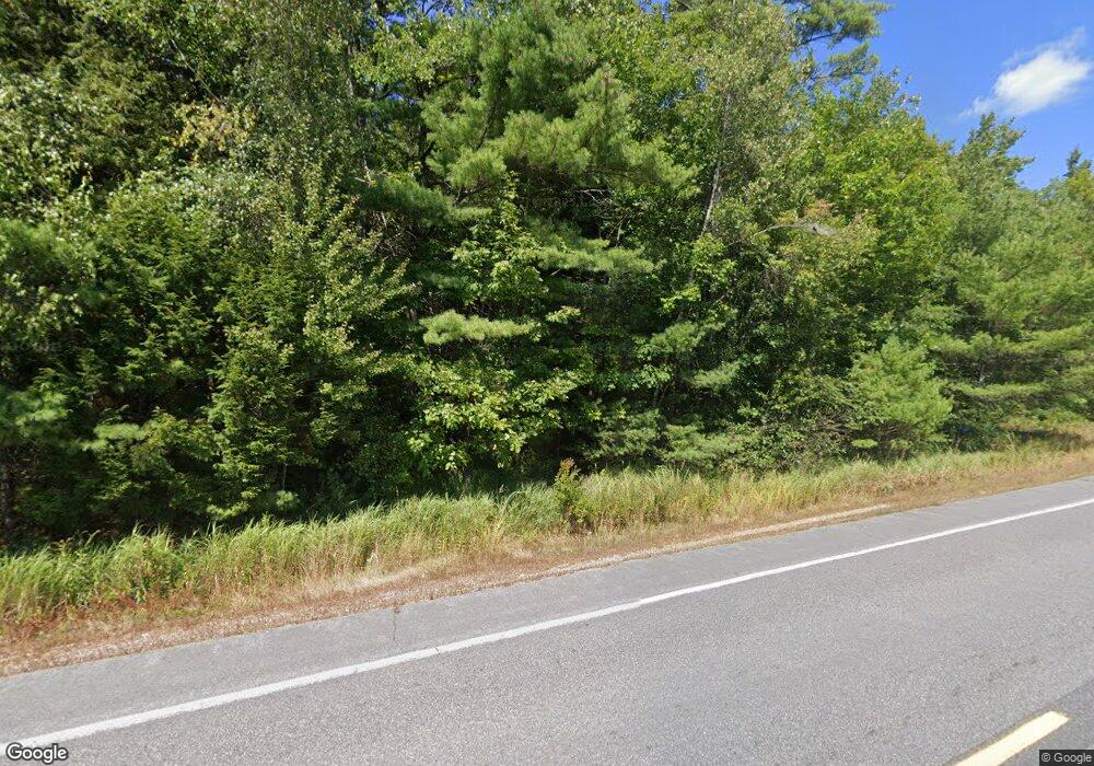
Estimated Value: $291,000 - $345,428
4
Beds
2
Baths
2,494
Sq Ft
$131/Sq Ft
Est. Value
About This Home
This home is located at 149 Leeds Rd, Wayne, ME 04284 and is currently estimated at $327,143, approximately $131 per square foot. 149 Leeds Rd is a home located in Kennebec County.
Ownership History
Date
Name
Owned For
Owner Type
Purchase Details
Closed on
Jun 25, 2018
Sold by
Dalheim Mary H
Bought by
Dalheim Dennis P
Current Estimated Value
Home Financials for this Owner
Home Financials are based on the most recent Mortgage that was taken out on this home.
Original Mortgage
$122,000
Interest Rate
4.5%
Mortgage Type
Unknown
Create a Home Valuation Report for This Property
The Home Valuation Report is an in-depth analysis detailing your home's value as well as a comparison with similar homes in the area
Home Values in the Area
Average Home Value in this Area
Purchase History
| Date | Buyer | Sale Price | Title Company |
|---|---|---|---|
| Dalheim Dennis P | -- | -- |
Source: Public Records
Mortgage History
| Date | Status | Borrower | Loan Amount |
|---|---|---|---|
| Closed | Dalheim Dennis P | $122,000 |
Source: Public Records
Tax History Compared to Growth
Tax History
| Year | Tax Paid | Tax Assessment Tax Assessment Total Assessment is a certain percentage of the fair market value that is determined by local assessors to be the total taxable value of land and additions on the property. | Land | Improvement |
|---|---|---|---|---|
| 2024 | $3,671 | $310,300 | $91,000 | $219,300 |
| 2023 | $2,814 | $136,600 | $34,200 | $102,400 |
| 2022 | $2,578 | $136,600 | $34,200 | $102,400 |
| 2021 | $2,453 | $136,600 | $34,200 | $102,400 |
| 2020 | $2,453 | $136,600 | $34,200 | $102,400 |
| 2019 | $2,453 | $136,600 | $34,200 | $102,400 |
| 2017 | $2,212 | $136,600 | $34,200 | $102,400 |
| 2016 | $3,878 | $136,600 | $34,200 | $102,400 |
| 2015 | $1,990 | $136,600 | $34,200 | $102,400 |
| 2014 | $1,963 | $136,600 | $34,200 | $102,400 |
| 2013 | $1,940 | $136,600 | $34,200 | $102,400 |
Source: Public Records
Map
Nearby Homes
- 156 Lakeshore Dr
- 286 Pond Rd
- M 6, L 32 Main St
- Lot 39 Main St
- 58-1 North Rd
- 29 Kents Hill Rd
- 57 Deer Hill Rd
- 591 North Rd
- 132 Hunton Loop
- 27 Mountain View Rd
- 309 Strickland Ferry Rd
- 232 Campground Rd
- 427 Mount Pisgah Rd
- Lot 26C Jennings Rd
- 75 Lovejoy Shores Dr
- 1835 Main St
- 675 River Rd
- 172 Baldwin Hill Rd
- 135 P Ridge Rd
- 574 Howes Corner Rd
- 195 Leeds Rd
- 203 Leeds Rd
- 0 Leeds Rd Unit 1594648
- 0 Leeds Rd Unit 1413095
- 45 Strickland Ferry Rd
- 78 Strickland Ferry Rd
- 71 Strickland Ferry Rd
- lot 1 Strickland Ferry Rd
- 83 Leeds Rd
- TBD Strickland Ferry Rd
- 3162 Strickland Ferry Rd
- TBD Leeds Rd
- 103 Strickland Ferry Rd
- 409 Lakeshore Dr
- 167 Leadbetter Rd
- 0 Strickland Ferry Rd Unit 570733
- 0 Strickland Ferry Rd Unit 522237
- 0 Strickland Ferry Rd Unit 404277
- 0 Strickland Ferry Rd Unit 345433
- 0 Strickland Ferry Rd Unit 301252
