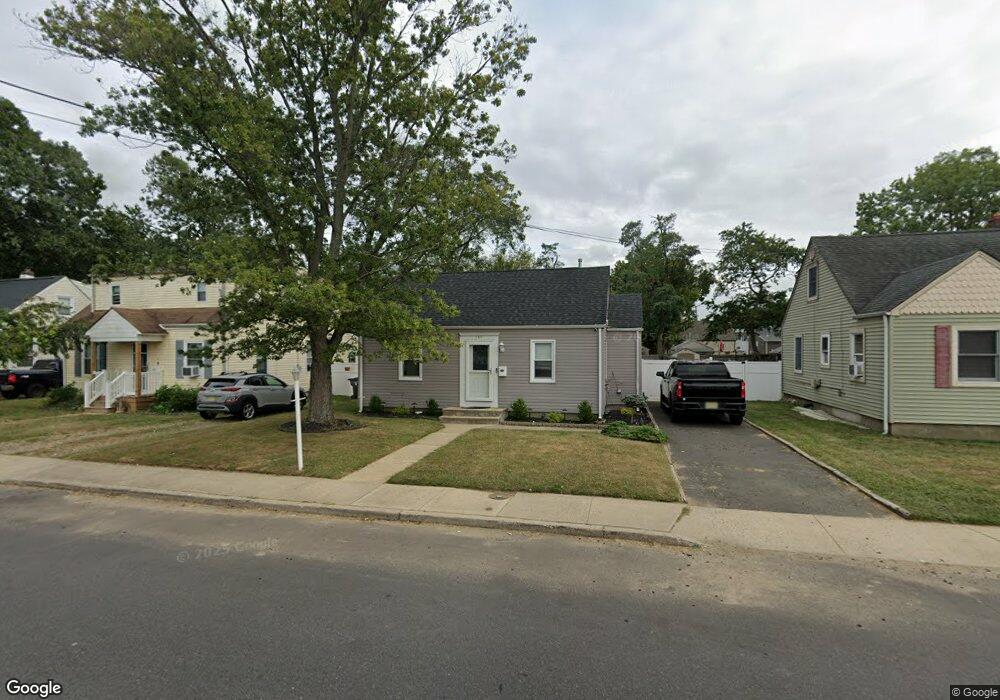
149 Main St Port Monmouth, NJ 07758
Estimated Value: $377,000 - $492,000
2
Beds
1
Bath
644
Sq Ft
$668/Sq Ft
Est. Value
About This Home
This home is located at 149 Main St, Port Monmouth, NJ 07758 and is currently estimated at $430,148, approximately $667 per square foot. 149 Main St is a home located in Monmouth County with nearby schools including Port Monmouth Elementary School, Thorne Middle School, and Middletown High School North.
Ownership History
Date
Name
Owned For
Owner Type
Purchase Details
Closed on
Sep 18, 2009
Sold by
Lanuto Danielle
Bought by
Mullins Kelly A
Current Estimated Value
Home Financials for this Owner
Home Financials are based on the most recent Mortgage that was taken out on this home.
Original Mortgage
$199,800
Outstanding Balance
$130,336
Interest Rate
5.14%
Mortgage Type
New Conventional
Estimated Equity
$299,812
Purchase Details
Closed on
Sep 2, 1998
Sold by
Gulizio Salvatore
Bought by
Lanuto Mary Jane
Home Financials for this Owner
Home Financials are based on the most recent Mortgage that was taken out on this home.
Original Mortgage
$75,000
Interest Rate
6.74%
Purchase Details
Closed on
Aug 21, 1995
Sold by
Alayi James
Bought by
Gulizio Salvatore
Home Financials for this Owner
Home Financials are based on the most recent Mortgage that was taken out on this home.
Original Mortgage
$86,000
Interest Rate
7.61%
Create a Home Valuation Report for This Property
The Home Valuation Report is an in-depth analysis detailing your home's value as well as a comparison with similar homes in the area
Home Values in the Area
Average Home Value in this Area
Purchase History
| Date | Buyer | Sale Price | Title Company |
|---|---|---|---|
| Mullins Kelly A | $222,000 | Avalon Title Agency Llc | |
| Lanuto Mary Jane | $108,000 | -- | |
| Gulizio Salvatore | $108,000 | -- |
Source: Public Records
Mortgage History
| Date | Status | Borrower | Loan Amount |
|---|---|---|---|
| Open | Mullins Kelly A | $199,800 | |
| Previous Owner | Lanuto Mary Jane | $75,000 | |
| Previous Owner | Gulizio Salvatore | $86,000 |
Source: Public Records
Tax History Compared to Growth
Tax History
| Year | Tax Paid | Tax Assessment Tax Assessment Total Assessment is a certain percentage of the fair market value that is determined by local assessors to be the total taxable value of land and additions on the property. | Land | Improvement |
|---|---|---|---|---|
| 2025 | $4,418 | $335,900 | $245,300 | $90,600 |
| 2024 | $3,957 | $268,600 | $179,700 | $88,900 |
| 2023 | $3,957 | $227,700 | $159,600 | $68,100 |
| 2022 | $3,576 | $204,000 | $139,100 | $64,900 |
| 2021 | $3,576 | $171,900 | $115,900 | $56,000 |
| 2020 | $2,959 | $138,400 | $83,700 | $54,700 |
| 2019 | $2,917 | $138,100 | $83,700 | $54,400 |
| 2018 | $2,782 | $128,400 | $76,500 | $51,900 |
| 2017 | $2,850 | $130,200 | $79,900 | $50,300 |
| 2016 | $2,792 | $131,000 | $79,900 | $51,100 |
| 2015 | $2,891 | $131,000 | $79,900 | $51,100 |
| 2014 | $3,476 | $153,600 | $106,900 | $46,700 |
Source: Public Records
Map
Nearby Homes
- 617 Carter Ave
- 19 Walada Ave
- 35 Willow St
- 78 Wilson Ave
- 2 Lydia Place
- 147 Church St
- 230 Main St
- 62 Brainard Ave
- 9 Brentwood Terrace
- 79 Compton St Unit A & B
- 92 Compton St
- 251 Main St Unit AH
- 0 S End Ave Unit 22420779
- 309 Church St
- 35 Montana Ave
- 0 Clinton St Unit 22238196
- 0 Bray Ave Unit 22420777
- 635 Hudson Ave
- 22 Mills Ave
- 29 Carter Ave