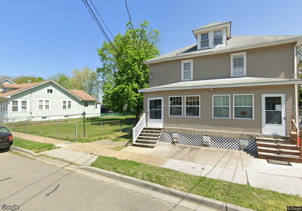
149 Mc Corkell Ave Paulsboro, NJ 08066
Estimated Value: $140,121 - $227,000
--
Bed
--
Bath
1,136
Sq Ft
$161/Sq Ft
Est. Value
About This Home
This home is located at 149 Mc Corkell Ave, Paulsboro, NJ 08066 and is currently estimated at $183,030, approximately $161 per square foot. 149 Mc Corkell Ave is a home located in Gloucester County with nearby schools including Billingsport Elementary School, Loudenslager Elementary School, and Paulsboro High School.
Ownership History
Date
Name
Owned For
Owner Type
Purchase Details
Closed on
Jun 26, 2024
Sold by
Schoch Ethel M
Bought by
Legates Brandy L and Pidliskey Kody C
Current Estimated Value
Home Financials for this Owner
Home Financials are based on the most recent Mortgage that was taken out on this home.
Original Mortgage
$203,907
Outstanding Balance
$201,490
Interest Rate
7.03%
Mortgage Type
FHA
Estimated Equity
-$18,460
Create a Home Valuation Report for This Property
The Home Valuation Report is an in-depth analysis detailing your home's value as well as a comparison with similar homes in the area
Home Values in the Area
Average Home Value in this Area
Purchase History
| Date | Buyer | Sale Price | Title Company |
|---|---|---|---|
| Legates Brandy L | $169,400 | Foundation Title | |
| Legates Brandy L | $169,400 | Foundation Title |
Source: Public Records
Mortgage History
| Date | Status | Borrower | Loan Amount |
|---|---|---|---|
| Open | Legates Brandy L | $203,907 | |
| Closed | Legates Brandy L | $203,907 |
Source: Public Records
Tax History Compared to Growth
Tax History
| Year | Tax Paid | Tax Assessment Tax Assessment Total Assessment is a certain percentage of the fair market value that is determined by local assessors to be the total taxable value of land and additions on the property. | Land | Improvement |
|---|---|---|---|---|
| 2025 | $2,952 | $67,100 | $14,300 | $52,800 |
| 2024 | $2,950 | $67,100 | $14,300 | $52,800 |
| 2023 | $2,950 | $67,100 | $14,300 | $52,800 |
| 2022 | $2,896 | $67,100 | $14,300 | $52,800 |
| 2021 | $2,486 | $64,600 | $14,300 | $50,300 |
| 2020 | $2,717 | $64,600 | $14,300 | $50,300 |
| 2019 | $2,632 | $64,600 | $14,300 | $50,300 |
| 2018 | $2,481 | $64,600 | $14,300 | $50,300 |
| 2017 | $2,471 | $64,600 | $14,300 | $50,300 |
| 2016 | $2,354 | $64,600 | $14,300 | $50,300 |
| 2015 | $2,340 | $64,600 | $14,300 | $50,300 |
| 2014 | $2,775 | $82,400 | $18,300 | $64,100 |
Source: Public Records
Map
Nearby Homes
- 140 142 W Jefferson St
- 1043 Penn Line Rd
- 46 Roosevelt St
- 53-55 Roosevelt St
- 129 W Washington St
- 28 W Jefferson St
- 122 W Washington St
- 21 W Adams St
- 227 W Buck St
- 53 Capitol St
- 11 W Washington St
- 344 W Washington St
- 335 W Buck St
- 269 W Broad St
- 27 29 E Adams St
- 28 E Adams St
- L18 20 W Broad St
- 106 E Adams St
- 1519 Pine St
- 591 N Delaware St Unit M10
- 147 Mc Corkell Ave
- 159 Mc Corkell Ave
- 143 145 McCorkell Ave
- 143 Mc Corkell Ave Unit 145
- 150 W Jefferson St
- 163 Mc Corkell Ave
- 148 W Jefferson St
- 163 McCorkell Ave
- 167 Mc Corkell Ave
- 140 W Jefferson St Unit 142
- 140-142 W Jefferson St
- 144 Mc Corkell Ave
- 152 Mc Corkell Ave
- 144 Mccorkle Ave
- 158 McCorkell Ave
- 169 Mc Corkell Ave
- 156 Mc Corkell Ave
- 131 Mc Corkell Ave
- 146 Mc Corkell Ave
- 158 Mc Corkell Ave