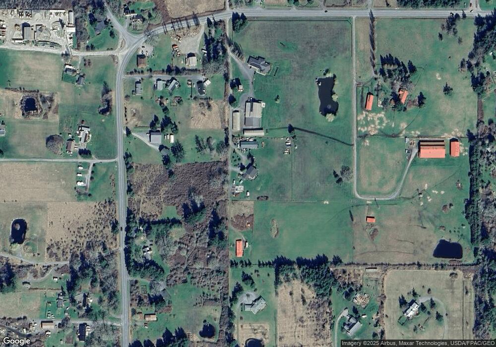
149 Michael Ln Friday Harbor, WA 98250
Estimated Value: $960,000 - $1,284,000
4
Beds
3
Baths
2,583
Sq Ft
$436/Sq Ft
Est. Value
About This Home
This home is located at 149 Michael Ln, Friday Harbor, WA 98250 and is currently estimated at $1,125,681, approximately $435 per square foot. 149 Michael Ln is a home located in San Juan County with nearby schools including Friday Harbor Elementary School, Friday Harbor Middle School, and Friday Harbor High School.
Ownership History
Date
Name
Owned For
Owner Type
Purchase Details
Closed on
Mar 10, 2005
Sold by
Strum Edward C and Strum Carol J
Bought by
Lord Jere W and Lord Joy D
Current Estimated Value
Home Financials for this Owner
Home Financials are based on the most recent Mortgage that was taken out on this home.
Original Mortgage
$465,000
Outstanding Balance
$236,367
Interest Rate
5.65%
Mortgage Type
Purchase Money Mortgage
Estimated Equity
$889,314
Create a Home Valuation Report for This Property
The Home Valuation Report is an in-depth analysis detailing your home's value as well as a comparison with similar homes in the area
Home Values in the Area
Average Home Value in this Area
Purchase History
| Date | Buyer | Sale Price | Title Company |
|---|---|---|---|
| Lord Jere W | $450,467 | Chicago Title Ins Co |
Source: Public Records
Mortgage History
| Date | Status | Borrower | Loan Amount |
|---|---|---|---|
| Open | Lord Jere W | $465,000 |
Source: Public Records
Tax History Compared to Growth
Tax History
| Year | Tax Paid | Tax Assessment Tax Assessment Total Assessment is a certain percentage of the fair market value that is determined by local assessors to be the total taxable value of land and additions on the property. | Land | Improvement |
|---|---|---|---|---|
| 2024 | $5,840 | $1,015,920 | $370,310 | $645,610 |
| 2023 | $5,840 | $1,015,920 | $370,310 | $645,610 |
| 2022 | $4,978 | $817,870 | $247,760 | $570,110 |
| 2021 | $4,770 | $669,450 | $154,130 | $515,320 |
| 2020 | $4,284 | $649,780 | $146,790 | $502,990 |
| 2019 | $4,253 | $572,050 | $146,790 | $425,260 |
| 2018 | $4,237 | $971,140 | $567,120 | $404,020 |
| 2017 | $3,368 | $518,710 | $111,570 | $407,140 |
| 2016 | $3,479 | $434,660 | $111,570 | $323,090 |
| 2015 | $3,479 | $456,020 | $139,460 | $316,560 |
| 2014 | $3,479 | $480,010 | $139,460 | $340,550 |
| 2012 | $3,479 | $533,160 | $154,960 | $378,200 |
Source: Public Records
Map
Nearby Homes
- 1881 Cattle Point Rd
- 111 Baker Ln
- 1785 Douglas Rd Unit 54
- 1785 Douglas Rd Unit 30
- 1785 Douglas Rd Unit 35
- 75 Griffin View Ln
- 480 Rose Ln
- 385 Marguerite Place
- 300 Hillcrest Place
- 85 Gerard Ln
- 1011 Harbor View Place
- 1738 Lampard Rd
- 310 Spring St Unit F
- 301 Salmonberry Ln
- 959 Guard St Unit A
- 0 Salmonberry Ln
- 470 Reed St Unit 2
- 232 A St Unit R4
- 480 Nelson St
- 0 Warbass Way Unit 18
- 95 Michael Ln
- 185 Michael Ln
- 1447 Cattle Point Rd
- 76 Rainbow Ln
- 37 Michael Ln
- 50 Rainbow Ln
- 1265 Cattle Point Rd
- 155 Wishing Well Ln
- 155 Wishingwell Ln
- 1557 Cattle Point Rd
- 20 Rainbow Ln
- 1597 Cattle Point Rd
- 1103 Cattle Point Rd
- 28 Glen Oak Ln
- 1220 Cattle Point Rd
- 233 Wishingwell Ln
- 1639 Cattle Point Rd
- 20 Madden Ln
- 0 Madden Ln
- 243 Elizabeth Ln
