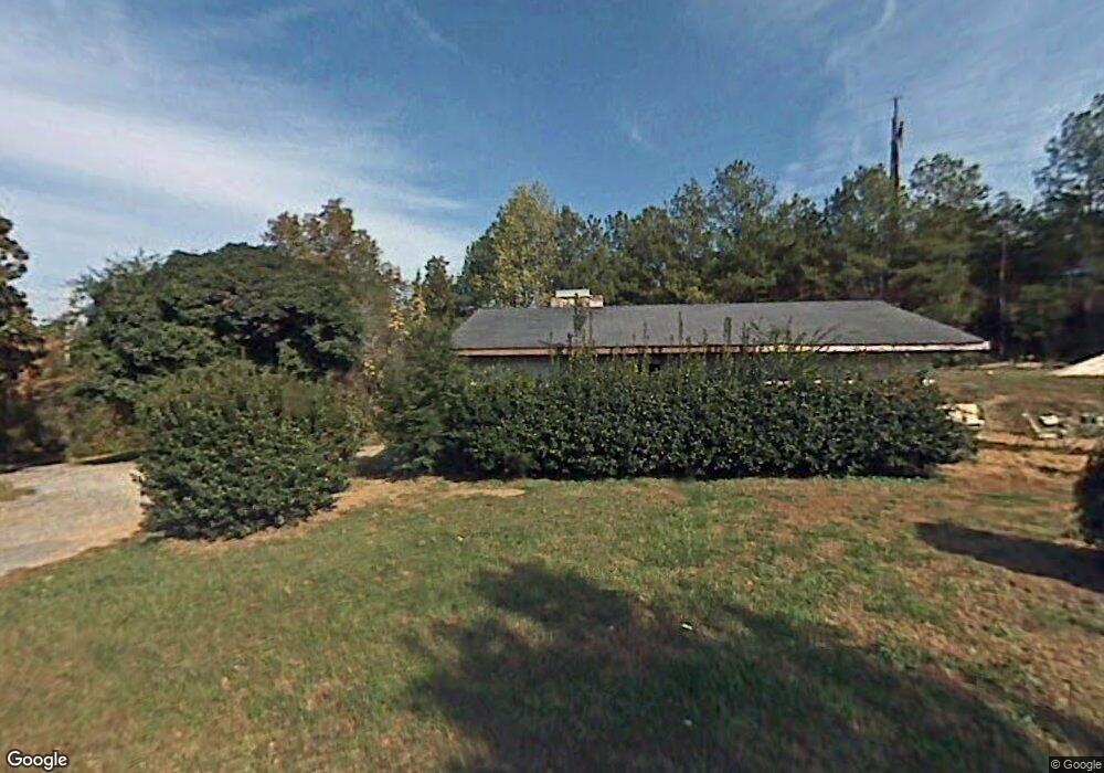
149 Orleans Way Dalton, GA 30721
Estimated Value: $254,000 - $592,920
--
Bed
--
Bath
1,550
Sq Ft
$284/Sq Ft
Est. Value
About This Home
This home is located at 149 Orleans Way, Dalton, GA 30721 and is currently estimated at $440,307, approximately $284 per square foot. 149 Orleans Way is a home with nearby schools including Cedar Ridge Elementary School, Eastbrook Middle School, and Southeast Whitfield County High School.
Ownership History
Date
Name
Owned For
Owner Type
Purchase Details
Closed on
Aug 1, 2017
Sold by
Orleans Way Properties Llc
Bought by
Bartczak Tony J and Bartczak Vickie L
Current Estimated Value
Home Financials for this Owner
Home Financials are based on the most recent Mortgage that was taken out on this home.
Original Mortgage
$520,800
Outstanding Balance
$197,774
Interest Rate
3.96%
Mortgage Type
New Conventional
Estimated Equity
$242,533
Purchase Details
Closed on
Jun 23, 2014
Sold by
Bell Wayne E
Bought by
Orleans Way Properties Llc
Purchase Details
Closed on
Oct 1, 1996
Bought by
Bell Wayne E and Bell Donna F
Create a Home Valuation Report for This Property
The Home Valuation Report is an in-depth analysis detailing your home's value as well as a comparison with similar homes in the area
Home Values in the Area
Average Home Value in this Area
Purchase History
| Date | Buyer | Sale Price | Title Company |
|---|---|---|---|
| Bartczak Tony J | $530,800 | -- | |
| Orleans Way Properties Llc | $125,000 | -- | |
| Bell Wayne E | $315,000 | -- |
Source: Public Records
Mortgage History
| Date | Status | Borrower | Loan Amount |
|---|---|---|---|
| Open | Bartczak Tony J | $520,800 |
Source: Public Records
Tax History Compared to Growth
Tax History
| Year | Tax Paid | Tax Assessment Tax Assessment Total Assessment is a certain percentage of the fair market value that is determined by local assessors to be the total taxable value of land and additions on the property. | Land | Improvement |
|---|---|---|---|---|
| 2024 | $2,426 | $318,170 | $19,494 | $298,676 |
| 2023 | $2,426 | $224,191 | $11,372 | $212,819 |
| 2022 | $5,444 | $193,137 | $7,581 | $185,556 |
| 2021 | $5,441 | $192,964 | $7,581 | $185,383 |
| 2020 | $5,614 | $192,964 | $7,581 | $185,383 |
| 2019 | $5,701 | $192,964 | $7,581 | $185,383 |
| 2018 | $5,787 | $192,964 | $7,581 | $185,383 |
| 2017 | $6,083 | $192,964 | $7,581 | $185,383 |
| 2016 | $3,850 | $126,977 | $7,581 | $119,396 |
| 2014 | $3,418 | $126,977 | $7,581 | $119,396 |
| 2013 | -- | $126,977 | $7,581 | $119,396 |
Source: Public Records
Map
Nearby Homes
- TBD Old Grade Rd
- 0 Old Grade Rd
- 307 Gay St
- 00 Wooten Dr
- 115 Wooten Dr
- 00 Tibbs Bridge Rd
- 0 Tibbs Bridge Rd SE
- 213 Nashville St
- 104 Elrod Dr
- 143 Staten St
- 118 Hill Rd
- 359 Pacer Ln Unit 4
- 1444 NE Thrasher Rd
- 136 Wiltshire Dr
- 01 Headrick Cir SE
- 00 Headrick Cir SE
- 2410 Martin Luther King Junior Blvd
- 1902 Bartenfield Dr
- 296 Wagner Dr
- 3657 Airport Rd
- 2802 Old Grade Rd
- 2802 Old Grade Rd Unit L 37 T 45
- 00 Old Grade Rd
- 1230 Old Grade Rd
- 434 Robinwood Cir
- 410 Robinwood Cir
- 2816 Old Grade Rd
- 440 Robinwood Cir
- 445 Robinwood Cir
- 3816A Tibbs Bridge Rd
- 448 Robinwood Cir
- 447 Robinwood Cir
- 400 Robinwood Cir
- 400 Robinwood Cir
- 2753 Old Grade Rd
- 429 Robinwood Cir
- 450 Robinwood Cir
- 415 Crook Rd
- 449 Robinwood Cir
- 143 E Talon Way