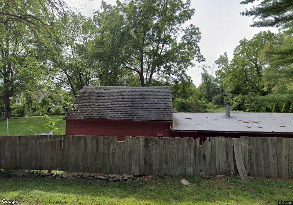
149 Perkins Rd Southbury, CT 06488
Estimated Value: $273,000 - $287,000
2
Beds
1
Bath
600
Sq Ft
$467/Sq Ft
Est. Value
About This Home
This home is located at 149 Perkins Rd, Southbury, CT 06488 and is currently estimated at $280,251, approximately $467 per square foot. 149 Perkins Rd is a home located in New Haven County with nearby schools including Gainfield Elementary School, Rochambeau Middle School, and Pomperaug Regional High School.
Ownership History
Date
Name
Owned For
Owner Type
Purchase Details
Closed on
Feb 23, 2017
Sold by
Main Tammy M
Bought by
Main Gary A
Current Estimated Value
Home Financials for this Owner
Home Financials are based on the most recent Mortgage that was taken out on this home.
Original Mortgage
$128,095
Outstanding Balance
$106,075
Interest Rate
4.12%
Mortgage Type
Future Advance Clause Open End Mortgage
Estimated Equity
$174,176
Purchase Details
Closed on
Jul 16, 1996
Sold by
Beardsley Janet and Beardsley William
Bought by
Main Gary and Munzner Tammy
Home Financials for this Owner
Home Financials are based on the most recent Mortgage that was taken out on this home.
Original Mortgage
$98,350
Interest Rate
7.98%
Mortgage Type
Purchase Money Mortgage
Create a Home Valuation Report for This Property
The Home Valuation Report is an in-depth analysis detailing your home's value as well as a comparison with similar homes in the area
Home Values in the Area
Average Home Value in this Area
Purchase History
| Date | Buyer | Sale Price | Title Company |
|---|---|---|---|
| Main Gary A | $45,000 | -- | |
| Main Gary | $80,000 | -- |
Source: Public Records
Mortgage History
| Date | Status | Borrower | Loan Amount |
|---|---|---|---|
| Open | Main Gary | $128,095 | |
| Previous Owner | Main Gary | $102,517 | |
| Previous Owner | Main Gary | $98,350 |
Source: Public Records
Tax History Compared to Growth
Tax History
| Year | Tax Paid | Tax Assessment Tax Assessment Total Assessment is a certain percentage of the fair market value that is determined by local assessors to be the total taxable value of land and additions on the property. | Land | Improvement |
|---|---|---|---|---|
| 2025 | $3,626 | $149,830 | $88,410 | $61,420 |
| 2024 | $3,536 | $149,830 | $88,410 | $61,420 |
| 2023 | $3,371 | $149,830 | $88,410 | $61,420 |
| 2022 | $3,715 | $129,710 | $88,280 | $41,430 |
| 2021 | $3,801 | $129,710 | $88,280 | $41,430 |
| 2020 | $3,801 | $129,710 | $88,280 | $41,430 |
| 2019 | $3,775 | $129,710 | $88,280 | $41,430 |
| 2018 | $3,762 | $129,710 | $88,280 | $41,430 |
| 2017 | $4,136 | $141,150 | $101,010 | $40,140 |
| 2016 | $4,065 | $141,150 | $101,010 | $40,140 |
| 2015 | $4,009 | $141,150 | $101,010 | $40,140 |
| 2014 | $3,896 | $141,150 | $101,010 | $40,140 |
Source: Public Records
Map
Nearby Homes
- 55 Mallory Rd
- 286 South St
- 62 Tepi Dr
- 367 Sachem Rd
- 96 Squire Rd
- 179 South St
- 218 Kuhne Rd
- 67 Transylvania Rd
- 24 Roxbury Rd
- 31 Hickory Ln
- 4 Judge Rd
- 8 Spruce Brook Rd
- 167 Willow Creek Estates Dr
- Ashford Plan at Willow Creek Estates
- 24 Hickory Ln
- 977 Heritage Village Unit B
- 667 Upper Grassy Hill Rd
- 999 Heritage Village Unit B
- 966 Heritage Village Unit A
- 902 Heritage Village Unit A
- 251 Perkins Rd
- 156 Perkins Rd
- 115 Perkins Rd
- 205 Perkins Rd
- 255 Perkins Rd
- 101 Perkins Rd
- 225 Perkins Rd
- 68 Perkins Rd
- 257 Perkins Rd
- 196 Brown Brook Rd
- 242 Perkins Rd
- 331 Perkins Rd
- 32 Perkins Rd
- 230 Perkins Rd
- 388 Brown Brook Rd
- 45 Perkins Rd
- 184 Brown Brook Rd
- 354 Brown Brook Rd
- 282 Perkins Rd
- 420 Brown Brook Rd