149 Pitman St Methuen, MA 01844
The East End NeighborhoodEstimated Value: $578,146 - $629,000
3
Beds
2
Baths
1,689
Sq Ft
$359/Sq Ft
Est. Value
About This Home
This home is located at 149 Pitman St, Methuen, MA 01844 and is currently estimated at $606,287, approximately $358 per square foot. 149 Pitman St is a home located in Essex County with nearby schools including Methuen High School, Community Day Charter Public School - Gateway, and Esperanza Academy School of Hope.
Ownership History
Date
Name
Owned For
Owner Type
Purchase Details
Closed on
May 17, 2022
Sold by
Bradley John P and Bradley Kathy A
Bought by
Ka and Jp Bradley
Current Estimated Value
Purchase Details
Closed on
Sep 1, 1986
Bought by
Bradley John
Create a Home Valuation Report for This Property
The Home Valuation Report is an in-depth analysis detailing your home's value as well as a comparison with similar homes in the area
Home Values in the Area
Average Home Value in this Area
Purchase History
| Date | Buyer | Sale Price | Title Company |
|---|---|---|---|
| Ka | -- | None Available | |
| Ka | -- | None Available | |
| Ka | -- | None Available | |
| Bradley John | $152,000 | -- |
Source: Public Records
Mortgage History
| Date | Status | Borrower | Loan Amount |
|---|---|---|---|
| Previous Owner | Bradley John | $240,000 | |
| Previous Owner | Bradley John | $249,287 | |
| Previous Owner | Bradley John | $44,000 |
Source: Public Records
Tax History
| Year | Tax Paid | Tax Assessment Tax Assessment Total Assessment is a certain percentage of the fair market value that is determined by local assessors to be the total taxable value of land and additions on the property. | Land | Improvement |
|---|---|---|---|---|
| 2025 | $5,275 | $498,600 | $207,800 | $290,800 |
| 2024 | $5,243 | $482,800 | $189,500 | $293,300 |
| 2023 | $9,889 | $431,300 | $168,500 | $262,800 |
| 2022 | $10,336 | $366,100 | $140,400 | $225,700 |
| 2021 | $9,818 | $341,300 | $133,400 | $207,900 |
| 2020 | $9,544 | $332,400 | $133,400 | $199,000 |
| 2019 | $9,314 | $301,200 | $119,300 | $181,900 |
| 2018 | $9,308 | $292,000 | $119,300 | $172,700 |
| 2017 | $8,475 | $276,700 | $119,300 | $157,400 |
| 2016 | $3,948 | $266,600 | $112,300 | $154,300 |
| 2015 | $3,803 | $260,500 | $112,300 | $148,200 |
Source: Public Records
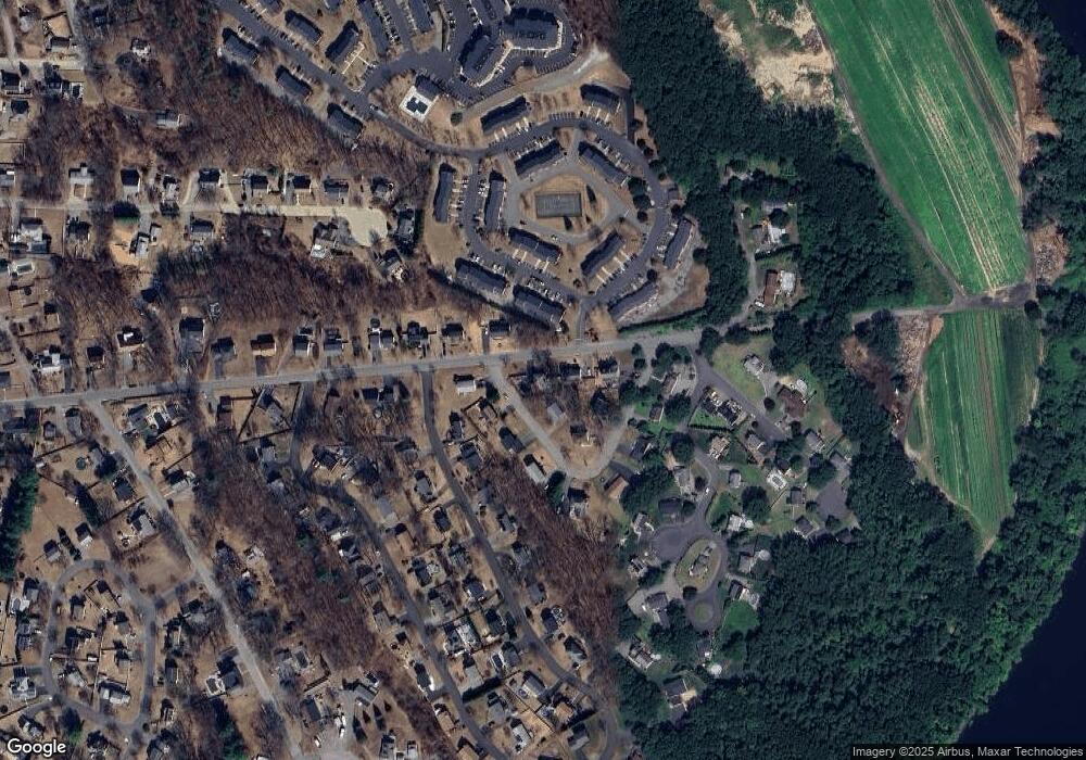
Map
Nearby Homes
- 16 Christopher Dr Unit 38
- 45 Christopher Dr Unit 106
- 17 Ferry Rd
- 6 Ferry Rd
- 29 Bradstreet Ave
- 24 Farrwood Place
- 10 Fenwick Cir
- 27 Russell Farm Dr
- 51 Ford St Unit A
- 5 Pilgrim Cir Unit C
- 183 Farrwood Dr
- 414 Farrwood Dr Unit 414
- 30 Anderson Dr
- 524 Merrimack St
- 260 Willow Ave
- 128 Pleasant Valley St
- 201 Aberdeen Rd
- 396 Oak St
- 41 Brookdale Ave
- 7 Germaine Ave
- 4 Briarcliff Dr
- 153 Pitman St
- 3 Briarcliff Dr
- 148 Pitman St
- 145 Pitman St
- 5 Briarcliff Dr
- 16 Briarcliff Dr
- 10 Briarcliff Dr
- 157 Pitman St
- 146 Pitman St
- 51 Clementi Ln
- 49 Clementi Ln
- 7 Briarcliff Dr
- 47 Clementi Ln
- 144 Pitman St
- 15 Briarcliff Dr
- 17 Briarcliff Dr
- 19 Briarcliff Dr
- 11 Briarcliff Dr
- 45 Clementi Ln
Your Personal Tour Guide
Ask me questions while you tour the home.