149 Powerline Rd Boyertown, PA 19512
Estimated Value: $341,000 - $623,000
3
Beds
3
Baths
1,680
Sq Ft
$277/Sq Ft
Est. Value
About This Home
This home is located at 149 Powerline Rd, Boyertown, PA 19512 and is currently estimated at $465,293, approximately $276 per square foot. 149 Powerline Rd is a home located in Berks County with nearby schools including Boyertown Area Senior High School.
Ownership History
Date
Name
Owned For
Owner Type
Purchase Details
Closed on
Jul 29, 2022
Sold by
Gamler Glenn M
Bought by
Gamler Glenn M and Gamler Heidi L
Current Estimated Value
Purchase Details
Closed on
Jul 19, 2019
Sold by
Gamler Glenn M and Gamler Heidi L
Bought by
Gamler Glenn M
Home Financials for this Owner
Home Financials are based on the most recent Mortgage that was taken out on this home.
Original Mortgage
$160,000
Interest Rate
3.82%
Mortgage Type
New Conventional
Create a Home Valuation Report for This Property
The Home Valuation Report is an in-depth analysis detailing your home's value as well as a comparison with similar homes in the area
Home Values in the Area
Average Home Value in this Area
Purchase History
| Date | Buyer | Sale Price | Title Company |
|---|---|---|---|
| Gamler Glenn M | -- | None Listed On Document | |
| Gamler Glenn M | -- | None Available |
Source: Public Records
Mortgage History
| Date | Status | Borrower | Loan Amount |
|---|---|---|---|
| Previous Owner | Gamler Glenn M | $160,000 |
Source: Public Records
Tax History Compared to Growth
Tax History
| Year | Tax Paid | Tax Assessment Tax Assessment Total Assessment is a certain percentage of the fair market value that is determined by local assessors to be the total taxable value of land and additions on the property. | Land | Improvement |
|---|---|---|---|---|
| 2025 | $1,701 | $188,700 | $82,800 | $105,900 |
| 2024 | $7,389 | $188,700 | $82,800 | $105,900 |
| 2023 | $7,090 | $188,700 | $82,800 | $105,900 |
| 2022 | $6,926 | $188,700 | $82,800 | $105,900 |
| 2021 | $6,766 | $188,700 | $82,800 | $105,900 |
| 2020 | $6,602 | $188,700 | $82,800 | $105,900 |
| 2019 | $6,421 | $188,700 | $82,800 | $105,900 |
| 2018 | $6,166 | $188,700 | $82,800 | $105,900 |
| 2017 | $5,971 | $188,700 | $82,800 | $105,900 |
| 2016 | $1,363 | $188,700 | $82,800 | $105,900 |
| 2015 | $1,363 | $188,700 | $82,800 | $105,900 |
| 2014 | $1,363 | $188,700 | $82,800 | $105,900 |
Source: Public Records
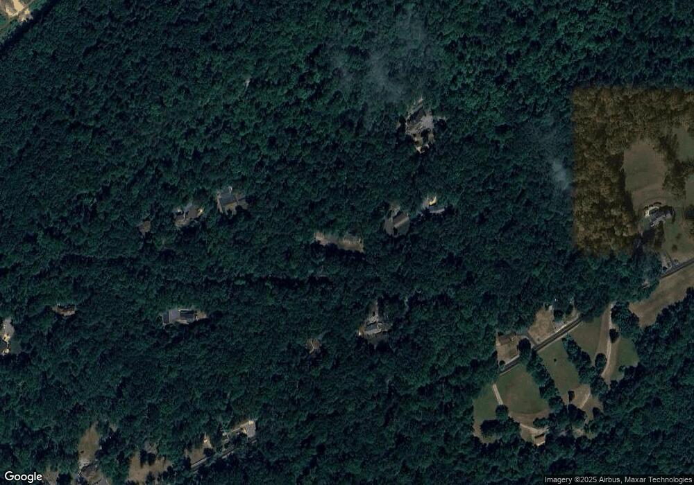
Map
Nearby Homes
- 84 Sunset Hill Rd
- 16 Kristine Ave
- 7816 Boyertown Pike
- 1034 Manatawny Rd
- 0 Rte 73 Unit PABK2041020
- 108 Highland Ct
- 2 Machamer Rd
- 24 Alans Ln
- 190 Red Oak Dr
- 1041 Reading Ave
- 280 Indian Ln
- 56 Amity Ave
- 35 Winding Creek Dr
- 1008 Reading Ave
- 24 4th St
- 483 Water St
- 0 Woodchoppertown
- 12 Lehland Dr
- 141 Greshville Rd
- 332 S Reading Ave
- 5 Gilbert Dr
- 10 Skyline Dr
- 15 Gilbert Dr
- 145 Powerline Rd
- 269 Laurel Rd
- 19 Gilbert Dr
- 133 Powerline Rd
- 307 Laurel Rd
- 126 Powerline Rd
- 257 Laurel Rd
- 121 Powerline Rd
- 317 Laurel Rd
- 349 Laurel Rd
- 316 Laurel Rd
- 339 Laurel Rd
- 229 Laurel Rd
- 98 Powerline Rd
- 197 A Laurel Rd
- 0 Laurel Rd Unit PABK2007160
- 255 Laurel Rd