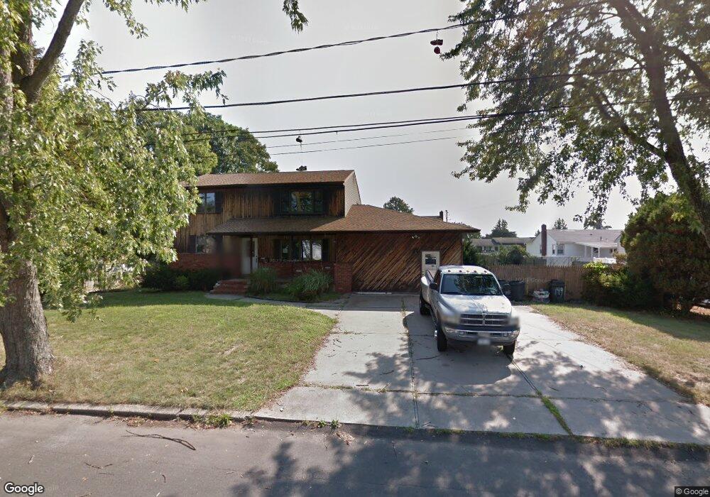
149 Queens Ave West Babylon, NY 11704
Estimated Value: $744,000 - $912,000
6
Beds
5
Baths
--
Sq Ft
--
Built
About This Home
This home is located at 149 Queens Ave, West Babylon, NY 11704 and is currently estimated at $837,953. 149 Queens Ave is a home located in Suffolk County with nearby schools including Robert Moses Middle School and North Babylon High School.
Ownership History
Date
Name
Owned For
Owner Type
Purchase Details
Closed on
May 21, 2015
Sold by
Wagner And Wagner Associates Ltd Defined
Bought by
Davis Jason B and Davis Rachael E
Current Estimated Value
Home Financials for this Owner
Home Financials are based on the most recent Mortgage that was taken out on this home.
Original Mortgage
$289,987
Outstanding Balance
$226,905
Interest Rate
4.12%
Mortgage Type
FHA
Estimated Equity
$611,048
Purchase Details
Closed on
May 30, 2014
Sold by
Hovanec James
Bought by
Wagner And Wagner Associates Ltd Defined
Purchase Details
Closed on
May 20, 2005
Create a Home Valuation Report for This Property
The Home Valuation Report is an in-depth analysis detailing your home's value as well as a comparison with similar homes in the area
Home Values in the Area
Average Home Value in this Area
Purchase History
| Date | Buyer | Sale Price | Title Company |
|---|---|---|---|
| Davis Jason B | $400,000 | None Available | |
| Wagner And Wagner Associates Ltd Defined | $235,000 | -- | |
| -- | $459,998 | -- |
Source: Public Records
Mortgage History
| Date | Status | Borrower | Loan Amount |
|---|---|---|---|
| Open | Davis Jason B | $289,987 |
Source: Public Records
Tax History
| Year | Tax Paid | Tax Assessment Tax Assessment Total Assessment is a certain percentage of the fair market value that is determined by local assessors to be the total taxable value of land and additions on the property. | Land | Improvement |
|---|---|---|---|---|
| 2024 | $16,172 | $4,650 | $350 | $4,300 |
| 2023 | $16,172 | $4,650 | $350 | $4,300 |
| 2022 | $14,363 | $4,650 | $350 | $4,300 |
| 2021 | $14,363 | $4,650 | $350 | $4,300 |
| 2020 | $14,612 | $4,650 | $350 | $4,300 |
| 2019 | $14,612 | $0 | $0 | $0 |
| 2018 | $14,362 | $4,650 | $350 | $4,300 |
| 2017 | $14,362 | $4,650 | $350 | $4,300 |
| 2016 | $14,286 | $4,650 | $350 | $4,300 |
| 2015 | -- | $4,260 | $350 | $3,910 |
| 2014 | -- | $4,260 | $350 | $3,910 |
Source: Public Records
Map
Nearby Homes
- 652 Empire Ave
- 135 Westchester Ave
- 114 Westchester Ave
- 93 Vermont Ave
- 629 Lakeway Dr
- 14 Starlight Ct
- 155 Throop St
- 751 Centerwood St
- 249 Hampton Rd
- 175 Van Buren St
- 583 Centerwood St
- 185 Throop St
- 568 Centerwood St
- 1565 10th St
- 35 Saint Johns Place
- 221 Young St
- 340 Westchester Ave
- 1066 America Ave
- 214 Van Buren St
- 1175 Little East Neck Rd
- 148 Monarch Ave
- 159 Queens Ave
- 143 Queens Ave
- 160 Monarch Ave
- 144 Monarch Ave
- 152 Queens Ave
- 160 Queens Ave
- 144 Queens Ave
- 167 Queens Ave
- 135 Queens Ave
- 168 Monarch Ave
- 136 Monarch Ave
- 168 Queens Ave
- 151 Monarch Ave
- 151 Suffolk Ave
- 136 Queens Ave
- 143 Monarch Ave
- 159 Monarch Ave
- 159 Suffolk Ave
- 143 Suffolk Ave
Your Personal Tour Guide
Ask me questions while you tour the home.