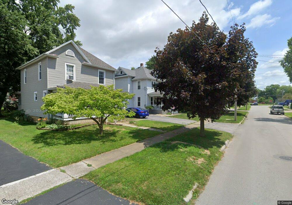
149 Robert Ave Bellevue, OH 44811
Estimated Value: $172,000 - $204,000
4
Beds
2
Baths
1,656
Sq Ft
$111/Sq Ft
Est. Value
About This Home
This home is located at 149 Robert Ave, Bellevue, OH 44811 and is currently estimated at $184,526, approximately $111 per square foot. 149 Robert Ave is a home located in Huron County with nearby schools including Bellevue Elementary School, Bellevue Middle School, and Bellevue High School.
Ownership History
Date
Name
Owned For
Owner Type
Purchase Details
Closed on
Aug 13, 2010
Bought by
Jeremy M Adams
Current Estimated Value
Purchase Details
Closed on
Nov 9, 2009
Bought by
Firelands Federal Credit Union
Purchase Details
Closed on
Oct 7, 2002
Sold by
Rich John J
Bought by
Bogart Lillie J
Home Financials for this Owner
Home Financials are based on the most recent Mortgage that was taken out on this home.
Original Mortgage
$85,500
Interest Rate
6.39%
Mortgage Type
New Conventional
Purchase Details
Closed on
Jun 28, 1985
Bought by
Rich John J and Rich Darlene R
Create a Home Valuation Report for This Property
The Home Valuation Report is an in-depth analysis detailing your home's value as well as a comparison with similar homes in the area
Home Values in the Area
Average Home Value in this Area
Purchase History
| Date | Buyer | Sale Price | Title Company |
|---|---|---|---|
| Jeremy M Adams | $75,000 | -- | |
| Firelands Federal Credit Union | -- | -- | |
| Bogart Lillie J | $90,000 | -- | |
| Rich John J | $48,900 | -- |
Source: Public Records
Mortgage History
| Date | Status | Borrower | Loan Amount |
|---|---|---|---|
| Previous Owner | Bogart Lillie J | $85,500 |
Source: Public Records
Tax History Compared to Growth
Tax History
| Year | Tax Paid | Tax Assessment Tax Assessment Total Assessment is a certain percentage of the fair market value that is determined by local assessors to be the total taxable value of land and additions on the property. | Land | Improvement |
|---|---|---|---|---|
| 2024 | $1,613 | $49,460 | $6,430 | $43,030 |
| 2023 | $1,613 | $37,980 | $4,240 | $33,740 |
| 2022 | $1,260 | $37,980 | $4,240 | $33,740 |
| 2021 | $1,271 | $37,980 | $4,240 | $33,740 |
| 2020 | $1,076 | $32,140 | $4,240 | $27,900 |
| 2019 | $1,061 | $32,140 | $4,240 | $27,900 |
| 2018 | $1,047 | $32,140 | $4,240 | $27,900 |
| 2017 | $857 | $28,420 | $4,080 | $24,340 |
| 2016 | $837 | $28,420 | $4,080 | $24,340 |
| 2015 | $893 | $29,290 | $4,090 | $25,200 |
| 2014 | $949 | $29,930 | $4,100 | $25,830 |
| 2013 | $939 | $29,930 | $4,100 | $25,830 |
Source: Public Records
Map
Nearby Homes
- 819 Castalia St
- 808 Castalia St
- 303 Moore Ave
- 130 Huffman St
- 124 Sunset Dr
- 219 Huffman St
- 126 Greenwood Heights
- 408 W Main St
- 140 Harkness St
- 206 Southwest St
- 129 Hamilton St
- 501 E Center St
- 817 E Main St
- 154 Ashford Ave
- 231 Lawrence St
- 118 Maplewood
- 155 Ashford Ave
- 0 Oakwood Dr
- 230 Highland Ave Unit 106
- 150 Redwood Dr
- 153 Robert Ave
- 145 Robert Ave
- 141 Robert Ave
- 137 Robert Ave
- 146 William Ave
- 154 William Ave
- 801 Castalia St
- 805 Castalia St
- 142 William Ave
- 721 Castalia St
- 146 Robert Ave
- 133 Robert Ave
- 815 Castalia St
- 142 Robert Ave
- 138 William Ave
- 717 Castalia St
- 138 Robert Ave
- 129 Robert Ave
- 134 William Ave
- 134 Robert Ave