149 S Rock Island Dr Eatonton, GA 31024
Estimated Value: $706,007 - $1,014,000
--
Bed
3
Baths
1,892
Sq Ft
$428/Sq Ft
Est. Value
About This Home
This home is located at 149 S Rock Island Dr, Eatonton, GA 31024 and is currently estimated at $809,002, approximately $427 per square foot. 149 S Rock Island Dr is a home located in Putnam County with nearby schools including Putnam County Primary School, Putnam County Elementary School, and Putnam County Middle School.
Ownership History
Date
Name
Owned For
Owner Type
Purchase Details
Closed on
Sep 21, 1998
Sold by
Schmitt Brain D
Bought by
Doyle Thomas J and Doyle Jea
Current Estimated Value
Purchase Details
Closed on
Oct 15, 1996
Sold by
Cuddeback Robert and Cuddeback M
Bought by
Schmitt Brain D
Purchase Details
Closed on
Jan 16, 1990
Sold by
Norman William A
Bought by
Cuddeback Robert and Cuddeback M
Purchase Details
Closed on
Aug 29, 1989
Sold by
Eubanks L Dennis
Bought by
Norman William A
Purchase Details
Closed on
Jun 1, 1986
Bought by
Eubanks L Dennis
Create a Home Valuation Report for This Property
The Home Valuation Report is an in-depth analysis detailing your home's value as well as a comparison with similar homes in the area
Home Values in the Area
Average Home Value in this Area
Purchase History
| Date | Buyer | Sale Price | Title Company |
|---|---|---|---|
| Doyle Thomas J | $75,000 | -- | |
| Schmitt Brain D | $44,000 | -- | |
| Cuddeback Robert | $33,500 | -- | |
| Norman William A | $28,000 | -- | |
| Eubanks L Dennis | $25,000 | -- |
Source: Public Records
Tax History Compared to Growth
Tax History
| Year | Tax Paid | Tax Assessment Tax Assessment Total Assessment is a certain percentage of the fair market value that is determined by local assessors to be the total taxable value of land and additions on the property. | Land | Improvement |
|---|---|---|---|---|
| 2024 | $2,415 | $240,939 | $88,000 | $152,939 |
| 2023 | $2,172 | $279,257 | $88,000 | $191,257 |
| 2022 | $2,607 | $182,636 | $71,500 | $111,136 |
| 2021 | $2,964 | $160,010 | $66,000 | $94,010 |
| 2020 | $3,157 | $157,182 | $65,000 | $92,182 |
| 2019 | $3,210 | $146,639 | $65,000 | $81,639 |
| 2018 | $3,231 | $145,624 | $65,000 | $80,624 |
| 2017 | $2,917 | $139,360 | $65,000 | $74,360 |
| 2016 | $2,920 | $139,360 | $65,000 | $74,360 |
| 2015 | $2,815 | $139,360 | $65,000 | $74,361 |
| 2014 | $2,819 | $139,361 | $65,000 | $74,361 |
Source: Public Records
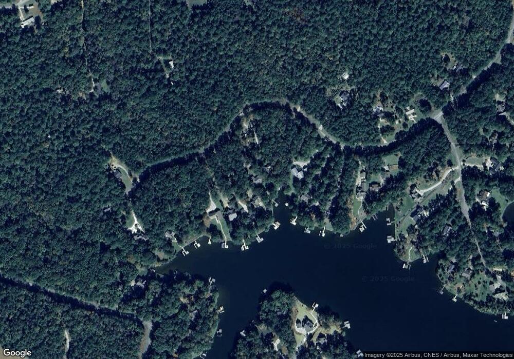
Map
Nearby Homes
- 153 S Rock Island Dr
- Lot 8 S Rock Island Dr
- 145 S Rock Island Dr
- 165 S Rock Island Dr
- 186 Harbor Dr
- 144 Rock Springs Rd
- 290 Long Shoals Rd
- 262 N Rock Island Dr
- 0 Long Shoals Dr Unit 10601520
- 0 Long Shoals Dr Unit 69378
- 264 Winding River Rd
- 403 Long Shoals Dr
- 351 River Lake Dr
- 308 River Lake Dr
- 536 River Lake Dr
- 234 River Lake Dr
- 121 Long Island Dr
- 147 S Rock Island Dr
- 155 S Rock Island Dr
- 157 S Rock Island Dr
- 143 S Rock Island Dr
- 141 S Rock Island Dr
- 139 S Rock Island Dr
- 145 Rock Island Dr
- 128 S Rock Island Dr Unit 26
- 128 S Rock Island Dr
- S S Rock Island Dr Unit 43,44,45
- 00 S Rock Island Dr
- 10 S Rock Island Dr
- 10 S Rock Island Dr Unit 10
- Lot 10 S Rock Island Dr
- S S Rock Island Dr Unit 2
- S S Rock Island Dr Unit Lot 2
- S S Rock Island Dr Unit 42
- S S Rock Island Dr
- Lot 2 S Rock Island Dr Unit 2
- Lot 2 S Rock Island Dr