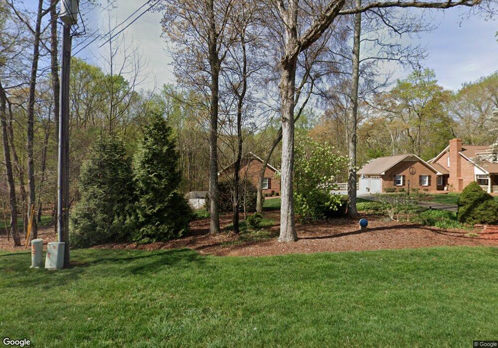
149 Shallowbrook Dr Advance, NC 27006
Estimated Value: $430,000 - $522,000
3
Beds
3
Baths
2,478
Sq Ft
$194/Sq Ft
Est. Value
About This Home
This home is located at 149 Shallowbrook Dr, Advance, NC 27006 and is currently estimated at $479,953, approximately $193 per square foot. 149 Shallowbrook Dr is a home located in Davie County with nearby schools including Pinebrook Elementary School, North Davie Middle School, and Davie County High School.
Ownership History
Date
Name
Owned For
Owner Type
Purchase Details
Closed on
Jun 25, 2008
Sold by
Lawrence Daniel Lee and Lawrence Lori Anne Phillips
Bought by
Lawrence Daniel Lee and Lawrence Lori Anne Phillips
Current Estimated Value
Purchase Details
Closed on
May 4, 2006
Sold by
Lawrence D C and Lawrence Patty Sue
Bought by
Lawrence Daniel Lee and Lawrence Lori Anne Phillips
Purchase Details
Closed on
Jul 1, 1987
Create a Home Valuation Report for This Property
The Home Valuation Report is an in-depth analysis detailing your home's value as well as a comparison with similar homes in the area
Home Values in the Area
Average Home Value in this Area
Purchase History
| Date | Buyer | Sale Price | Title Company |
|---|---|---|---|
| Lawrence Daniel Lee | -- | -- | |
| Lawrence Daniel Lee | $125,000 | -- | |
| Lawrence D C | -- | -- | |
| -- | -- | -- |
Source: Public Records
Tax History Compared to Growth
Tax History
| Year | Tax Paid | Tax Assessment Tax Assessment Total Assessment is a certain percentage of the fair market value that is determined by local assessors to be the total taxable value of land and additions on the property. | Land | Improvement |
|---|---|---|---|---|
| 2025 | $2,527 | $366,490 | $60,000 | $306,490 |
| 2024 | $1,962 | $253,270 | $60,000 | $193,270 |
| 2023 | $1,962 | $253,270 | $60,000 | $193,270 |
| 2022 | $1,962 | $253,270 | $60,000 | $193,270 |
| 2021 | $1,962 | $253,270 | $60,000 | $193,270 |
| 2020 | $1,923 | $246,630 | $60,000 | $186,630 |
| 2019 | $1,923 | $246,630 | $60,000 | $186,630 |
| 2018 | $1,919 | $246,630 | $60,000 | $186,630 |
| 2017 | $1,898 | $246,630 | $0 | $0 |
| 2016 | $1,923 | $249,870 | $0 | $0 |
| 2015 | $1,924 | $249,870 | $0 | $0 |
| 2014 | $1,653 | $249,870 | $0 | $0 |
| 2013 | -- | $249,870 | $0 | $0 |
Source: Public Records
Map
Nearby Homes
- 245 Shallowbrook Dr
- 197 Dare Ln
- 271 Redland Rd
- 279 Redland Rd
- Cypress Plan at Redland
- Sullivan Plan at Redland
- Cooper Plan at Redland
- Wescott Plan at Redland
- Avery Plan at Redland
- Davidson Plan at Redland
- 159 King Arthur Ln
- 290 Redland Rd
- 300 Redland Rd
- 1270 Rainbow Rd
- 844 Rainbow Rd
- 134 Baltimore Rd
- Davidson Plan at Fiddler's Ridge
- Atherton Plan at Fiddler's Ridge
- Colfax Plan at Fiddler's Ridge
- Sullivan Plan at Fiddler's Ridge
- 161 Shallowbrook Dr
- 152 Shallowbrook Dr
- 144 Shallowbrook Dr
- 160 Shallowbrook Dr
- 173 Shallowbrook Dr
- 138 Shallowbrook Dr
- 166 Shallowbrook Dr
- 4111 Us Highway 158
- 128 Shallowbrook Dr
- 178 Shallowbrook Dr
- 186 Shallowbrook Dr
- 191 Shallowbrook Dr
- 4147 Us Highway 158
- 135 Brookhaven Ln
- 4087 U S 158
- 120 Emily Dr
- 4142 Us Highway 158
- 125 Backdraft Trail
- 211 Shallowbrook Dr
- 143 Brookhaven Ln