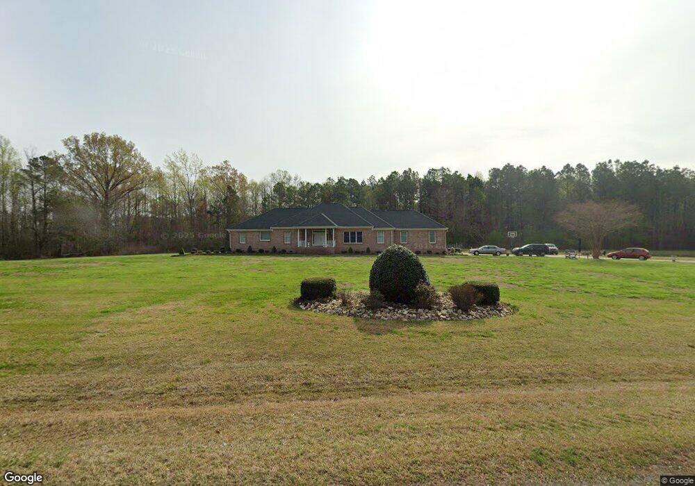
149 Snowden Rd Moyock, NC 27958
Estimated Value: $642,000 - $860,000
8
Beds
5
Baths
3,421
Sq Ft
$220/Sq Ft
Est. Value
About This Home
This home is located at 149 Snowden Rd, Moyock, NC 27958 and is currently estimated at $751,127, approximately $219 per square foot. 149 Snowden Rd is a home located in Currituck County with nearby schools including Shawboro Elementary School, Moyock Middle School, and Currituck County High School.
Ownership History
Date
Name
Owned For
Owner Type
Purchase Details
Closed on
Aug 10, 2006
Sold by
Spence Albert C
Bought by
Simpson Frank and Simpson Vivian M
Current Estimated Value
Home Financials for this Owner
Home Financials are based on the most recent Mortgage that was taken out on this home.
Original Mortgage
$60,000
Outstanding Balance
$35,984
Interest Rate
6.74%
Mortgage Type
Future Advance Clause Open End Mortgage
Estimated Equity
$715,143
Purchase Details
Closed on
Dec 31, 1899
Bought by
Simpson Frank and Simpson Vivian M
Create a Home Valuation Report for This Property
The Home Valuation Report is an in-depth analysis detailing your home's value as well as a comparison with similar homes in the area
Home Values in the Area
Average Home Value in this Area
Purchase History
| Date | Buyer | Sale Price | Title Company |
|---|---|---|---|
| Simpson Frank | $85,000 | None Available | |
| Simpson Frank | -- | -- |
Source: Public Records
Mortgage History
| Date | Status | Borrower | Loan Amount |
|---|---|---|---|
| Open | Simpson Frank | $60,000 |
Source: Public Records
Tax History Compared to Growth
Tax History
| Year | Tax Paid | Tax Assessment Tax Assessment Total Assessment is a certain percentage of the fair market value that is determined by local assessors to be the total taxable value of land and additions on the property. | Land | Improvement |
|---|---|---|---|---|
| 2024 | $3,390 | $504,600 | $178,000 | $326,600 |
| 2023 | $3,390 | $504,600 | $178,000 | $326,600 |
| 2022 | $2,568 | $504,600 | $178,000 | $326,600 |
| 2021 | $2,560 | $424,500 | $151,800 | $272,700 |
| 2020 | $2,197 | $424,500 | $151,800 | $272,700 |
| 2019 | $2,196 | $424,500 | $151,800 | $272,700 |
| 2018 | $2,197 | $424,500 | $151,800 | $272,700 |
| 2017 | $2,162 | $424,500 | $151,800 | $272,700 |
| 2016 | $2,213 | $424,500 | $151,800 | $272,700 |
| 2015 | $2,163 | $424,500 | $151,800 | $272,700 |
Source: Public Records
Map
Nearby Homes
- 1861 Caratoke Hwy
- 0000 Snowden
- 110 Sligo Way
- 130 Rowland Creek Rd
- 8 E Ridge Rd
- 626 Poyners Rd
- 0 Poyners Rd Unit 100508289
- 498 Poyners Rd
- 50+AC Poyners Rd
- TBD Poyners Rd
- 329 Poyners Rd
- 2286 Caratoke Hwy
- TBD Tulls Creek Rd
- 119 Elrod Rd
- Mm Northern Pine (Derring Ii) Dr
- 111 Rosedale Ct Unit Lot 9
- 111 Rosedale Ct
- 401 Guinea Rd
- Mm Northern Pine (Squire Model) Dr
- 104 Briton Way Unit Lot 64
- 125 Snowden Rd
- 119 Snowden Rd
- 175 Snowden Rd
- 102 Frank Dr
- 3AC Snowden Rd
- 179 Snowden Rd
- 113 Snowden Rd
- 100 Frank Dr
- 1796 Caratoke Hwy
- 185 Snowden Rd
- 102 Snowden Rd
- 108 Snowden Rd
- 191 Snowden Rd
- 1836 Caratoke Hwy
- 1803 Caratoke Hwy
- 1811 Caratoke Hwy
- 1840 Caratoke Hwy
- 1795 Caratoke Hwy
- 1831 Caratoke Hwy
- 1827 Caratoke Hwy