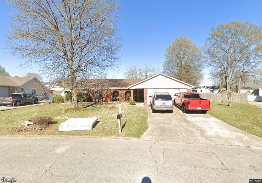
149 Toma Jean Dr Paragould, AR 72450
Estimated Value: $181,000 - $226,000
--
Bed
2
Baths
2,328
Sq Ft
$88/Sq Ft
Est. Value
About This Home
This home is located at 149 Toma Jean Dr, Paragould, AR 72450 and is currently estimated at $203,938, approximately $87 per square foot. 149 Toma Jean Dr is a home located in Greene County with nearby schools including Paragould High School and St. Mary's Catholic School & Preschool.
Ownership History
Date
Name
Owned For
Owner Type
Purchase Details
Closed on
Nov 5, 2007
Sold by
Long Johnnie Dale and The Long Family Revocable Trus
Bought by
Carpino Scott and Denning Chastan
Current Estimated Value
Home Financials for this Owner
Home Financials are based on the most recent Mortgage that was taken out on this home.
Original Mortgage
$77,000
Outstanding Balance
$50,035
Interest Rate
7%
Mortgage Type
Adjustable Rate Mortgage/ARM
Estimated Equity
$153,903
Purchase Details
Closed on
Mar 26, 1992
Bought by
Long Johnnie D and Long Melba F
Create a Home Valuation Report for This Property
The Home Valuation Report is an in-depth analysis detailing your home's value as well as a comparison with similar homes in the area
Home Values in the Area
Average Home Value in this Area
Purchase History
| Date | Buyer | Sale Price | Title Company |
|---|---|---|---|
| Carpino Scott | $85,000 | None Available | |
| Long Johnnie D | $70,000 | -- |
Source: Public Records
Mortgage History
| Date | Status | Borrower | Loan Amount |
|---|---|---|---|
| Open | Carpino Scott | $77,000 |
Source: Public Records
Tax History Compared to Growth
Tax History
| Year | Tax Paid | Tax Assessment Tax Assessment Total Assessment is a certain percentage of the fair market value that is determined by local assessors to be the total taxable value of land and additions on the property. | Land | Improvement |
|---|---|---|---|---|
| 2025 | $1,484 | $36,430 | $3,300 | $33,130 |
| 2024 | $1,378 | $36,430 | $3,300 | $33,130 |
| 2023 | $1,167 | $29,710 | $5,100 | $24,610 |
| 2022 | $792 | $29,710 | $5,100 | $24,610 |
| 2021 | $739 | $29,710 | $5,100 | $24,610 |
| 2020 | $1,061 | $23,050 | $5,100 | $17,950 |
| 2019 | $686 | $23,050 | $5,100 | $17,950 |
| 2018 | $680 | $23,050 | $5,100 | $17,950 |
| 2017 | $955 | $23,050 | $5,100 | $17,950 |
| 2016 | $562 | $23,050 | $5,100 | $17,950 |
| 2015 | $519 | $19,470 | $3,000 | $16,470 |
| 2014 | -- | $19,470 | $3,000 | $16,470 |
Source: Public Records
Map
Nearby Homes
- 2001 W Kingshighway
- 1811 Magnolia Ln
- 1701 Barnhill Rd
- 1700 Barnhill Rd
- 1905 Glendale St
- 2075 S 141 Hwy
- 4063 GRE 934 Rd
- 1801 Sara Ann Cir
- 3.65 ACRES U S 49
- 2311 S 20th St
- 1103 Summit Ridge Trail
- 1101 Summit Ridge Trail
- 1103 Summit Ridge Dr
- 1104 Summit Ridge Dr
- 125 S 12th St
- 412 Magnolia Dr
- 731 Greene St
- 106 Magnolia Dr
- 102 Magnolia Dr
- 506 N 12th St