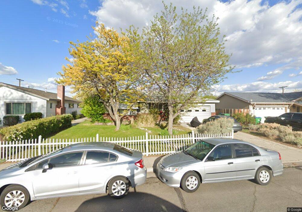
1490 Auburn Way Reno, NV 89502
The Grove NeighborhoodEstimated Value: $366,304 - $408,000
3
Beds
1
Bath
1,060
Sq Ft
$363/Sq Ft
Est. Value
About This Home
This home is located at 1490 Auburn Way, Reno, NV 89502 and is currently estimated at $384,826, approximately $363 per square foot. 1490 Auburn Way is a home located in Washoe County with nearby schools including Roger Corbett Elementary School, Vaughn Middle School, and Earl Wooster High School.
Ownership History
Date
Name
Owned For
Owner Type
Purchase Details
Closed on
Jun 13, 1994
Sold by
Andersen Harold J
Bought by
Dale Robert J and Moul Terry J
Current Estimated Value
Home Financials for this Owner
Home Financials are based on the most recent Mortgage that was taken out on this home.
Original Mortgage
$86,912
Interest Rate
8.56%
Mortgage Type
FHA
Create a Home Valuation Report for This Property
The Home Valuation Report is an in-depth analysis detailing your home's value as well as a comparison with similar homes in the area
Home Values in the Area
Average Home Value in this Area
Purchase History
| Date | Buyer | Sale Price | Title Company |
|---|---|---|---|
| Dale Robert J | $87,500 | Founders Title Company |
Source: Public Records
Mortgage History
| Date | Status | Borrower | Loan Amount |
|---|---|---|---|
| Closed | Dale Robert J | $86,912 |
Source: Public Records
Tax History Compared to Growth
Tax History
| Year | Tax Paid | Tax Assessment Tax Assessment Total Assessment is a certain percentage of the fair market value that is determined by local assessors to be the total taxable value of land and additions on the property. | Land | Improvement |
|---|---|---|---|---|
| 2026 | -- | $51,176 | $34,860 | $16,316 |
| 2025 | $530 | $50,446 | $34,265 | $16,181 |
| 2024 | $515 | $49,003 | $33,040 | $15,963 |
| 2023 | $515 | $47,981 | $33,390 | $14,591 |
| 2022 | $507 | $39,688 | $27,825 | $11,863 |
| 2021 | $496 | $29,848 | $18,270 | $11,578 |
| 2020 | $477 | $30,397 | $19,040 | $11,357 |
| 2019 | $463 | $27,380 | $16,660 | $10,720 |
| 2018 | $550 | $22,287 | $12,005 | $10,282 |
| 2017 | $534 | $20,523 | $10,430 | $10,093 |
| 2016 | $535 | $19,401 | $9,275 | $10,126 |
| 2015 | $539 | $17,279 | $7,350 | $9,929 |
| 2014 | $523 | $14,634 | $5,250 | $9,384 |
| 2013 | -- | $13,168 | $4,025 | $9,143 |
Source: Public Records
Map
Nearby Homes
- 1675 Auburn Way
- 1410 Cordone Ave
- 1675 Harvard Way
- 920 Brentwood Dr
- 745 Balzar Cir
- 2169 Kietzke Ln Unit B
- 2177 Kietzke Ln Unit D
- 2193 Kietzke Ln Unit 45
- 2245 Kietzke Ln Unit B
- 537 Colorado River Blvd
- 635 Cordone Ave
- 1025 Locust St
- 400 Claremont St
- 661 Thoma St
- 243 Claremont St
- 459 Cheney St
- 453 Cheney St
- 220 Plover Place
- 2020 Alamo Square Way
- 2040 Alamo Square Way
- 1470 Auburn Way
- 1510 Auburn Way
- 1495 Radcliffe Dr
- 1515 Radcliffe Dr
- 1465 Radcliffe Dr
- 1450 Auburn Way
- 1495 Auburn Way
- 1535 Radcliffe Dr
- 1435 Radcliffe Dr
- 1475 Auburn Way
- 1515 Auburn Way
- 1550 Auburn Way
- 1430 Auburn Way
- 1535 Auburn Way
- 1455 Auburn Way
- 1530 Auburn Way
- 1555 Radcliffe Dr
- 1401 Radcliffe Dr
- 1555 Auburn Way
- 1435 Auburn Way