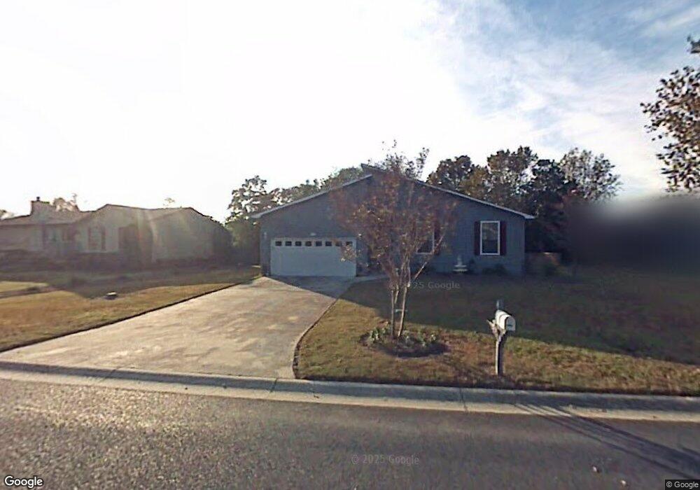
1490 Battery Reynolds Ct Charleston, SC 29412
James Island NeighborhoodEstimated Value: $588,985 - $687,000
3
Beds
2
Baths
1,600
Sq Ft
$394/Sq Ft
Est. Value
About This Home
This home is located at 1490 Battery Reynolds Ct, Charleston, SC 29412 and is currently estimated at $630,496, approximately $394 per square foot. 1490 Battery Reynolds Ct is a home located in Charleston County with nearby schools including James Island Elementary School, Camp Road Middle, and James Island Charter High School.
Ownership History
Date
Name
Owned For
Owner Type
Purchase Details
Closed on
May 19, 2010
Sold by
Wilson Deborah K
Bought by
Walker Brittany Quinn and Walker Alexander Scott
Current Estimated Value
Home Financials for this Owner
Home Financials are based on the most recent Mortgage that was taken out on this home.
Original Mortgage
$169,200
Outstanding Balance
$113,962
Interest Rate
5.15%
Mortgage Type
New Conventional
Estimated Equity
$516,534
Create a Home Valuation Report for This Property
The Home Valuation Report is an in-depth analysis detailing your home's value as well as a comparison with similar homes in the area
Home Values in the Area
Average Home Value in this Area
Purchase History
| Date | Buyer | Sale Price | Title Company |
|---|---|---|---|
| Walker Brittany Quinn | $211,500 | -- |
Source: Public Records
Mortgage History
| Date | Status | Borrower | Loan Amount |
|---|---|---|---|
| Open | Walker Brittany Quinn | $169,200 |
Source: Public Records
Tax History Compared to Growth
Tax History
| Year | Tax Paid | Tax Assessment Tax Assessment Total Assessment is a certain percentage of the fair market value that is determined by local assessors to be the total taxable value of land and additions on the property. | Land | Improvement |
|---|---|---|---|---|
| 2024 | $4,373 | $14,890 | $0 | $0 |
| 2023 | $4,373 | $14,890 | $0 | $0 |
| 2022 | $4,031 | $14,890 | $0 | $0 |
| 2021 | $3,982 | $14,890 | $0 | $0 |
| 2020 | $3,953 | $14,890 | $0 | $0 |
| 2019 | $3,616 | $12,950 | $0 | $0 |
| 2017 | $3,457 | $8,630 | $0 | $0 |
| 2016 | $1,134 | $8,630 | $0 | $0 |
| 2015 | $1,170 | $8,630 | $0 | $0 |
| 2014 | $1,097 | $0 | $0 | $0 |
| 2011 | -- | $0 | $0 | $0 |
Source: Public Records
Map
Nearby Homes
- 1344 Seaside Plantation Dr
- 1250 Seaside Plantation Dr
- 1370 Tidal Creek Cove
- 114 Sea Cotton Cir
- 1028 Hills Plantation Dr
- 1445 Swamp Angel Ct
- 632 Goodlet Cir
- 1173 Sea Eagle Watch
- 1422 Wexford Sound Dr
- 742 Majestic Oak Dr
- 1470 Eutaw Battalion Dr
- 746 Goodlet Cir
- 623 Majestic Oaks Dr
- 1143 Sea Eagle Watch
- 1393 Secessionville Rd
- 1245 Lakefront Dr
- 1502 Westway Dr
- 1547 Seacroft Rd
- 1512 Seacroft Rd
- 1667 Back Creek Rd
- 1292 Stiles Bee Ave
- 1486 Battery Reynolds Ct
- 1489 Putnam Dr
- 1493 Putnam Dr
- 1485 Battery Reynolds Ct
- 1489 Battery Reynolds Ct
- 1482 Battery Reynolds Ct
- 1485 Putnam Dr
- 1483 Battery Reynolds Ct
- 1480 Battery Reynolds Ct
- 1293 Stiles Bee Ave
- 1287 Stiles Bee Ave
- 1297 Stiles Bee Ave
- 1481 Putnam Dr
- 1494 Battery Kirby Ct
- 1283 Stiles Bee Ave
- 1277 Stiles Bee Ave
- 1471 Battery Brown Ct
- 1492 Battery Kirby Ct
- 161 Sea Cotton Cir