1490 Highway 2 Blue Ridge, GA 30513
Estimated Value: $376,000 - $536,000
--
Bed
--
Bath
1,288
Sq Ft
$343/Sq Ft
Est. Value
About This Home
This home is located at 1490 Highway 2, Blue Ridge, GA 30513 and is currently estimated at $441,711, approximately $342 per square foot. 1490 Highway 2 is a home with nearby schools including Fannin County High School.
Ownership History
Date
Name
Owned For
Owner Type
Purchase Details
Closed on
Jan 25, 2019
Sold by
Cole Mary Jo
Bought by
Chapman Dennis and Chapman Jan
Current Estimated Value
Purchase Details
Closed on
Aug 29, 2016
Sold by
Jo Mary
Bought by
Stancliff Carol A
Purchase Details
Closed on
Aug 26, 2016
Sold by
Franklin D
Bought by
Cole Mary Jo
Purchase Details
Closed on
Apr 30, 2002
Sold by
Briggs Judy
Bought by
Cole Franklin D and Mary Jo
Purchase Details
Closed on
Apr 11, 2002
Sold by
Hanie Leonard J
Bought by
Cole Franklin D and Mary Jo
Purchase Details
Closed on
Jul 27, 2001
Sold by
Greenpoint Credit Corporation
Bought by
Hanie Leonard J
Purchase Details
Closed on
Sep 1, 1999
Sold by
Stepp A L
Bought by
Hanie Leonard J
Create a Home Valuation Report for This Property
The Home Valuation Report is an in-depth analysis detailing your home's value as well as a comparison with similar homes in the area
Home Values in the Area
Average Home Value in this Area
Purchase History
| Date | Buyer | Sale Price | Title Company |
|---|---|---|---|
| Chapman Dennis | $20,000 | -- | |
| Stancliff Carol A | -- | -- | |
| Cole Mary Jo | -- | -- | |
| Cole Franklin D | -- | -- | |
| Cole Franklin D | $23,000 | -- | |
| Hanie Leonard J | -- | -- | |
| Hanie Leonard J | $7,500 | -- |
Source: Public Records
Tax History Compared to Growth
Tax History
| Year | Tax Paid | Tax Assessment Tax Assessment Total Assessment is a certain percentage of the fair market value that is determined by local assessors to be the total taxable value of land and additions on the property. | Land | Improvement |
|---|---|---|---|---|
| 2024 | $170 | $142,339 | $7,045 | $135,294 |
| 2023 | $0 | $116,915 | $7,045 | $109,870 |
| 2022 | $121 | $118,025 | $7,045 | $110,980 |
| 2021 | $974 | $69,493 | $7,045 | $62,448 |
| 2020 | $125 | $8,781 | $7,045 | $1,736 |
| 2019 | $128 | $8,781 | $7,045 | $1,736 |
| 2018 | $104 | $6,768 | $5,032 | $1,736 |
| 2017 | $121 | $6,833 | $5,032 | $1,801 |
| 2016 | $85 | $5,032 | $5,032 | $0 |
| 2015 | $89 | $5,032 | $5,032 | $0 |
| 2014 | $80 | $4,503 | $4,503 | $0 |
| 2013 | -- | $4,502 | $4,502 | $0 |
Source: Public Records
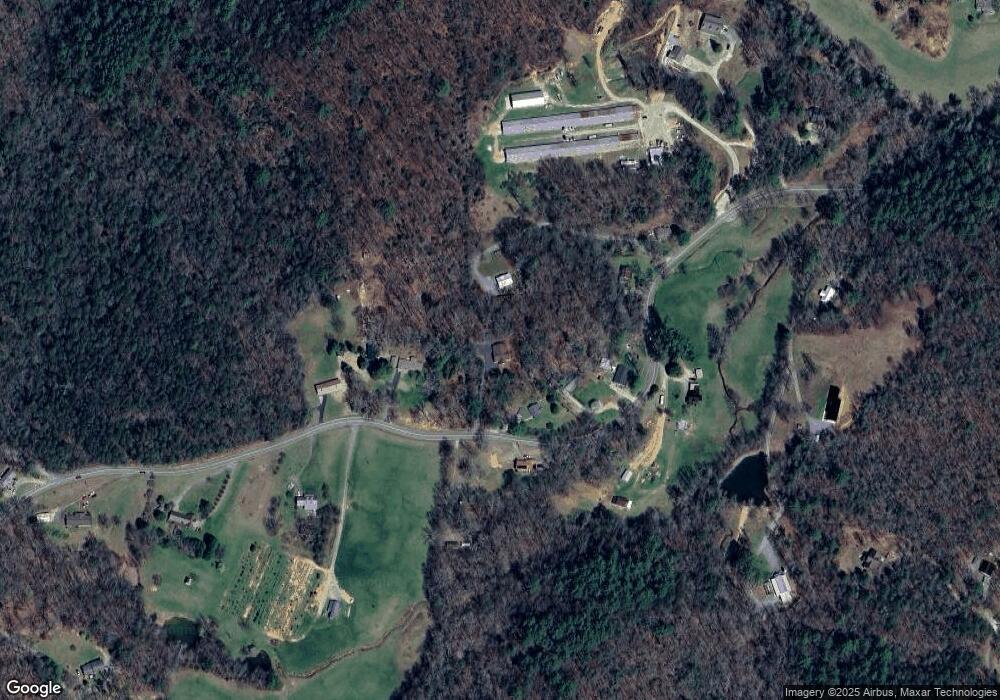
Map
Nearby Homes
- 2695 Highway 2
- 2695 Highway 2 Unit 3
- 201 Jaquar Ln
- 129 Old Bend Rd
- 120 Sunrock Mountain Trc
- 2596 Highway 2
- 308 Hemlock Trail
- 120 Sunrock Mountain Trace
- 65 Black Oak Ridge Rd
- 820 Ash Loop Rd
- Lot 19 Black Oak Rd
- 1264 Sun Rock Mountain Rd
- 222 Icy Ln
- LT 5 Sunrock Mountain Trace
- LT 4 Sunrock Mountain Trace
- HEMLOCK Hemlock Trail
- 115 Black Oak Ridge Rd
- LT 5 Sunrock Mountain Trc
- LT 4 Sunrock Mountain Trc
- 401 Sunrock Mountain Trc
- 1480 Highway 2
- 1480 Highway 2
- 1420 Highway 2
- 1296 Highway 2
- 1390 Highway 2
- 1461 Highway 2
- 1310 Highway 2
- 1505 Highway 2
- 1580 Highway 2
- 1159 Highway 2
- 1159 Highway 2
- 1159 Highway 2
- 1363 Highway 2
- 1250 Highway 2
- 1651 Highway 2
- 250 Pond Cove
- 1204 Highway 2
- 1204 Highway 2
- 1254 Highway 2
- 308 Chestnut Gap Ln