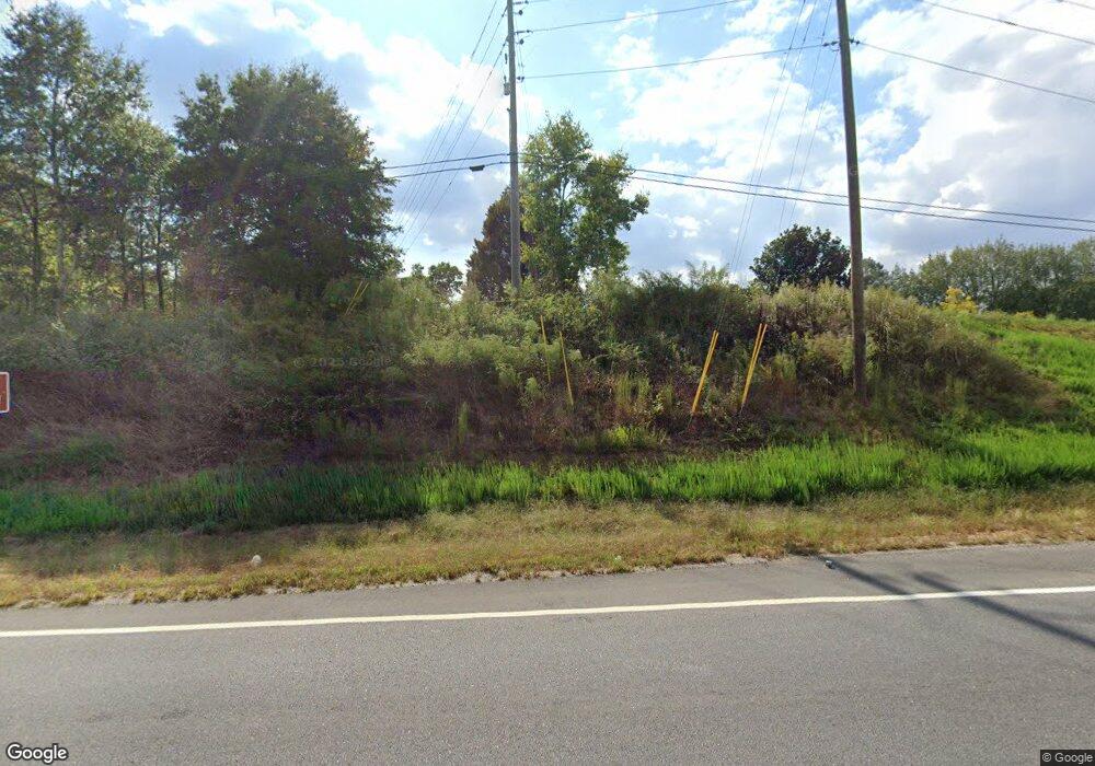
1490 Highway 211 NW Hoschton, GA 30548
Estimated Value: $314,243 - $444,000
2
Beds
2
Baths
1,624
Sq Ft
$235/Sq Ft
Est. Value
About This Home
This home is located at 1490 Highway 211 NW, Hoschton, GA 30548 and is currently estimated at $381,311, approximately $234 per square foot. 1490 Highway 211 NW is a home located in Barrow County with nearby schools including Bramlett Elementary School, Russell Middle School, and Winder-Barrow High School.
Ownership History
Date
Name
Owned For
Owner Type
Purchase Details
Closed on
Apr 19, 1996
Sold by
Thau Teng Dia
Bought by
Haynes Michael T and Cissell Terri D
Current Estimated Value
Purchase Details
Closed on
Oct 14, 1994
Sold by
Griffith Doyle
Bought by
Thao Teng
Home Financials for this Owner
Home Financials are based on the most recent Mortgage that was taken out on this home.
Original Mortgage
$68,000
Interest Rate
8.62%
Mortgage Type
Purchase Money Mortgage
Create a Home Valuation Report for This Property
The Home Valuation Report is an in-depth analysis detailing your home's value as well as a comparison with similar homes in the area
Home Values in the Area
Average Home Value in this Area
Purchase History
| Date | Buyer | Sale Price | Title Company |
|---|---|---|---|
| Haynes Michael T | $103,000 | -- | |
| Thao Teng | $92,000 | -- |
Source: Public Records
Mortgage History
| Date | Status | Borrower | Loan Amount |
|---|---|---|---|
| Previous Owner | Thao Teng | $68,000 | |
| Closed | Haynes Michael T | $0 |
Source: Public Records
Tax History Compared to Growth
Tax History
| Year | Tax Paid | Tax Assessment Tax Assessment Total Assessment is a certain percentage of the fair market value that is determined by local assessors to be the total taxable value of land and additions on the property. | Land | Improvement |
|---|---|---|---|---|
| 2024 | $843 | $88,660 | $20,000 | $68,660 |
| 2023 | $579 | $88,660 | $20,000 | $68,660 |
| 2022 | $528 | $61,221 | $20,000 | $41,221 |
| 2021 | $482 | $53,819 | $16,000 | $37,819 |
| 2020 | $399 | $47,338 | $12,920 | $34,418 |
| 2019 | $428 | $48,174 | $13,756 | $34,418 |
| 2018 | $401 | $48,174 | $13,756 | $34,418 |
| 2017 | $1,248 | $42,854 | $13,756 | $29,098 |
| 2016 | $775 | $43,609 | $13,756 | $29,853 |
| 2015 | $789 | $43,986 | $13,756 | $30,230 |
| 2014 | $560 | $37,348 | $6,740 | $30,608 |
| 2013 | -- | $35,936 | $6,740 | $29,195 |
Source: Public Records
Map
Nearby Homes
- 1136 Lexington Ridge Rd
- 1406 Lull Water Ct
- 840 Champagne Ln
- 857 Champagne Ln
- 1022 Cyperts Trail
- 1381 Larose Dr
- 1381 Larose Dr Unit LOT 55A
- The Avondale Plan at The Springs of Chateau
- The Addison Plan at The Springs of Chateau
- The Allyson Plan at The Springs of Chateau
- 1830 Sauterne Dr
- 852 Georgetown Dr
- 79 Hunters Way
- 24 Rocking Wood Dr
- 112 Rocking Wood Dr
- 339 Conway Trail
- 65 Blackshear Ct
- 1039 Montrose Way
- 156 Rocky Ridge Way
- 150 Rocky Ridge Way
- 1082 Old Thompson Mill Rd
- 722 Old Hog Mountain Rd
- 702 Covered Bridge Rd
- 735 Old Hog Mountain Rd
- 690 Covered Bridge Rd
- 740 Old Hog Mountain Rd
- 1068 Old Thompson Mill Rd
- 0 Covered Bridge Rd Unit 7311126
- 0 Covered Bridge Rd
- 651 Covered Bridge Rd
- 755 Old Hog Mountain Rd
- 1120 Lexington Ridge Rd
- 1124 Lexington Ridge Rd
- 0 Lexington Ridge Rd 0
- 1128 Lexington Ridge Road 0
- 1128 Lexington Ridge Rd
- 1261 Charlie Hall Rd
- 760 Old Hog Mountain Rd
- 1132 Lexington Ridge Rd
- 766 Old Hog Mountain Rd
