Estimated Value: $275,578 - $309,000
5
Beds
3
Baths
2,174
Sq Ft
$133/Sq Ft
Est. Value
About This Home
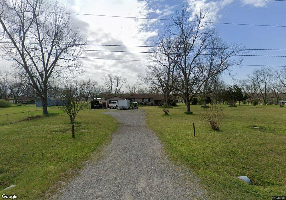
This home is located at 1490 Kay Rd, Byron, GA 31008 and is currently estimated at $289,145, approximately $133 per square foot. 1490 Kay Rd is a home located in Peach County with nearby schools including Kay Road Elementary School, Fort Valley Middle School, and Peach County High School.
Ownership History
Date
Name
Owned For
Owner Type
Purchase Details
Closed on
Dec 11, 2020
Sold by
Brothers Dennis J
Bought by
Brothers Katy M
Current Estimated Value
Home Financials for this Owner
Home Financials are based on the most recent Mortgage that was taken out on this home.
Original Mortgage
$167,679
Outstanding Balance
$148,186
Interest Rate
2.8%
Mortgage Type
FHA
Estimated Equity
$140,959
Purchase Details
Closed on
May 22, 2006
Sold by
Brothers Dennis J
Bought by
Brothers Katy M
Home Financials for this Owner
Home Financials are based on the most recent Mortgage that was taken out on this home.
Original Mortgage
$43,750
Interest Rate
6.44%
Mortgage Type
New Conventional
Purchase Details
Closed on
Nov 6, 1992
Bought by
Brothers Dennis J
Purchase Details
Closed on
Apr 30, 1991
Bought by
Brothers Dennis J and Brothers Katy M
Purchase Details
Closed on
Jun 29, 1983
Bought by
Nicholls Peter R and Nicholls Martha A
Create a Home Valuation Report for This Property
The Home Valuation Report is an in-depth analysis detailing your home's value as well as a comparison with similar homes in the area
Home Values in the Area
Average Home Value in this Area
Purchase History
| Date | Buyer | Sale Price | Title Company |
|---|---|---|---|
| Brothers Katy M | -- | -- | |
| Brothers Katy M | -- | -- | |
| Brothers Dennis J | -- | -- | |
| Brothers Dennis J | $81,800 | -- | |
| Nicholls Peter R | $8,800 | -- |
Source: Public Records
Mortgage History
| Date | Status | Borrower | Loan Amount |
|---|---|---|---|
| Open | Brothers Katy M | $167,679 | |
| Previous Owner | Brothers Katy M | $43,750 |
Source: Public Records
Tax History
| Year | Tax Paid | Tax Assessment Tax Assessment Total Assessment is a certain percentage of the fair market value that is determined by local assessors to be the total taxable value of land and additions on the property. | Land | Improvement |
|---|---|---|---|---|
| 2025 | $1,763 | $64,000 | $9,320 | $54,680 |
| 2024 | $1,812 | $62,240 | $9,600 | $52,640 |
| 2023 | $1,818 | $61,960 | $9,600 | $52,360 |
| 2022 | $1,637 | $55,240 | $9,600 | $45,640 |
| 2021 | $1,671 | $49,000 | $9,600 | $39,400 |
| 2020 | $1,731 | $50,920 | $9,600 | $41,320 |
| 2019 | $1,701 | $49,720 | $9,600 | $40,120 |
| 2018 | $1,709 | $49,720 | $9,600 | $40,120 |
| 2017 | $1,716 | $49,720 | $9,600 | $40,120 |
| 2016 | $1,710 | $49,720 | $9,600 | $40,120 |
| 2015 | $1,712 | $49,720 | $9,600 | $40,120 |
| 2014 | $1,715 | $49,720 | $9,600 | $40,120 |
| 2013 | -- | $49,720 | $9,600 | $40,120 |
Source: Public Records
Map
Nearby Homes
- 204 Brandon Way
- 450 Jones Rd
- 129 Amanda Dr
- 109 Red Tail Cir
- 4682 Housers Mill Rd
- 0 Barker Rd Unit 243030
- 0 Barker Rd Unit 14258525
- 0 Barker Rd Unit 175053
- 0 Housers Mill Rd Unit 5515996
- 161 Rowland Cir
- 0 Peavy Rd
- 174 Majestic Oak Cir
- 51 Allred Rd
- 252 Shantz Way Unit (LOT A43)
- 252 Shantz Way
- 250 Shantz Way
- 250 Shantz Way Unit LOT A42
- 246 Shantz Way Unit (LOT A40)
- 246 Shantz Way
- 262 Shantz Way Unit (LOT A48)
- 1612 Walker Rd
- 1644 Walker Rd
- 1367 Kay Rd
- 1704 Walker Rd
- 1414 Kay Rd
- 1544 Walker Rd
- 106 Champagne Dr
- 108 Champagne Dr
- 88 Champagne Dr
- 112 Champagne Dr
- 66 Champagne Dr
- 52 Champagne Dr
- 1500 Walker Rd
- 1362 Kay Rd
- 200 Champagne Dr
- 26 Champagne Dr
- 1465 Kay Rd
- 1641 Walker Rd
- 101 Champagne Dr
- 91 Champagne Dr
Your Personal Tour Guide
Ask me questions while you tour the home.