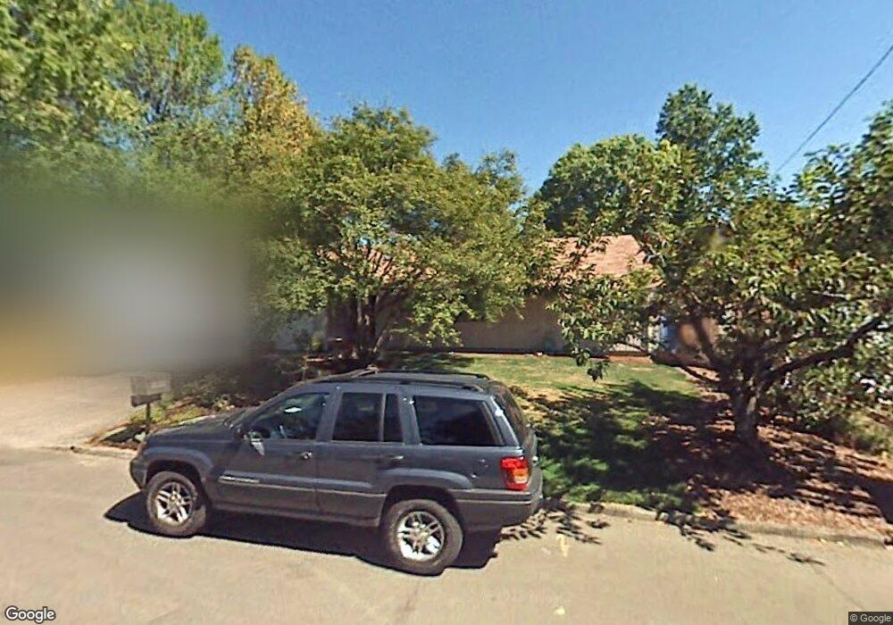
1490 NW 131st Ave Portland, OR 97229
Estimated Value: $596,000 - $640,000
3
Beds
2
Baths
1,823
Sq Ft
$336/Sq Ft
Est. Value
About This Home
This home is located at 1490 NW 131st Ave, Portland, OR 97229 and is currently estimated at $613,131, approximately $336 per square foot. 1490 NW 131st Ave is a home located in Washington County with nearby schools including Terra Linda Elementary School, Sunset High School, and St. Pius X. School.
Ownership History
Date
Name
Owned For
Owner Type
Purchase Details
Closed on
Jul 7, 2005
Sold by
Pearl William R and Pearl Claire G
Bought by
Solomonson Adam and Solomonson Carol
Current Estimated Value
Home Financials for this Owner
Home Financials are based on the most recent Mortgage that was taken out on this home.
Original Mortgage
$247,500
Outstanding Balance
$128,279
Interest Rate
5.55%
Mortgage Type
Fannie Mae Freddie Mac
Estimated Equity
$484,852
Create a Home Valuation Report for This Property
The Home Valuation Report is an in-depth analysis detailing your home's value as well as a comparison with similar homes in the area
Home Values in the Area
Average Home Value in this Area
Purchase History
| Date | Buyer | Sale Price | Title Company |
|---|---|---|---|
| Solomonson Adam | $275,000 | Lawyers Title Ins |
Source: Public Records
Mortgage History
| Date | Status | Borrower | Loan Amount |
|---|---|---|---|
| Open | Solomonson Adam | $247,500 |
Source: Public Records
Tax History Compared to Growth
Tax History
| Year | Tax Paid | Tax Assessment Tax Assessment Total Assessment is a certain percentage of the fair market value that is determined by local assessors to be the total taxable value of land and additions on the property. | Land | Improvement |
|---|---|---|---|---|
| 2025 | $5,047 | $275,230 | -- | -- |
| 2024 | $4,741 | $267,220 | -- | -- |
| 2023 | $4,741 | $259,440 | $0 | $0 |
| 2022 | $4,582 | $259,440 | $0 | $0 |
| 2021 | $4,417 | $244,560 | $0 | $0 |
| 2020 | $4,282 | $237,440 | $0 | $0 |
| 2019 | $4,148 | $230,530 | $0 | $0 |
| 2018 | $4,013 | $223,820 | $0 | $0 |
| 2017 | $3,870 | $217,310 | $0 | $0 |
| 2016 | $3,732 | $210,990 | $0 | $0 |
| 2015 | $3,613 | $204,850 | $0 | $0 |
| 2014 | $3,551 | $198,890 | $0 | $0 |
Source: Public Records
Map
Nearby Homes
- 1545 NW 131st Ave
- 1470 NW 136th Ave
- 1625 NW 136th Ave
- 1700 NW Saltzman Rd
- 13187 NW Burton St
- 2361 NW Origami Ct
- 12274 NW Coleman Dr
- 1632 NW 143rd Ave
- 12170 NW Marshall St
- 1914 NW 143rd Ave Unit 28
- 1914 NW 143rd Ave Unit 25
- 1946 NW 143rd Ave Unit 92
- 1950 NW 143rd Ave Unit 99
- 1750 NW 143rd Ave
- 12622 NW Barnes Rd Unit 2
- 12622 NW Barnes Rd Unit 6
- 12620 NW Barnes Rd Unit 5
- 12618 NW Barnes Rd Unit 11
- 12634 NW Barnes Rd Unit 8
- 13115 NW Glenridge Dr
- 1470 NW 131st Ave
- 1520 NW 131st Ave
- 1505 NW 130th Ave
- 1450 NW 131st Ave
- 1455 NW 130th Ave
- 1550 NW 131st Ave
- 1535 NW 130th Ave
- 13130 NW Lovejoy St
- 13135 NW Lovejoy St
- 1435 NW 130th Ave
- 1430 NW 131st Ave
- 1455 NW 131st Ave
- 1580 NW 131st Ave
- 1565 NW 130th Ave
- 1480 NW 130th Ave
- 1435 NW 131st Ave
- 1575 NW 131st Ave
- 1460 NW 130th Ave
- 1510 NW 130th Ave
- 13170 NW Lovejoy St