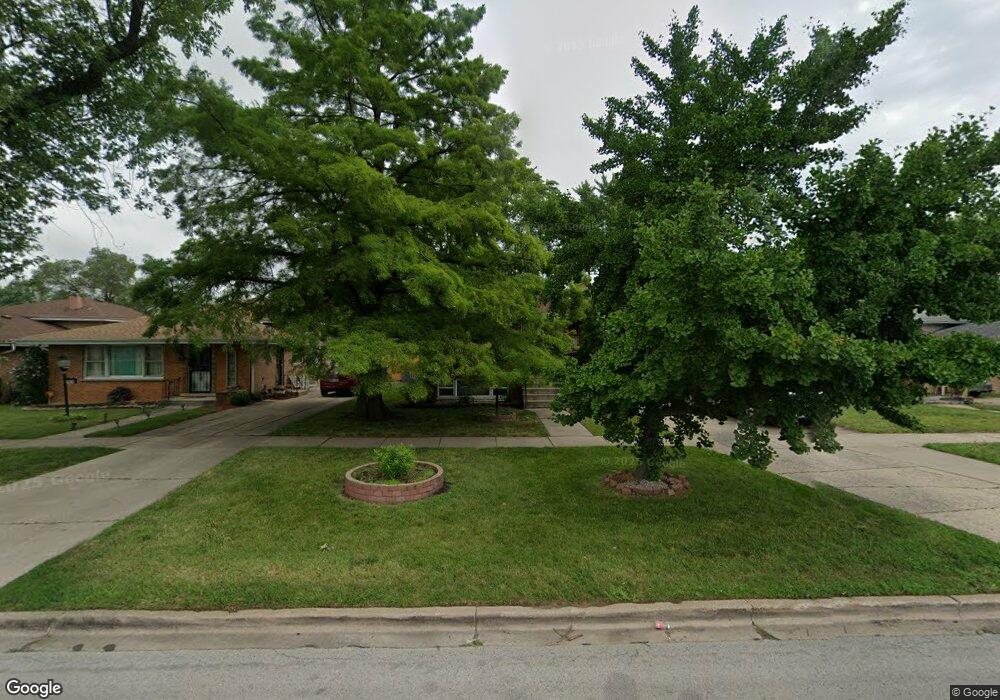
14901 Lincoln Ave Dolton, IL 60419
Estimated Value: $154,000 - $193,000
3
Beds
2
Baths
1,285
Sq Ft
$132/Sq Ft
Est. Value
About This Home
This home is located at 14901 Lincoln Ave, Dolton, IL 60419 and is currently estimated at $169,630, approximately $132 per square foot. 14901 Lincoln Ave is a home located in Cook County with nearby schools including Berger-Vandenberg Elementary School, Creative Communications Academy, and School Of Fine Arts Academy.
Ownership History
Date
Name
Owned For
Owner Type
Purchase Details
Closed on
Jun 30, 1999
Sold by
Robinson Shelia and Lyman Rita
Bought by
Williams Debbie
Current Estimated Value
Home Financials for this Owner
Home Financials are based on the most recent Mortgage that was taken out on this home.
Original Mortgage
$91,168
Outstanding Balance
$24,993
Interest Rate
7.29%
Mortgage Type
FHA
Estimated Equity
$144,637
Create a Home Valuation Report for This Property
The Home Valuation Report is an in-depth analysis detailing your home's value as well as a comparison with similar homes in the area
Home Values in the Area
Average Home Value in this Area
Purchase History
| Date | Buyer | Sale Price | Title Company |
|---|---|---|---|
| Williams Debbie | $95,000 | Chicago Title Insurance Co |
Source: Public Records
Mortgage History
| Date | Status | Borrower | Loan Amount |
|---|---|---|---|
| Open | Williams Debbie | $91,168 |
Source: Public Records
Tax History Compared to Growth
Tax History
| Year | Tax Paid | Tax Assessment Tax Assessment Total Assessment is a certain percentage of the fair market value that is determined by local assessors to be the total taxable value of land and additions on the property. | Land | Improvement |
|---|---|---|---|---|
| 2024 | $2,731 | $6,500 | $1,328 | $5,172 |
| 2023 | $2,086 | $6,500 | $1,328 | $5,172 |
| 2022 | $2,086 | $4,592 | $1,172 | $3,420 |
| 2021 | $2,015 | $4,591 | $1,171 | $3,420 |
| 2020 | $1,956 | $4,591 | $1,171 | $3,420 |
| 2019 | $2,141 | $4,650 | $1,093 | $3,557 |
| 2018 | $2,129 | $4,650 | $1,093 | $3,557 |
| 2017 | $2,035 | $4,650 | $1,093 | $3,557 |
| 2016 | $2,123 | $4,578 | $1,015 | $3,563 |
| 2015 | $2,011 | $4,578 | $1,015 | $3,563 |
| 2014 | $2,003 | $4,578 | $1,015 | $3,563 |
| 2013 | $1,996 | $4,815 | $1,015 | $3,800 |
Source: Public Records
Map
Nearby Homes
- 14737 Kimbark Ave
- 14808 Dorchester Ave
- 14728 Kenwood Ave
- 14911 Woodlawn Ave
- 14814 Woodlawn Ave
- 14761 Lincoln Ave
- 14700 Avalon Ave
- 14720 Shepard Dr
- 14634 Kenwood Ave
- 14738 Blackstone Ave
- 14637 Kenwood Ave
- 14622 Kenwood Ave
- 14708 Shepard Dr
- 14635 Woodlawn Ave
- 14737 Blackstone Ave
- 15043 Meadow Ln
- 1212 E 151st St
- 14613 Dante Ave
- 1138 E 151st St
- 15115 Meadow Ln
- 14901 Lincoln Ave
- 14903 Lincoln Ave
- 14903 Lincoln Ave
- 14879 Lincoln Ave
- 14879 Lincoln Ave
- 14907 Lincoln Ave
- 14873 Lincoln Ave
- 14911 Lincoln Ave
- 14858 Shepard Dr
- 14856 Shepard Dr
- 14862 Shepard Dr
- 14869 Lincoln Ave
- 14869 Lincoln Ave
- 14852 Shepard Dr
- 14864 Shepard Dr
- 14915 Lincoln Ave
- 14850 Shepard Dr
- 14868 Shepard Dr
- 14865 Lincoln Ave
- 14846 Shepard Dr