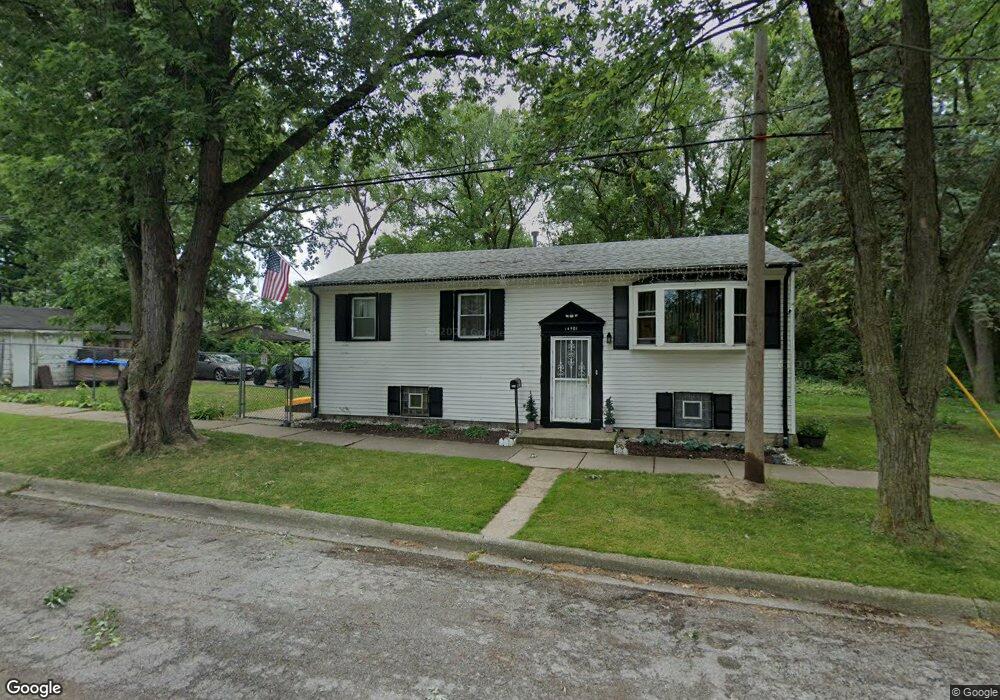
14901 Markham Dr Harvey, IL 60426
Estimated Value: $104,896 - $188,000
3
Beds
1
Bath
1,120
Sq Ft
$121/Sq Ft
Est. Value
About This Home
This home is located at 14901 Markham Dr, Harvey, IL 60426 and is currently estimated at $135,974, approximately $121 per square foot. 14901 Markham Dr is a home located in Cook County with nearby schools including Park Elementary School, Roosevelt Junior High School, and Thornton Township High School.
Ownership History
Date
Name
Owned For
Owner Type
Purchase Details
Closed on
Feb 26, 1998
Sold by
Pree Claude A and Pree Eunice
Bought by
Richmond Robert L
Current Estimated Value
Home Financials for this Owner
Home Financials are based on the most recent Mortgage that was taken out on this home.
Original Mortgage
$76,500
Outstanding Balance
$12,333
Interest Rate
7.08%
Mortgage Type
VA
Estimated Equity
$123,641
Create a Home Valuation Report for This Property
The Home Valuation Report is an in-depth analysis detailing your home's value as well as a comparison with similar homes in the area
Home Values in the Area
Average Home Value in this Area
Purchase History
| Date | Buyer | Sale Price | Title Company |
|---|---|---|---|
| Richmond Robert L | -- | Professional National Title |
Source: Public Records
Mortgage History
| Date | Status | Borrower | Loan Amount |
|---|---|---|---|
| Open | Richmond Robert L | $76,500 |
Source: Public Records
Tax History
| Year | Tax Paid | Tax Assessment Tax Assessment Total Assessment is a certain percentage of the fair market value that is determined by local assessors to be the total taxable value of land and additions on the property. | Land | Improvement |
|---|---|---|---|---|
| 2025 | $598 | $7,600 | $2,135 | $5,465 |
| 2024 | $598 | $7,600 | $2,135 | $5,465 |
| 2023 | $598 | $7,600 | $2,135 | $5,465 |
| 2022 | $598 | $4,027 | $2,135 | $1,892 |
| 2021 | $863 | $4,027 | $2,135 | $1,892 |
| 2020 | $863 | $4,027 | $2,135 | $1,892 |
| 2019 | $1,686 | $5,213 | $1,992 | $3,221 |
| 2018 | $1,615 | $5,213 | $1,992 | $3,221 |
| 2017 | $0 | $5,213 | $1,992 | $3,221 |
| 2016 | $2,194 | $5,194 | $1,850 | $3,344 |
| 2015 | $2,008 | $5,194 | $1,850 | $3,344 |
| 2014 | $1,330 | $5,194 | $1,850 | $3,344 |
| 2013 | $2,518 | $6,166 | $1,850 | $4,316 |
Source: Public Records
Map
Nearby Homes
- 565 E 149th St
- 14925 Riverside Dr
- 14921 Oakdale Ave
- 14951 Riverside Dr
- 14955 Riverside Dr
- 14727 Riverside Dr
- 14717 E Riverside Dr
- 15025 Riverside Dr
- 14916 La Salle St
- 14920 Wentworth Ave
- 14918 Wabash Ave
- 14841 La Salle St
- 14844 Dearborn St
- 14844 Wabash Ave
- 15245 State St
- 718 E 152nd St
- 15285 State St
- 14914 Edbrooke Ave
- 14924 Indiana Ave
- 14733 La Salle St
- 14905 Markham Dr
- 14845 Markham Dr
- 14900 Parkside Ave
- 523 E 149th St
- 14906 Parkside Ave
- 14906 Parkside Ave
- 14843 Markham Dr
- 527 E 149th St
- 14839 Markham Dr
- 14910 Parkside Ave
- 529 E 149th St
- 14914 Parkside Ave
- 531 E 149th St
- 14835 Markham Dr
- 535 E 149th St
- 14916 Parkside Ave
- 14831 Markham Dr
- 522 E 148th Place
- 14920 Parkside Ave
Your Personal Tour Guide
Ask me questions while you tour the home.