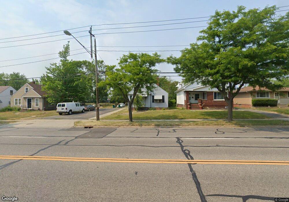
14901 Rockside Rd Maple Heights, OH 44137
Estimated Value: $118,281 - $141,000
3
Beds
2
Baths
1,092
Sq Ft
$120/Sq Ft
Est. Value
About This Home
This home is located at 14901 Rockside Rd, Maple Heights, OH 44137 and is currently estimated at $130,570, approximately $119 per square foot. 14901 Rockside Rd is a home located in Cuyahoga County with nearby schools including Abraham Lincoln Elementary School, Rockside/ J.F. Kennedy School, and Barack Obama School.
Ownership History
Date
Name
Owned For
Owner Type
Purchase Details
Closed on
Jun 30, 2010
Sold by
Romansky Charles J
Bought by
Jones Tabatha A
Current Estimated Value
Home Financials for this Owner
Home Financials are based on the most recent Mortgage that was taken out on this home.
Original Mortgage
$44,836
Outstanding Balance
$30,932
Interest Rate
5.5%
Mortgage Type
FHA
Estimated Equity
$99,638
Purchase Details
Closed on
Jun 3, 1993
Sold by
Romansky Virginia J
Bought by
Romansky Virginia J
Purchase Details
Closed on
Jan 29, 1986
Sold by
Marotta Albert A
Bought by
Harrell Max
Purchase Details
Closed on
Apr 29, 1981
Sold by
Mcjessy Joseph J and Mcjessy Carol M
Bought by
Marotta Albert A
Purchase Details
Closed on
Jan 1, 1975
Bought by
Mcjessy Joseph J and Mcjessy Carol M
Create a Home Valuation Report for This Property
The Home Valuation Report is an in-depth analysis detailing your home's value as well as a comparison with similar homes in the area
Home Values in the Area
Average Home Value in this Area
Purchase History
| Date | Buyer | Sale Price | Title Company |
|---|---|---|---|
| Jones Tabatha A | $54,900 | Equity Title Agency | |
| Romansky Virginia J | -- | -- | |
| Romansky Virginia J | $61,000 | -- | |
| Harrell Max | $52,000 | -- | |
| Marotta Albert A | $45,000 | -- | |
| Mcjessy Joseph J | -- | -- |
Source: Public Records
Mortgage History
| Date | Status | Borrower | Loan Amount |
|---|---|---|---|
| Open | Jones Tabatha A | $44,836 | |
| Closed | Jones Tabatha A | $9,333 |
Source: Public Records
Tax History
| Year | Tax Paid | Tax Assessment Tax Assessment Total Assessment is a certain percentage of the fair market value that is determined by local assessors to be the total taxable value of land and additions on the property. | Land | Improvement |
|---|---|---|---|---|
| 2024 | $2,687 | $39,340 | $7,490 | $31,850 |
| 2023 | $1,981 | $26,320 | $6,230 | $20,090 |
| 2022 | $2,012 | $26,320 | $6,230 | $20,090 |
| 2021 | $3,287 | $26,320 | $6,230 | $20,090 |
| 2020 | $2,551 | $19,950 | $4,730 | $15,230 |
| 2019 | $2,534 | $57,000 | $13,500 | $43,500 |
| 2018 | $2,387 | $19,950 | $4,730 | $15,230 |
| 2017 | $2,429 | $18,660 | $4,940 | $13,720 |
| 2016 | $2,346 | $18,660 | $4,940 | $13,720 |
| 2015 | $2,226 | $18,660 | $4,940 | $13,720 |
| 2014 | $2,226 | $19,220 | $5,080 | $14,140 |
Source: Public Records
Map
Nearby Homes
- 14708 Brunswick Ave
- 14509 Rockside Rd
- 14808 James Ave
- 14619 Tokay Ave
- 14404 Tokay Ave
- 14214 Tabor Ave
- 14320 Janice Dr
- 15803 Maplewood Ave
- 14012 Wheeler Rd
- 14203 Tabor Ave
- 15800 Northwood Ave
- 14818 Reddington Ave
- 15817 Northwood Ave
- 13804 Rockside Rd
- 16111 #A8 Maple Park Dr
- 13905 Thraves Ave
- 15305 Steinway Blvd
- 13810 Martin Dr
- 14956 Carol Dr
- 6089 Dunham Rd
- 14989 Rockside Rd
- 14821 Rockside Rd
- 15001 Rockside Rd
- 14813 Rockside Rd
- 15025 Rockside Rd
- 14809 Rockside Rd
- 15049 Rockside Rd
- 14805 Rockside Rd
- 14908 Rockside Rd
- 14900 Rockside Rd
- 14916 Rockside Rd
- 14801 Rockside Rd
- 14850 Rockside Rd
- 15096 Rockside Rd
- 14846 Rockside Rd
- 15098 Rockside Rd
- 14721 Rockside Rd
- 15098 00 Rockside Rd
- 14808 Rockside Rd
- 15100 Rockside Rd