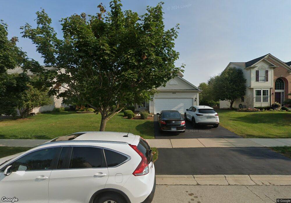
14908 Ashton Ln Lockport, IL 60441
South Homer Glen NeighborhoodEstimated Value: $435,554 - $534,000
--
Bed
--
Bath
2,356
Sq Ft
$212/Sq Ft
Est. Value
About This Home
This home is located at 14908 Ashton Ln, Lockport, IL 60441 and is currently estimated at $499,139, approximately $211 per square foot. 14908 Ashton Ln is a home located in Will County with nearby schools including William J. Butler, Hadley Middle School, and Homer Jr High School.
Ownership History
Date
Name
Owned For
Owner Type
Purchase Details
Closed on
Oct 31, 2005
Sold by
Pulte Homes
Bought by
Fiorillo James N and Fiorillo Katherine M
Current Estimated Value
Home Financials for this Owner
Home Financials are based on the most recent Mortgage that was taken out on this home.
Original Mortgage
$252,432
Outstanding Balance
$137,804
Interest Rate
5.98%
Mortgage Type
Fannie Mae Freddie Mac
Estimated Equity
$361,335
Create a Home Valuation Report for This Property
The Home Valuation Report is an in-depth analysis detailing your home's value as well as a comparison with similar homes in the area
Home Values in the Area
Average Home Value in this Area
Purchase History
| Date | Buyer | Sale Price | Title Company |
|---|---|---|---|
| Fiorillo James N | $316,000 | -- |
Source: Public Records
Mortgage History
| Date | Status | Borrower | Loan Amount |
|---|---|---|---|
| Open | Fiorillo James N | $252,432 |
Source: Public Records
Tax History Compared to Growth
Tax History
| Year | Tax Paid | Tax Assessment Tax Assessment Total Assessment is a certain percentage of the fair market value that is determined by local assessors to be the total taxable value of land and additions on the property. | Land | Improvement |
|---|---|---|---|---|
| 2024 | $11,690 | $142,232 | $24,074 | $118,158 |
| 2023 | $11,690 | $128,927 | $21,822 | $107,105 |
| 2022 | $10,708 | $120,380 | $20,375 | $100,005 |
| 2021 | $10,222 | $114,051 | $19,304 | $94,747 |
| 2020 | $10,180 | $109,855 | $18,594 | $91,261 |
| 2019 | $9,881 | $105,680 | $17,887 | $87,793 |
| 2018 | $9,610 | $101,940 | $17,682 | $84,258 |
| 2017 | $9,442 | $99,086 | $17,187 | $81,899 |
| 2016 | $9,235 | $95,782 | $16,614 | $79,168 |
| 2015 | $9,007 | $92,186 | $15,990 | $76,196 |
| 2014 | $9,007 | $90,281 | $15,660 | $74,621 |
| 2013 | $9,007 | $90,281 | $15,660 | $74,621 |
Source: Public Records
Map
Nearby Homes
- 15053 Sagebrush Ln Unit 1254
- 16663 S Windsor Ln Unit T1644
- 16860 S Ivy Ln
- 16601 S Windsor Ln Unit T1611
- 16947 S Timber Dr
- 16609 S Silo Bend Dr
- 16515 S Farmington Ln
- 15326 W Harvest Ln
- 0 W Bruce Rd
- 17355 Sprucewood Dr
- 14604 W Bruce Rd
- 17356 Sprucewood Dr
- 17358 Sprucewood Dr
- 17430 Victoria Ln
- 17362 Sprucewood Dr
- Essex Plan at Sadie Ridge
- Campbell Plan at Sadie Ridge - The Townes at Sadie
- Braeden Plan at Sadie Ridge - The Townes at Sadie
- Brighton Plan at Sadie Ridge - The Townes at Sadie
- Danbury II Plan at Sadie Ridge - The Townes at Sadie
- 14900 Ashton Ln
- 14916 Ashton Ln
- 14907 Richton Dr
- 14858 Ashton Ln
- 14901 Richton Dr
- 14917 Richton Dr
- 14907 Ashton Ln
- 14861 Richton Dr
- 14915 Ashton Ln
- 14865 Ashton Ln
- 14854 Ashton Ln
- 14921 Ashton Ln
- 16936 S Alder Dr
- 16936 Alder Dr
- 14851 Richton Dr
- 16932 Alder Dr
- 16934 Alder Dr
- 14929 Ashton Ln
- 14844 Ashton Ln
- 14849 Ashton Ln