N
Seller's Agent in 2025
Non Member
Non-member Office
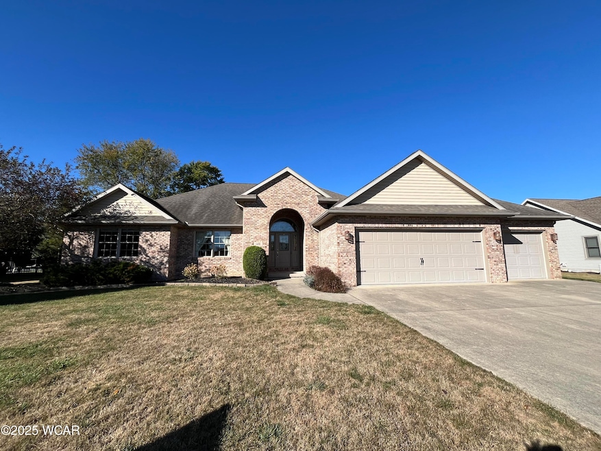
This home is located at 1491 Carolyn Dr, Delphos, OH 45833 and is currently priced at $397,500, approximately $234 per square foot. This property was built in 2006. 1491 Carolyn Dr is a home located in Allen County with nearby schools including Delphos St. John's High School and Delphos St. John's Elementary School.
Last Agent to Sell the Property
Non Member
Non-member Office Listed on: 10/21/2025
| Date | Type | Sale Price | Title Company |
|---|---|---|---|
| Warranty Deed | $397,500 | None Listed On Document | |
| Deed | -- | -- | |
| Deed | -- | -- | |
| Survivorship Deed | $232,500 | None Available | |
| Warranty Deed | $23,000 | None Available |
| Date | Event | Price | List to Sale | Price per Sq Ft |
|---|---|---|---|---|
| 10/21/2025 10/21/25 | Sold | $397,500 | -3.0% | $234 / Sq Ft |
| 10/21/2025 10/21/25 | Pending | -- | -- | -- |
| 10/21/2025 10/21/25 | For Sale | $409,900 | -- | $242 / Sq Ft |
| Year | Tax Paid | Tax Assessment Tax Assessment Total Assessment is a certain percentage of the fair market value that is determined by local assessors to be the total taxable value of land and additions on the property. | Land | Improvement |
|---|---|---|---|---|
| 2024 | $3,279 | $116,760 | $15,680 | $101,080 |
| 2023 | $2,495 | $86,490 | $11,620 | $74,870 |
| 2022 | $2,571 | $86,490 | $11,620 | $74,870 |
| 2021 | $2,582 | $86,490 | $11,620 | $74,870 |
| 2020 | $2,045 | $72,880 | $11,030 | $61,850 |
| 2019 | $2,045 | $72,880 | $11,030 | $61,850 |
| 2018 | $1,973 | $72,880 | $11,030 | $61,850 |
| 2017 | $1,873 | $66,540 | $11,030 | $55,510 |
| 2016 | $1,886 | $66,540 | $11,030 | $55,510 |
| 2015 | $1,840 | $66,540 | $11,030 | $55,510 |
| 2014 | $1,840 | $64,400 | $10,570 | $53,830 |
| 2013 | $1,844 | $64,400 | $10,570 | $53,830 |
N
Seller's Agent in 2025
Non Member
Non-member Office

Buyer's Agent in 2025
Nichole Horstman
At Home Realty
(419) 236-3458
41 in this area
83 Total Sales
Source: West Central Association of REALTORS® (OH)
MLS Number: 308606
APN: 25-19-05-08-008.000