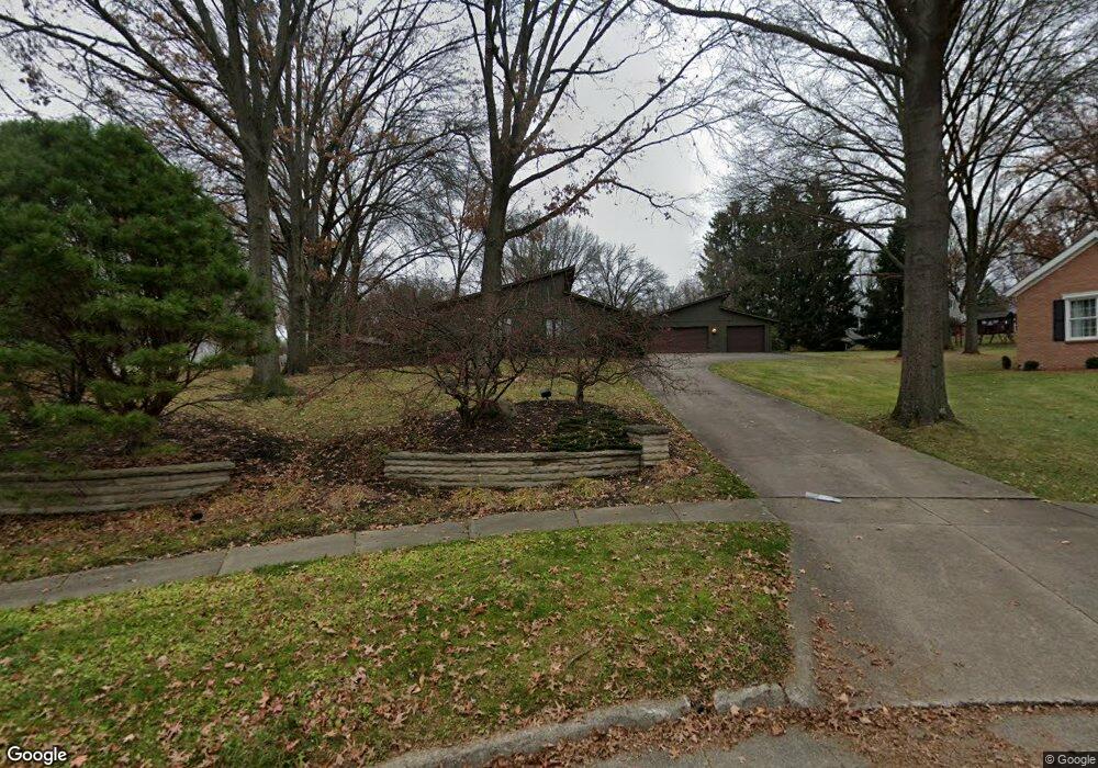
1491 Ruth Cir Wooster, OH 44691
Estimated Value: $356,000 - $436,000
3
Beds
3
Baths
2,160
Sq Ft
$178/Sq Ft
Est. Value
About This Home
This home is located at 1491 Ruth Cir, Wooster, OH 44691 and is currently estimated at $384,028, approximately $177 per square foot. 1491 Ruth Cir is a home located in Wayne County with nearby schools including Parkview Elementary School, Edgewood Middle School, and Wooster High School.
Ownership History
Date
Name
Owned For
Owner Type
Purchase Details
Closed on
May 25, 2012
Sold by
Starbaum Anne K
Bought by
Sturbaum Anne K and Abud Mendoza Eduardo
Current Estimated Value
Purchase Details
Closed on
Aug 6, 2007
Sold by
Lawrence Denton K and Lawrence Janet S
Bought by
Sturbaum Anne K
Home Financials for this Owner
Home Financials are based on the most recent Mortgage that was taken out on this home.
Original Mortgage
$168,000
Interest Rate
5.5%
Mortgage Type
Adjustable Rate Mortgage/ARM
Purchase Details
Closed on
Jan 1, 1987
Bought by
Lawrence Denton K and Lawrence Janet
Create a Home Valuation Report for This Property
The Home Valuation Report is an in-depth analysis detailing your home's value as well as a comparison with similar homes in the area
Home Values in the Area
Average Home Value in this Area
Purchase History
| Date | Buyer | Sale Price | Title Company |
|---|---|---|---|
| Sturbaum Anne K | -- | None Available | |
| Sturbaum Anne K | $210,000 | Attorney | |
| Lawrence Denton K | -- | -- |
Source: Public Records
Mortgage History
| Date | Status | Borrower | Loan Amount |
|---|---|---|---|
| Previous Owner | Sturbaum Anne K | $168,000 |
Source: Public Records
Tax History
| Year | Tax Paid | Tax Assessment Tax Assessment Total Assessment is a certain percentage of the fair market value that is determined by local assessors to be the total taxable value of land and additions on the property. | Land | Improvement |
|---|---|---|---|---|
| 2024 | $4,085 | $109,060 | $28,670 | $80,390 |
| 2023 | $4,116 | $109,060 | $28,670 | $80,390 |
| 2022 | $3,847 | $82,620 | $21,720 | $60,900 |
| 2021 | $3,968 | $82,620 | $21,720 | $60,900 |
| 2020 | $3,762 | $82,620 | $21,720 | $60,900 |
| 2019 | $3,205 | $69,190 | $22,920 | $46,270 |
| 2018 | $3,215 | $69,190 | $22,920 | $46,270 |
| 2017 | $3,196 | $69,190 | $22,920 | $46,270 |
| 2016 | $3,345 | $66,990 | $22,920 | $44,070 |
| 2015 | $3,284 | $66,990 | $22,920 | $44,070 |
| 2014 | $3,286 | $66,990 | $22,920 | $44,070 |
| 2013 | $3,359 | $67,650 | $22,770 | $44,880 |
Source: Public Records
Map
Nearby Homes
- 972 Carriage Ln
- 1047 Ashwood Dr
- 851 Park Blvd
- 869 Meadow Ln
- 835 Marilyn Dr
- 211 Oakley Rd
- 1117 Quinby Ave
- 801 & 803 Colony Ct
- 1704 Carlin Trail
- 1627 Carlin Trail
- 1643 Carlin Trail
- 1942 Fisher Dr
- 2185 Ryan Ct
- 814 N Bever St
- 2011 Burbank Rd
- 134 E Bowman St Unit 1/2
- 216 Ihrig Ave
- 317 Ihrig Ave
- 534 N Buckeye St
- 2360 Star Dr
- 1485 Ruth Cir
- 1501 Arthur Dr
- 1541 Reta Cir
- 1526 Saunders Dr
- 1512 Saunders Dr
- 1540 Saunders Dr
- 1479 Ruth Cir
- 1531 Arthur Dr
- 1471 Arthur Dr
- 1498 Saunders Dr
- 1551 Reta Cir
- 1484 Saunders Dr
- 1506 Arthur Dr
- 1524 Arthur Dr
- 1494 Arthur Dr
- 1552 Saunders Dr
- 1536 Arthur Dr
- 1565 Arthur Dr
- 1449 Arthur Dr
- 1566 Saunders Dr
Your Personal Tour Guide
Ask me questions while you tour the home.