1491 State Route 31 Oxford, NJ 07863
Estimated Value: $333,000 - $473,000
--
Bed
--
Bath
1,188
Sq Ft
$311/Sq Ft
Est. Value
About This Home
This home is located at 1491 State Route 31, Oxford, NJ 07863 and is currently estimated at $369,970, approximately $311 per square foot. 1491 State Route 31 is a home with nearby schools including White Township Consolidated Elementary School.
Ownership History
Date
Name
Owned For
Owner Type
Purchase Details
Closed on
Jan 16, 2013
Sold by
Palchanes Ernest V and Palchanes Patricia G
Bought by
Muso Darren A and Pozarycki Christopher R
Current Estimated Value
Home Financials for this Owner
Home Financials are based on the most recent Mortgage that was taken out on this home.
Original Mortgage
$234,025
Outstanding Balance
$165,580
Interest Rate
3.75%
Mortgage Type
FHA
Estimated Equity
$204,390
Create a Home Valuation Report for This Property
The Home Valuation Report is an in-depth analysis detailing your home's value as well as a comparison with similar homes in the area
Home Values in the Area
Average Home Value in this Area
Purchase History
| Date | Buyer | Sale Price | Title Company |
|---|---|---|---|
| Muso Darren A | $240,000 | None Available |
Source: Public Records
Mortgage History
| Date | Status | Borrower | Loan Amount |
|---|---|---|---|
| Open | Muso Darren A | $234,025 |
Source: Public Records
Tax History Compared to Growth
Tax History
| Year | Tax Paid | Tax Assessment Tax Assessment Total Assessment is a certain percentage of the fair market value that is determined by local assessors to be the total taxable value of land and additions on the property. | Land | Improvement |
|---|---|---|---|---|
| 2025 | $6,173 | $246,900 | $114,100 | $132,800 |
| 2024 | $5,928 | $246,900 | $114,100 | $132,800 |
| 2023 | $5,696 | $246,900 | $114,100 | $132,800 |
| 2022 | $5,696 | $246,900 | $114,100 | $132,800 |
| 2021 | $5,298 | $246,900 | $114,100 | $132,800 |
| 2020 | $5,387 | $246,900 | $114,100 | $132,800 |
| 2019 | $5,089 | $246,900 | $114,100 | $132,800 |
| 2018 | $5,089 | $246,900 | $114,100 | $132,800 |
| 2017 | $5,281 | $246,900 | $114,100 | $132,800 |
| 2016 | $5,385 | $246,900 | $114,100 | $132,800 |
| 2015 | $5,170 | $246,900 | $114,100 | $132,800 |
| 2014 | $5,128 | $246,900 | $114,100 | $132,800 |
Source: Public Records
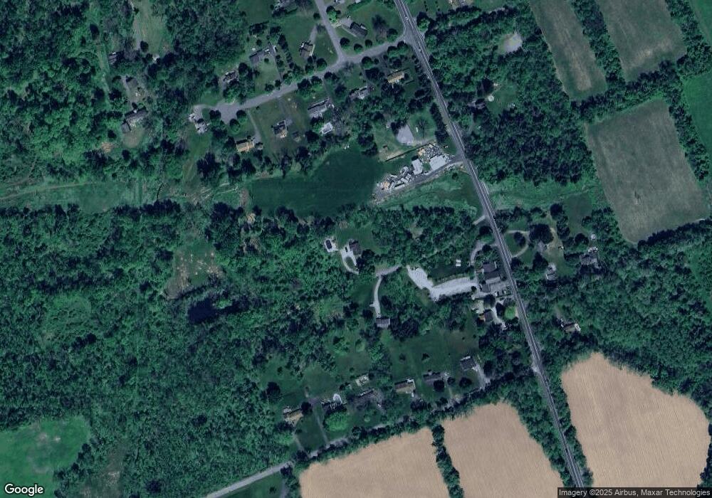
Map
Nearby Homes
- 1497 New Jersey 31
- 8 Buttzville Rd
- 7 Buttzville Ct
- 349 New Jersey 31
- 301 New Jersey 31
- 305 Route 31
- 50 Green Pond Rd
- 14 Tamarack Rd
- 11 Scranton Pkwy
- 21 Olde Forge
- 49 Henry St
- 45 Bush St
- 138 Belvidere Ave
- 77 Shippen Ridge
- 20 Belvidere Ave
- 50 Zulauf Ln
- 15 Henderson St
- 40 Washington Ave
- 9 Front St
- 11 Front St
- 1489 State Route 31
- 223 E Quarry Rd
- 1497 State Route 31
- 7 Jones Farm Ln
- 217 E Quarry Rd
- 5 Jones Farm Ln
- 9 Jones Farm Ln
- 1483 State Route 31
- 215 E Quarry Rd
- 3 Jones Farm Ln
- 219 E Quarry Rd
- 221 E Quarry Rd
- 213 E Quarry Rd
- 1 Jones Farm Ln
- 211 E Quarry Rd
- 1495 State Route 31
- 1488 State Route 31
- 11 Jones Farm Ln
- 1484 State Route 31
- 8 Jones Farm Ln