1491 State Route 505 Toledo, WA 98591
Estimated Value: $661,112 - $937,000
3
Beds
1
Bath
1,440
Sq Ft
$555/Sq Ft
Est. Value
About This Home
This home is located at 1491 State Route 505, Toledo, WA 98591 and is currently estimated at $799,056, approximately $554 per square foot. 1491 State Route 505 is a home located in Lewis County with nearby schools including Toledo Elementary School, Toledo Middle School, and Toledo High School.
Ownership History
Date
Name
Owned For
Owner Type
Purchase Details
Closed on
Dec 30, 2010
Sold by
Ray Donna Norrine
Bought by
Seroshek Scott A and Seroshek Nichole A
Current Estimated Value
Home Financials for this Owner
Home Financials are based on the most recent Mortgage that was taken out on this home.
Original Mortgage
$228,000
Outstanding Balance
$152,136
Interest Rate
4.34%
Mortgage Type
New Conventional
Estimated Equity
$646,920
Create a Home Valuation Report for This Property
The Home Valuation Report is an in-depth analysis detailing your home's value as well as a comparison with similar homes in the area
Home Values in the Area
Average Home Value in this Area
Purchase History
| Date | Buyer | Sale Price | Title Company |
|---|---|---|---|
| Seroshek Scott A | $240,000 | Stewart Title Company |
Source: Public Records
Mortgage History
| Date | Status | Borrower | Loan Amount |
|---|---|---|---|
| Open | Seroshek Scott A | $228,000 |
Source: Public Records
Tax History Compared to Growth
Tax History
| Year | Tax Paid | Tax Assessment Tax Assessment Total Assessment is a certain percentage of the fair market value that is determined by local assessors to be the total taxable value of land and additions on the property. | Land | Improvement |
|---|---|---|---|---|
| 2024 | $3,981 | $801,400 | $225,600 | $575,800 |
| 2023 | $4,636 | $850,600 | $184,300 | $666,300 |
| 2022 | $4,413 | $635,500 | $145,000 | $490,500 |
| 2021 | $4,558 | $635,500 | $145,000 | $490,500 |
| 2020 | $1,880 | $596,200 | $126,600 | $469,600 |
| 2019 | $1,823 | $305,600 | $138,200 | $167,400 |
| 2018 | $1,704 | $281,300 | $121,200 | $160,100 |
| 2017 | $2,581 | $270,100 | $121,200 | $148,900 |
| 2016 | $2,527 | $252,800 | $108,200 | $144,600 |
| 2015 | $2,511 | $245,400 | $113,900 | $131,500 |
| 2013 | $2,511 | $249,650 | $159,750 | $89,900 |
Source: Public Records
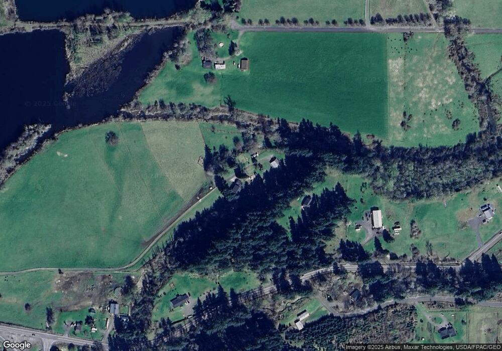
Map
Nearby Homes
- 243 12 Collins Rd
- 243 Collins Rd
- 0 State Route 505 Unit 23975666
- 0 Eadon Rd Unit NWM2371783
- 251 N 2nd St
- 0 Pine Tree Rd Unit NWM2322660
- 168 Middlecrest Dr
- 1281 Washington 505
- 237 Collins Rd
- 300 Maple St
- 621 S 2nd St
- 500 Cedar St
- 387 Collins Rd
- 0 Rakoz Rd
- 220 Plomondon Rd
- 10 Tooley Rd
- 112 Plomondon Rd
- 117 Grand Fir
- 142 Drews Prairie Rd
- 118 Grand Fir Ln
- 1491 State Route 505
- 1565 State Route 505
- 1579 State Route 505
- 175 Branch Rd
- 1541 State Route 505
- 1564 State Route 505
- 1562 State Route 505
- 177 Branch Rd
- 14 Collins Rd
- 2 Collins Rd
- 1511 State Route 505
- 107 Collins
- 154 Branch Rd
- 0 Collins Rd
- 0 Collins Rd Unit NWM2316652
- 0 Collins Rd Unit 24574947
- 0 Collins Rd Unit NWM2160529
- 0 Collins Rd Unit NWM1955943
- 125 Collins Rd
- 100 Salmon Creek Rd