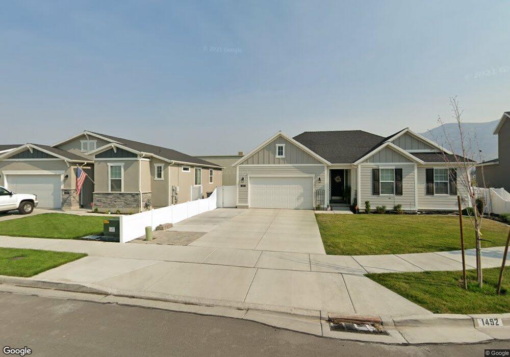
1491 W 500 N Unit 10-13 Lindon, UT 84042
--
Bed
--
Bath
2,944
Sq Ft
0.28
Acres
About This Home
This home is located at 1491 W 500 N Unit 10-13, Lindon, UT 84042. 1491 W 500 N Unit 10-13 is a home located in Utah County with nearby schools including Lindon Elementary School, Oak Canyon Junior High School, and Pleasant Grove High School.
Ownership History
Date
Name
Owned For
Owner Type
Purchase Details
Closed on
Jun 28, 2013
Sold by
Celtic Bank Corp
Bought by
Incubator Investments Llc
Purchase Details
Closed on
Jun 5, 2013
Sold by
X Press Printing Inc
Bought by
Celtic Bank Corp
Create a Home Valuation Report for This Property
The Home Valuation Report is an in-depth analysis detailing your home's value as well as a comparison with similar homes in the area
Home Values in the Area
Average Home Value in this Area
Purchase History
| Date | Buyer | Sale Price | Title Company |
|---|---|---|---|
| Incubator Investments Llc | -- | Greebrier Title Ins Age | |
| Celtic Bank Corp | $456,000 | Greenbrier Title Insurance A |
Source: Public Records
Tax History Compared to Growth
Tax History
| Year | Tax Paid | Tax Assessment Tax Assessment Total Assessment is a certain percentage of the fair market value that is determined by local assessors to be the total taxable value of land and additions on the property. | Land | Improvement |
|---|---|---|---|---|
| 2025 | $2,902 | $529,900 | $98,400 | $431,500 |
| 2024 | $2,902 | $357,200 | $0 | $0 |
| 2023 | $2,663 | $352,100 | $0 | $0 |
| 2022 | $2,297 | $293,400 | $69,800 | $223,600 |
| 2021 | $2,770 | $293,400 | $69,800 | $223,600 |
| 2020 | $2,814 | $293,400 | $69,800 | $223,600 |
| 2019 | $2,700 | $293,600 | $54,000 | $239,600 |
| 2018 | $2,005 | $205,500 | $54,000 | $151,500 |
| 2017 | $1,620 | $161,900 | $0 | $0 |
| 2016 | $1,752 | $161,900 | $0 | $0 |
| 2015 | $1,853 | $161,900 | $0 | $0 |
| 2014 | $2,003 | $173,400 | $0 | $0 |
Source: Public Records
Map
Nearby Homes
- Washington Farmhouse Plan at Anderson Farms
- 1424 Gala Ln
- 3810 W Valley Dr
- 264 N Old Farm Ln
- 1434 W Watson Ln
- 1362 W Valley Dr
- 1430 W Kelsey Way
- 611 N Briarwood Ln
- 1277 W Sweet Corn Ln
- 556 N Cornstalk Ln
- 574 N Cornstalk Ln
- 557 N Buffalo Grass Ln
- 575 N Buffalo Grass Ln
- 554 N Buffalo Grass Ln
- 556 N Buffalo Grass Ln
- 564 N Buffalo Grass Ln Unit 1250
- 558 N Buffalo Grass Ln
- 560 N Buffalo Grass Ln
- 929 W 670 S Unit 9
- 963 W 670 S Unit 20
- 1492 W Brookview Dr
- 1502 W Brookview Dr
- 1512 W Brookview Dr
- 1485 W 500 N Unit 10-13
- 1524 W Brookview Dr
- 432 N 1510 W
- 368 N Brookview Dr
- 1536 W Brookview Dr
- 357 N Brookview Dr
- 444 N 1510 W Unit 14
- 456 N 1510 W Unit 13
- 456 N 1510 W
- 364 N Brookview Dr
- 468 N Avondale Ct
- 1548 W Brookview Dr
- 1511 W Brookview Dr
- 1513 W 430 N Unit 16
- 1513 W 430 N
- 1527 W Brookview Dr
- 464 N 1510 W