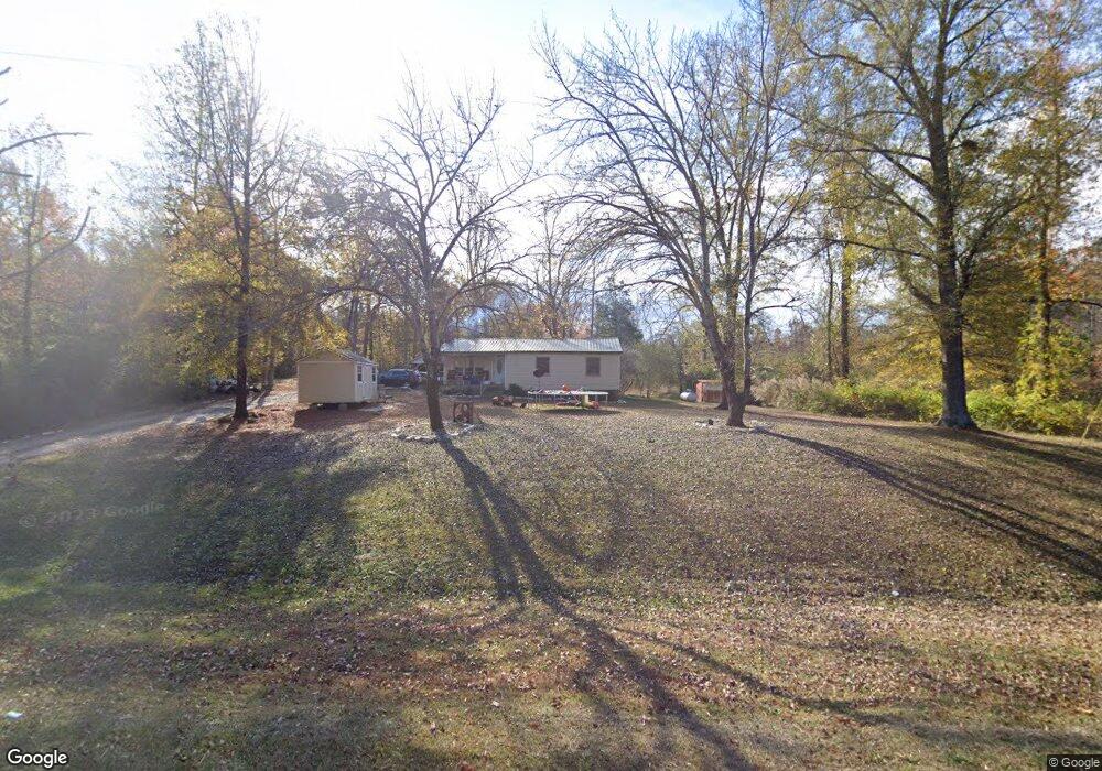
1491 Washington Hwy Union Point, GA 30669
Estimated Value: $110,000 - $218,000
4
Beds
1
Bath
1,704
Sq Ft
$100/Sq Ft
Est. Value
About This Home
This home is located at 1491 Washington Hwy, Union Point, GA 30669 and is currently estimated at $169,594, approximately $99 per square foot. 1491 Washington Hwy is a home located in Greene County with nearby schools including Greene County High School.
Ownership History
Date
Name
Owned For
Owner Type
Purchase Details
Closed on
Mar 29, 2018
Sold by
Jungsook Hong
Bought by
Kim Kyung Hwan
Current Estimated Value
Purchase Details
Closed on
Aug 25, 2007
Sold by
Kim Kyung Hwan
Bought by
Kim Kyung Hwan and Kim Hong Jungsook
Purchase Details
Closed on
Nov 15, 2005
Sold by
Yearwood Charlotte
Bought by
Kim Kyung Hwan
Home Financials for this Owner
Home Financials are based on the most recent Mortgage that was taken out on this home.
Original Mortgage
$40,000
Interest Rate
6.04%
Mortgage Type
New Conventional
Purchase Details
Closed on
Jan 1, 1954
Bought by
Trankersley W E Mrs
Create a Home Valuation Report for This Property
The Home Valuation Report is an in-depth analysis detailing your home's value as well as a comparison with similar homes in the area
Home Values in the Area
Average Home Value in this Area
Purchase History
| Date | Buyer | Sale Price | Title Company |
|---|---|---|---|
| Kim Kyung Hwan | -- | -- | |
| Kim Kyung Hwan | -- | -- | |
| Kim Kyung Hwan | -- | -- | |
| Kim Kyung Hwan | $50,000 | -- | |
| Trankersley W E Mrs | -- | -- |
Source: Public Records
Mortgage History
| Date | Status | Borrower | Loan Amount |
|---|---|---|---|
| Previous Owner | Kim Kyung Hwan | $40,000 |
Source: Public Records
Tax History Compared to Growth
Tax History
| Year | Tax Paid | Tax Assessment Tax Assessment Total Assessment is a certain percentage of the fair market value that is determined by local assessors to be the total taxable value of land and additions on the property. | Land | Improvement |
|---|---|---|---|---|
| 2024 | $1,022 | $55,944 | $19,920 | $36,024 |
| 2023 | $377 | $49,544 | $15,080 | $34,464 |
| 2022 | $617 | $35,868 | $14,480 | $21,388 |
| 2021 | $773 | $33,268 | $14,480 | $18,788 |
| 2020 | $440 | $13,680 | $8,200 | $5,480 |
| 2019 | $452 | $13,680 | $8,200 | $5,480 |
| 2018 | $314 | $13,680 | $8,200 | $5,480 |
| 2017 | $407 | $13,732 | $8,222 | $5,510 |
| 2016 | $535 | $20,032 | $8,222 | $11,810 |
| 2015 | $502 | $20,032 | $8,222 | $11,810 |
| 2014 | $497 | $19,237 | $8,222 | $11,015 |
Source: Public Records
Map
Nearby Homes
- 1010 Orear Rd
- 0 Woodland Ct Unit 1027434
- 0 Woodland Ct Unit 10543600
- 324 N Rhodes St
- 504 Crawfordville Rd
- 606 Bryan Ave
- 1860 Washington Hwy
- 202 Veazey St
- 0 Washington Hwy Unit 7276060
- 0 S Rhodes St Unit 10618488
- 1180 Moody St
- 1041 Hillcrest Dr
- 1241 Old Siloam Rd
- 0 Buffalo Lick Rd Unit 10551328
- 1201 Buffalo Lick Rd
- 0 Buffalo Lick Rd Unit 10551325
- 0 Buffalo Lick Rd Unit 10551234
- 1251 Adams Rd
- 0 Old Union Point Rd Unit 1 10557753
- 1251 Brick House Rd
- 1531 Washington Hwy
- 1610 Washington Hwy
- 2891 Temperence Bell Rd
- 1321 Washington Hwy
- 0 Hurt St Unit 20017332
- 0 Hurt St Unit 3218006
- 0 Hurt St
- 1111 Hurt St
- 1040 Hurt St
- 1030 Hurt St Unit 1151 & 1161 Old Silo
- 1030 Hurt St
- 1003 Crawfordville Rd
- 1021 Orear Rd
- 108 Hurt St
- 1018 Hurt St
- 913 Crawfordville Rd
- 911 Crawfordville Rd
- 1104 Crawfordville Rd
- 909 Crawfordville Rd
- 1020 Hurt St