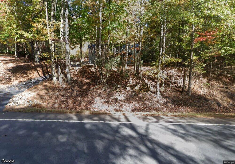
14910 U S Highway 19 Cleveland, GA 30528
Estimated Value: $309,000 - $514,000
3
Beds
2
Baths
1,300
Sq Ft
$311/Sq Ft
Est. Value
About This Home
This home is located at 14910 U S Highway 19, Cleveland, GA 30528 and is currently estimated at $404,629, approximately $311 per square foot. 14910 U S Highway 19 is a home located in Lumpkin County with nearby schools including Lumpkin County High School.
Ownership History
Date
Name
Owned For
Owner Type
Purchase Details
Closed on
Apr 3, 2007
Sold by
Not Provided
Bought by
West Juddson J
Current Estimated Value
Purchase Details
Closed on
Jan 4, 2003
Sold by
Lapointe William Jam
Bought by
Lapointe Betty Jean
Purchase Details
Closed on
Jul 1, 1996
Sold by
Wiley Jean
Bought by
Lapointe William Jam
Purchase Details
Closed on
Aug 26, 1994
Bought by
Lapointe Betty Jean
Create a Home Valuation Report for This Property
The Home Valuation Report is an in-depth analysis detailing your home's value as well as a comparison with similar homes in the area
Home Values in the Area
Average Home Value in this Area
Purchase History
| Date | Buyer | Sale Price | Title Company |
|---|---|---|---|
| West Juddson J | -- | -- | |
| West Juddson J | -- | -- | |
| West Juddson J | $204,000 | -- | |
| Lapointe Betty Jean | -- | -- | |
| Lapointe William Jam | -- | -- | |
| Lapointe Betty Jean | -- | -- | |
| Wiley Jean | -- | -- |
Source: Public Records
Tax History Compared to Growth
Tax History
| Year | Tax Paid | Tax Assessment Tax Assessment Total Assessment is a certain percentage of the fair market value that is determined by local assessors to be the total taxable value of land and additions on the property. | Land | Improvement |
|---|---|---|---|---|
| 2024 | $2,931 | $124,627 | $57,155 | $67,472 |
| 2023 | $2,630 | $111,810 | $48,642 | $63,168 |
| 2022 | $2,394 | $96,694 | $40,535 | $56,159 |
| 2021 | $2,246 | $87,747 | $40,535 | $47,212 |
| 2020 | $2,222 | $84,221 | $38,219 | $46,002 |
| 2019 | $2,242 | $84,221 | $38,219 | $46,002 |
| 2018 | $2,227 | $78,484 | $38,219 | $40,265 |
| 2017 | $2,228 | $77,034 | $38,219 | $38,815 |
| 2016 | $2,158 | $72,163 | $38,219 | $33,944 |
| 2015 | $1,914 | $72,163 | $38,219 | $33,944 |
| 2014 | $1,914 | $72,598 | $38,219 | $34,379 |
| 2013 | -- | $73,033 | $38,218 | $34,814 |
Source: Public Records
Map
Nearby Homes
- 15103 Highway 19 N
- 275 Corinth Church Rd
- 0 Corinth Church Rd Unit 413322
- 0 Corinth Church Rd Unit 10463002
- 0 Corinth Church Rd Unit 7527787
- 802 Pine Knot Dr
- 0 Highway 129 N Unit 10623203
- 147 Hester Gap Rd
- 532 Highland Trail
- 310 Highland Trail
- 457 Celie Ann Seabolt Rd
- 129 Pine Rd
- 31 Pine Rd
- 0 Harkins Rd Unit 10533789
- 0 Harkins Rd Unit 7588388
- 0 Paradise Valley Rd Unit 10468779
- 7306 Highway 129 N
- 0 Damascus Church Rd Unit 21674636
- 39 Terrace Cir
- 257 Foot Hills Dr
- 14910 Highway 19 N
- 14910 U S 19
- 14965 Highway 19 N
- 15105 Highway 19 N
- 15105 U S 19
- 15105 N 19th St
- 15105 U S Highway 19
- 50 Pine Knot Dr
- 14683 Highway 19 N
- 15157 Highway 19 N
- 269 Corinth Church Rd
- 277 Corinth Church Rd
- 279 Corinth Church Rd
- 15234 State Highway 11
- 966 Pine Knot Dr
- 0 Corinth Church Rd Unit 10219116
- 0 Corinth Church Rd Unit 8719871
- 0 Corinth Church Rd Unit 8686457
- 0 Corinth Church Rd Unit 7015099
- 0 Corinth Church Rd Unit 8717839