14911 Hayes Rd Middlefield, OH 44062
Estimated Value: $299,454 - $347,000
3
Beds
2
Baths
2,324
Sq Ft
$138/Sq Ft
Est. Value
About This Home
This home is located at 14911 Hayes Rd, Middlefield, OH 44062 and is currently estimated at $321,614, approximately $138 per square foot. 14911 Hayes Rd is a home located in Geauga County with nearby schools including Jordak Elementary School, Cardinal Middle School, and Cardinal High School.
Ownership History
Date
Name
Owned For
Owner Type
Purchase Details
Closed on
May 25, 2000
Sold by
Allan Tarnowski
Bought by
Ludlow Howard L and Ludlow Danette J
Current Estimated Value
Home Financials for this Owner
Home Financials are based on the most recent Mortgage that was taken out on this home.
Original Mortgage
$154,724
Interest Rate
8.13%
Mortgage Type
FHA
Purchase Details
Closed on
Feb 6, 1997
Sold by
Driscoll Richard D and Driscoll Barbara J
Bought by
Driscoll Richard D and Driscoll Barbara J
Purchase Details
Closed on
Jan 1, 1990
Bought by
Driscoll Richard D
Create a Home Valuation Report for This Property
The Home Valuation Report is an in-depth analysis detailing your home's value as well as a comparison with similar homes in the area
Home Values in the Area
Average Home Value in this Area
Purchase History
| Date | Buyer | Sale Price | Title Company |
|---|---|---|---|
| Ludlow Howard L | $156,000 | Lawyers Title Ins Corp | |
| Driscoll Richard D | -- | -- | |
| Driscoll Richard D | -- | -- |
Source: Public Records
Mortgage History
| Date | Status | Borrower | Loan Amount |
|---|---|---|---|
| Previous Owner | Ludlow Howard L | $154,724 |
Source: Public Records
Tax History Compared to Growth
Tax History
| Year | Tax Paid | Tax Assessment Tax Assessment Total Assessment is a certain percentage of the fair market value that is determined by local assessors to be the total taxable value of land and additions on the property. | Land | Improvement |
|---|---|---|---|---|
| 2024 | $3,332 | $79,280 | $8,330 | $70,950 |
| 2023 | $3,332 | $79,280 | $8,330 | $70,950 |
| 2022 | $2,812 | $55,940 | $6,970 | $48,970 |
| 2021 | $2,804 | $55,940 | $6,970 | $48,970 |
| 2020 | $2,887 | $55,940 | $6,970 | $48,970 |
| 2019 | $268 | $50,300 | $6,970 | $43,330 |
| 2018 | $2,808 | $50,300 | $6,970 | $43,330 |
| 2017 | $2,683 | $50,300 | $6,970 | $43,330 |
| 2016 | $2,274 | $48,900 | $6,970 | $41,930 |
| 2015 | $2,048 | $48,900 | $6,970 | $41,930 |
| 2014 | $2,048 | $48,900 | $6,970 | $41,930 |
| 2013 | $2,029 | $48,900 | $6,970 | $41,930 |
Source: Public Records
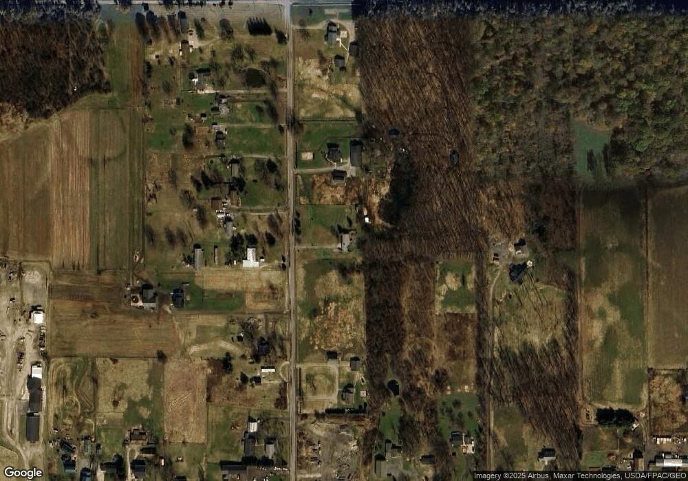
Map
Nearby Homes
- 8070 Parkman Mesopotamia Rd
- 16298 Weathervane Dr
- 14706 Steeplechase Dr
- 15791 Madison Rd
- 16510 Bundysburg Rd
- 16310 Madison Rd
- 15660 Georgia Rd
- 16765 Old State Rd
- 15142 Sawgrass Ln
- 13105 Madison Rd
- 17050 Nash Rd
- 0 Fletcher Rd
- 16990 Nash Rd
- 17808 Nash Rd
- 14607 Erwin Dr
- 16270 Mayfield Rd
- 12234 Madison Rd
- 13137 Old State Rd
- Parcel C Nash Rd
- 0 Nash Rd Unit 5142384
- 14899 Hayes Rd
- 14944 Hayes Rd
- 14970 Hayes Rd
- 14934 Hayes Rd
- 14894 Hayes Rd
- 14924 Hayes Rd
- 14980 Hayes Rd
- 14989 Hayes Rd
- 14948 Hayes Rd
- 14884 Hayes Rd
- 14874 Hayes Rd
- 17470 Kinsman Rd
- 14845 Hayes Rd
- 17418 Kinsman Rd
- 15020 Hayes Rd
- 17456 Kinsman Rd
- 17422 Kinsman Rd
- 17392 Kinsman Rd
- 14854 Hayes Rd
- 17364 Kinsman Rd