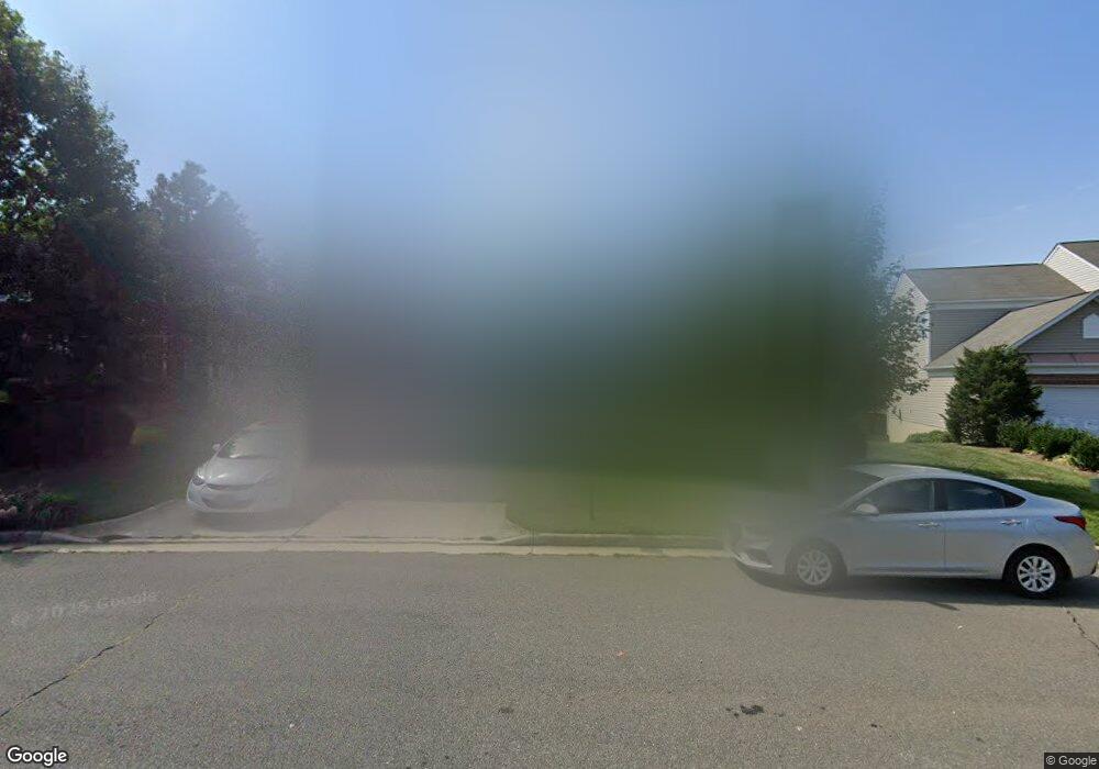
14914 Fruit Tree Ct Woodbridge, VA 22193
Powells Creek NeighborhoodEstimated Value: $738,000 - $794,000
4
Beds
4
Baths
2,547
Sq Ft
$299/Sq Ft
Est. Value
About This Home
This home is located at 14914 Fruit Tree Ct, Woodbridge, VA 22193 and is currently estimated at $762,104, approximately $299 per square foot. 14914 Fruit Tree Ct is a home located in Prince William County with nearby schools including Ashland Elementary School, Charles J. Colgan Senior High School, and Louise A. Benton Middle School.
Ownership History
Date
Name
Owned For
Owner Type
Purchase Details
Closed on
May 20, 2002
Sold by
Pulte Home Corp
Bought by
Dugan Christopher D
Current Estimated Value
Home Financials for this Owner
Home Financials are based on the most recent Mortgage that was taken out on this home.
Original Mortgage
$295,155
Outstanding Balance
$125,334
Interest Rate
7.01%
Mortgage Type
New Conventional
Estimated Equity
$636,770
Create a Home Valuation Report for This Property
The Home Valuation Report is an in-depth analysis detailing your home's value as well as a comparison with similar homes in the area
Home Values in the Area
Average Home Value in this Area
Purchase History
| Date | Buyer | Sale Price | Title Company |
|---|---|---|---|
| Dugan Christopher D | $310,690 | -- |
Source: Public Records
Mortgage History
| Date | Status | Borrower | Loan Amount |
|---|---|---|---|
| Open | Dugan Christopher D | $295,155 |
Source: Public Records
Tax History Compared to Growth
Tax History
| Year | Tax Paid | Tax Assessment Tax Assessment Total Assessment is a certain percentage of the fair market value that is determined by local assessors to be the total taxable value of land and additions on the property. | Land | Improvement |
|---|---|---|---|---|
| 2025 | $6,549 | $722,700 | $228,400 | $494,300 |
| 2024 | $6,549 | $658,500 | $207,700 | $450,800 |
| 2023 | $6,740 | $647,800 | $203,600 | $444,200 |
| 2022 | $6,921 | $614,600 | $192,100 | $422,500 |
| 2021 | $6,352 | $521,300 | $162,900 | $358,400 |
| 2020 | $7,773 | $501,500 | $156,700 | $344,800 |
| 2019 | $7,587 | $489,500 | $152,100 | $337,400 |
| 2018 | $5,692 | $471,400 | $146,300 | $325,100 |
| 2017 | $5,494 | $446,200 | $138,100 | $308,100 |
| 2016 | $5,402 | $442,900 | $136,800 | $306,100 |
| 2015 | $5,253 | $444,600 | $136,800 | $307,800 |
| 2014 | $5,253 | $421,300 | $129,000 | $292,300 |
Source: Public Records
Map
Nearby Homes
- 6131 Lost Colony Dr
- 14612 Bridle Creek Rd
- 5850 Anthony Dr
- 14791 Conway Dr
- 6215 Haw Branch Ct
- 6031 Gholson Bridge Ct
- 14933 Spriggs Tree Ln
- 5554 Barnes Ln
- 15158 Addison Ln
- 5710 Sailstone Ln
- 6757 John Mallard Dr
- 14368 Springbrook Ct
- 14218 Roland Ct
- 5337 Box Turtle Ct
- 15111 Snapper Ct
- 15060 Galapagos Place
- 15309 Colonel Tansill Ct
- 5242 Sudberry Ln
- 15045 Galapagos Place
- 5611 Roundtree Dr
- 14918 Fruit Tree Ct
- 14910 Fruit Tree Ct
- 14903 Honey Locust Ct
- 14922 Fruit Tree Ct
- 14907 Honey Locust Ct
- 14917 Honey Locust Ct
- 14921 Honey Locust Ct
- 14915 Fruit Tree Ct
- 14926 Fruit Tree Ct
- 14911 Fruit Tree Ct
- 14925 Honey Locust Ct
- 5960 Moonbeam Dr
- 14930 Fruit Tree Ct
- 6101 Spindle Tree Ct
- 6096 Spindle Tree Ct
- 14929 Honey Locust Ct
- 14900 Honey Locust Ct
- 14908 Honey Locust Ct
- 14904 Honey Locust Ct
- 14920 Honey Locust Ct