14918 State Route 49 Fort Recovery, OH 45846
Estimated Value: $338,000 - $717,217
3
Beds
4
Baths
2,454
Sq Ft
$204/Sq Ft
Est. Value
About This Home
This home is located at 14918 State Route 49, Fort Recovery, OH 45846 and is currently estimated at $501,739, approximately $204 per square foot. 14918 State Route 49 is a home located in Darke County with nearby schools including Fort Recovery Elementary School, Fort Recovery Middle School, and Fort Recovery High School.
Ownership History
Date
Name
Owned For
Owner Type
Purchase Details
Closed on
Mar 5, 2012
Sold by
Schmitz Douglas J and Schmitz Victoria M
Bought by
Schmitz Douglas J and Schmitz Victoria M
Current Estimated Value
Purchase Details
Closed on
Oct 3, 1994
Sold by
Eichenauer Farms Inc
Bought by
Schmitz Douglas J and Schmitz Victoria M
Home Financials for this Owner
Home Financials are based on the most recent Mortgage that was taken out on this home.
Original Mortgage
$197,000
Interest Rate
8.6%
Mortgage Type
New Conventional
Create a Home Valuation Report for This Property
The Home Valuation Report is an in-depth analysis detailing your home's value as well as a comparison with similar homes in the area
Home Values in the Area
Average Home Value in this Area
Purchase History
| Date | Buyer | Sale Price | Title Company |
|---|---|---|---|
| Schmitz Douglas J | -- | Attorney | |
| Schmitz Douglas J | -- | None Available | |
| Schmitz Douglas J | $102,000 | -- |
Source: Public Records
Mortgage History
| Date | Status | Borrower | Loan Amount |
|---|---|---|---|
| Closed | Schmitz Douglas J | $197,000 |
Source: Public Records
Tax History Compared to Growth
Tax History
| Year | Tax Paid | Tax Assessment Tax Assessment Total Assessment is a certain percentage of the fair market value that is determined by local assessors to be the total taxable value of land and additions on the property. | Land | Improvement |
|---|---|---|---|---|
| 2024 | $5,171 | $205,220 | $21,690 | $183,530 |
| 2023 | $5,210 | $205,220 | $21,690 | $183,530 |
| 2022 | $4,834 | $179,780 | $19,110 | $160,670 |
| 2021 | $4,858 | $179,780 | $19,110 | $160,670 |
| 2020 | $4,747 | $175,280 | $19,110 | $156,170 |
| 2019 | $3,975 | $144,920 | $19,990 | $124,930 |
| 2018 | $4,198 | $144,920 | $19,990 | $124,930 |
| 2017 | $4,041 | $144,920 | $19,990 | $124,930 |
| 2016 | $3,916 | $137,660 | $15,360 | $122,300 |
| 2015 | $3,916 | $137,660 | $15,360 | $122,300 |
| 2014 | $3,987 | $137,660 | $15,360 | $122,300 |
| 2013 | $4,056 | $137,380 | $15,080 | $122,300 |
Source: Public Records
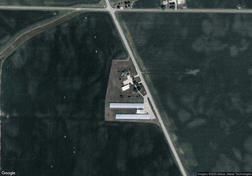
Map
Nearby Homes
- 201 W Wiggs St
- 304 S Wayne St
- 4475 Ohio 705
- 3709 Rossburg-Lightsville Rd
- 4543 Lange Rd
- 0 Ohio 118
- 1291 State Route 219
- 3052 State Route 47
- 0 County Road 400 N
- 2729 S 300 E
- 21 E Star Rd
- 1200 N Jackson Pike
- 509 Indiana 28
- 0 W Deerfield Rd Unit 23016117
- 0 W Deerfield Rd Unit 837795
- 0 W Deerfield Rd
- 45 Cassella Montezuma Rd
- 63 Cassella-Montezuma Rd
- 811 N Columbia St
- 811 N Columbia St