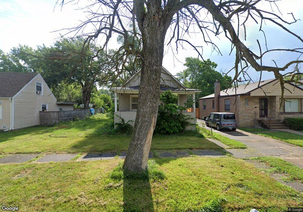
14919 Marshfield Ave Harvey, IL 60426
Estimated Value: $209,000
Studio
--
Bath
--
Sq Ft
31,363
Sq Ft
About This Home
This home is located at 14919 Marshfield Ave, Harvey, IL 60426 and is currently estimated at $209,000. 14919 Marshfield Ave is a home located in Cook County with nearby schools including Thornton Township High School.
Ownership History
Date
Name
Owned For
Owner Type
Purchase Details
Closed on
Sep 26, 2002
Sold by
Aames Capital Corp
Bought by
Chicago Title Land Trust Company and Trust #1110845
Current Estimated Value
Purchase Details
Closed on
Feb 25, 2002
Sold by
Harris Robert R
Bought by
Aames Capital Corp
Purchase Details
Closed on
Jan 26, 1994
Sold by
Ford Consumer Finance Company Inc
Bought by
Harris Robert R
Home Financials for this Owner
Home Financials are based on the most recent Mortgage that was taken out on this home.
Original Mortgage
$19,576
Interest Rate
7.31%
Create a Home Valuation Report for This Property
The Home Valuation Report is an in-depth analysis detailing your home's value as well as a comparison with similar homes in the area
Home Values in the Area
Average Home Value in this Area
Purchase History
| Date | Buyer | Sale Price | Title Company |
|---|---|---|---|
| Chicago Title Land Trust Company | $19,000 | Premier Title | |
| Aames Capital Corp | -- | -- | |
| Harris Robert R | $12,666 | -- |
Source: Public Records
Mortgage History
| Date | Status | Borrower | Loan Amount |
|---|---|---|---|
| Previous Owner | Harris Robert R | $19,576 |
Source: Public Records
Tax History
| Year | Tax Paid | Tax Assessment Tax Assessment Total Assessment is a certain percentage of the fair market value that is determined by local assessors to be the total taxable value of land and additions on the property. | Land | Improvement |
|---|---|---|---|---|
| 2025 | $760 | $1,071 | $859 | $212 |
| 2024 | $760 | $1,071 | $859 | $212 |
| 2023 | $860 | $1,071 | $859 | $212 |
| 2022 | $860 | $993 | $781 | $212 |
| 2021 | $841 | $993 | $781 | $212 |
| 2020 | $816 | $993 | $781 | $212 |
| 2019 | $742 | $915 | $703 | $212 |
| 2018 | $718 | $915 | $703 | $212 |
| 2017 | $707 | $915 | $703 | $212 |
| 2016 | $605 | $837 | $625 | $212 |
| 2015 | $582 | $837 | $625 | $212 |
| 2014 | $579 | $837 | $625 | $212 |
| 2013 | $533 | $837 | $625 | $212 |
Source: Public Records
Map
Nearby Homes
- 14900 Vine Ave
- 15032 Marshfield Ave
- 14807 Paulina St
- 15033 Paulina St
- 14801 Paulina St
- 15015 Wood St
- 14910 S Wood St
- 36 W 151st St
- 36 E 151st St
- 15125 Marshfield Ave
- 70 E 150th St
- 15128 Marshfield Ave
- 15117 Vine Ave
- 110 W 150th St
- 14735 Myrtle Ave
- 15213 Marshfield Ave
- 93 E 151st St
- 15133 Honore Ave
- 14806 Lincoln Ave
- 14617 Vine Ave
- 14919 Marshfield Ave
- 14921 Marshfield Ave
- 14921 Marshfield Ave
- 14915 Marshfield Ave
- 14915 Marshfield Ave
- 14931 Marshfield Ave
- 14909 Marshfield Ave
- 14918 Ashland Ave
- 14920 Ashland Ave
- 14914 Ashland Ave
- 14933 Marshfield Ave
- 14918 S Ashland Ave
- 14922 Ashland Ave
- 14912 Ashland Ave
- 14920 S Ashland Ave
- 14935 Marshfield Ave
- 14918 Marshfield Ave
- 14924 Ashland Ave
- 14905 Marshfield Ave
- 14916 Marshfield Ave
Your Personal Tour Guide
Ask me questions while you tour the home.