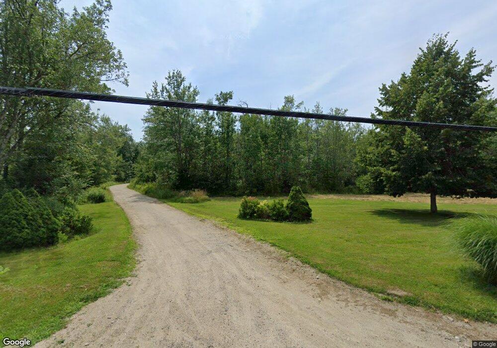
1492 Coastal Rd Brooksville, ME 04617
Estimated Value: $404,749 - $519,000
--
Bed
--
Bath
--
Sq Ft
9.7
Acres
About This Home
This home is located at 1492 Coastal Rd, Brooksville, ME 04617 and is currently estimated at $454,687. 1492 Coastal Rd is a home with nearby schools including Brooksville Elementary School.
Create a Home Valuation Report for This Property
The Home Valuation Report is an in-depth analysis detailing your home's value as well as a comparison with similar homes in the area
Home Values in the Area
Average Home Value in this Area
Tax History Compared to Growth
Tax History
| Year | Tax Paid | Tax Assessment Tax Assessment Total Assessment is a certain percentage of the fair market value that is determined by local assessors to be the total taxable value of land and additions on the property. | Land | Improvement |
|---|---|---|---|---|
| 2024 | $2,242 | $415,200 | $120,800 | $294,400 |
| 2023 | $2,078 | $319,700 | $93,000 | $226,700 |
| 2022 | $1,963 | $287,800 | $83,700 | $204,100 |
| 2021 | $1,928 | $287,800 | $83,700 | $204,100 |
| 2020 | $2,012 | $287,800 | $83,700 | $204,100 |
| 2019 | $681 | $287,800 | $83,700 | $204,100 |
| 2018 | $0 | $287,800 | $83,700 | $204,100 |
| 2017 | $1,609 | $287,800 | $83,700 | $204,100 |
| 2016 | $1,609 | $287,800 | $83,700 | $204,100 |
| 2015 | $1,604 | $286,900 | $83,700 | $203,200 |
| 2013 | $1,530 | $318,800 | $93,000 | $225,800 |
Source: Public Records
Map
Nearby Homes
- M15 L23 Varnum Rd
- 118 Wescott Battery
- 37 Water St
- 10 Green St
- M17 L15 Perkins St
- M17 L15 Battle Ave
- 79 Perkins St
- 26 Tidal Creek Rd
- 111 Franks Flat Rd
- 565 Bagaduce Rd
- Map4 Lot26 Graytown Rd
- 2 Camp Stream Point Ln
- 581 the Shore Rd
- 0 Route 175 Unit 1622156
- 0 Kingdom Rd
- 00 Dunbar
- 113 Wardwell Point Rd
- 21 Harborside Rd
- 435 Parcel 4 Herrick Rd
- 144 Bagaduce Rd