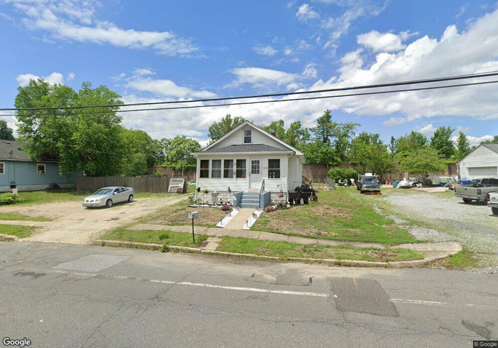
1492 Crown Point Rd West Deptford, NJ 08093
West Deptford Township NeighborhoodEstimated Value: $198,940 - $282,000
--
Bed
--
Bath
960
Sq Ft
$250/Sq Ft
Est. Value
About This Home
This home is located at 1492 Crown Point Rd, West Deptford, NJ 08093 and is currently estimated at $240,235, approximately $250 per square foot. 1492 Crown Point Rd is a home located in Gloucester County with nearby schools including Oakview Elementary School, Red Bank Elementary School, and Green-Fields Elementary School.
Ownership History
Date
Name
Owned For
Owner Type
Purchase Details
Closed on
Mar 27, 1997
Sold by
Crossen Lawrence B
Bought by
Duer Joseph J and Duer Donna A
Current Estimated Value
Home Financials for this Owner
Home Financials are based on the most recent Mortgage that was taken out on this home.
Original Mortgage
$45,500
Outstanding Balance
$5,683
Interest Rate
7.5%
Estimated Equity
$234,552
Create a Home Valuation Report for This Property
The Home Valuation Report is an in-depth analysis detailing your home's value as well as a comparison with similar homes in the area
Home Values in the Area
Average Home Value in this Area
Purchase History
| Date | Buyer | Sale Price | Title Company |
|---|---|---|---|
| Duer Joseph J | $65,000 | -- |
Source: Public Records
Mortgage History
| Date | Status | Borrower | Loan Amount |
|---|---|---|---|
| Open | Duer Joseph J | $45,500 |
Source: Public Records
Tax History Compared to Growth
Tax History
| Year | Tax Paid | Tax Assessment Tax Assessment Total Assessment is a certain percentage of the fair market value that is determined by local assessors to be the total taxable value of land and additions on the property. | Land | Improvement |
|---|---|---|---|---|
| 2025 | $4,424 | $126,700 | $36,700 | $90,000 |
| 2024 | $4,367 | $126,700 | $36,700 | $90,000 |
| 2023 | $4,367 | $126,700 | $36,700 | $90,000 |
| 2022 | $4,347 | $126,700 | $36,700 | $90,000 |
| 2021 | $4,332 | $126,700 | $36,700 | $90,000 |
| 2020 | $4,322 | $126,700 | $36,700 | $90,000 |
| 2019 | $4,201 | $126,700 | $36,700 | $90,000 |
| 2018 | $4,087 | $126,700 | $36,700 | $90,000 |
| 2017 | $3,992 | $126,700 | $36,700 | $90,000 |
| 2016 | $3,881 | $126,700 | $36,700 | $90,000 |
| 2015 | $3,843 | $131,700 | $41,700 | $90,000 |
| 2014 | $3,652 | $131,700 | $41,700 | $90,000 |
Source: Public Records
Map
Nearby Homes
- 1009 Hessian Ave
- 1448 Victory Ave
- 1156 Hessian Ave
- 1372 Riley Ave
- 1346 Verga Ave
- 321 May Ave
- 1174 Harker Ave
- 210 Lawnton Ave
- 541 Elberne Ave
- 1676 Miller Ave
- 193 Dubois Ave
- 2 Victorian Way
- 3 Victorian Way
- 7 Victorian Way
- 120 Progress Ave
- 131 Watkins Ave
- 121 Crescent Ave
- 0 S Jefferson Ave Unit NJGL2053472
- 1113 Hessian Ave
- 176 Columbia Ave
- 1498 Crown Point Rd
- 1482 Crown Point Rd
- 1504 Crown Point Rd
- 1491 Crown Point Rd
- 1476 Crown Point Rd
- 1485 Crown Point Rd
- 1470 Crown Point Rd
- 1516 Crown Point Rd
- 1465 Crown Point Rd
- 1458 Crown Point Rd
- 1454 Crown Point Rd
- 1424 Woodlane Dr
- 1450 Crown Point Rd
- 1452 Franklin Ave
- 1466 Franklin Ave
- 1422 Woodlane Dr
- 1458 Franklin Ave
- 1454 Franklin Ave
- 1411 Woodlane Dr
- 1086 Hessian Ave