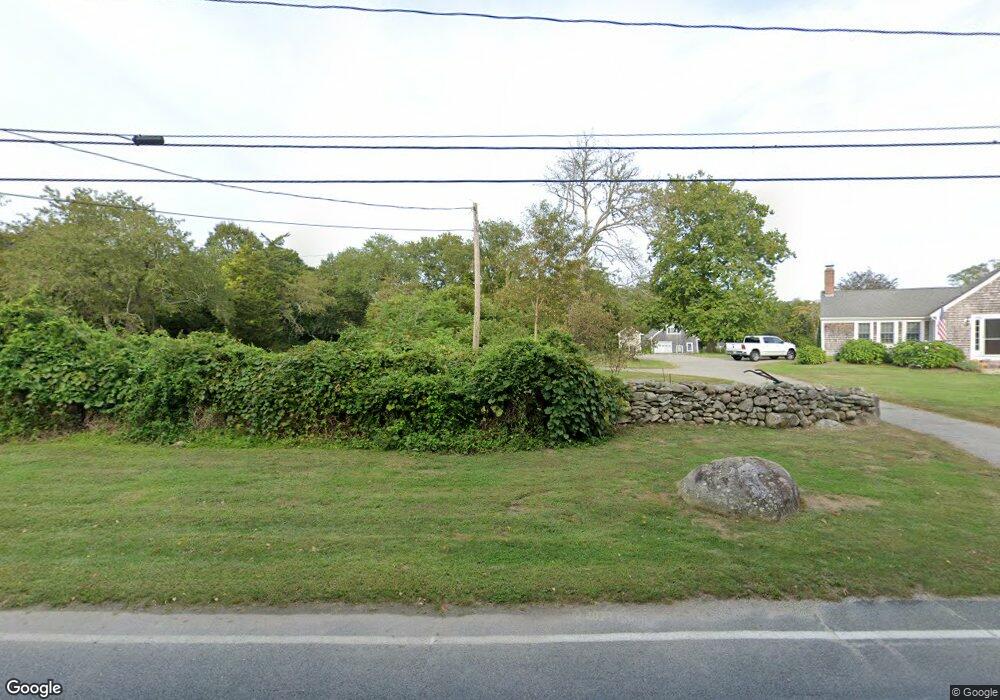
1492 Main Rd Westport, MA 02790
Westport Point NeighborhoodEstimated Value: $881,000 - $1,010,000
3
Beds
--
Bath
1,820
Sq Ft
$527/Sq Ft
Est. Value
About This Home
This home is located at 1492 Main Rd, Westport, MA 02790 and is currently estimated at $958,447, approximately $526 per square foot. 1492 Main Rd is a home located in Bristol County with nearby schools including Alice A. Macomber Primary School, Westport Elementary School, and Westport Middle-High School.
Create a Home Valuation Report for This Property
The Home Valuation Report is an in-depth analysis detailing your home's value as well as a comparison with similar homes in the area
Home Values in the Area
Average Home Value in this Area
Tax History Compared to Growth
Tax History
| Year | Tax Paid | Tax Assessment Tax Assessment Total Assessment is a certain percentage of the fair market value that is determined by local assessors to be the total taxable value of land and additions on the property. | Land | Improvement |
|---|---|---|---|---|
| 2025 | $6,060 | $813,400 | $559,500 | $253,900 |
| 2024 | $5,945 | $769,100 | $520,500 | $248,600 |
| 2023 | $4,214 | $516,400 | $270,500 | $245,900 |
| 2022 | $4,067 | $479,600 | $270,500 | $209,100 |
| 2021 | $3,934 | $456,400 | $247,400 | $209,000 |
| 2020 | $3,769 | $447,100 | $238,100 | $209,000 |
| 2019 | $3,659 | $442,400 | $238,100 | $204,300 |
| 2018 | $3,466 | $424,200 | $237,700 | $186,500 |
| 2017 | $3,549 | $445,300 | $256,500 | $188,800 |
| 2016 | $3,628 | $458,700 | $277,700 | $181,000 |
| 2015 | $3,396 | $428,200 | $259,000 | $169,200 |
Source: Public Records
Map
Nearby Homes
- 1580 Main Rd
- 1346 Main Rd Unit B
- 1749 Main Rd
- 1702J Drift Rd
- 1702 Drift Rd
- 1881 Main Rd
- 99 Sylvia Ln
- 225 Hixbridge Rd
- 920 Drift Rd
- 101 Adamsville Rd
- 17 Quail Trail
- 19 Seabury Ln
- 837 Main Rd
- 245 John Dyer Rd
- 8 Village Way
- 7 Village Way
- 255 John Dyer Rd
- 15 Village Way
- 116 Amy Hart Path
- 189 Brayton Point Rd