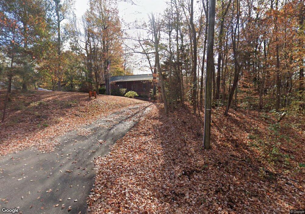
1492 N Independence Dr Montross, VA 22520
Estimated Value: $334,000 - $415,000
3
Beds
2
Baths
1,884
Sq Ft
$201/Sq Ft
Est. Value
About This Home
This home is located at 1492 N Independence Dr, Montross, VA 22520 and is currently estimated at $378,391, approximately $200 per square foot. 1492 N Independence Dr is a home located in Westmoreland County with nearby schools including Montross Middle School and Westmoreland High School.
Ownership History
Date
Name
Owned For
Owner Type
Purchase Details
Closed on
Jan 23, 2008
Sold by
Doyle Michael J
Bought by
Banker Jr Robert J
Current Estimated Value
Home Financials for this Owner
Home Financials are based on the most recent Mortgage that was taken out on this home.
Original Mortgage
$150,000
Outstanding Balance
$94,732
Interest Rate
6.17%
Mortgage Type
New Conventional
Estimated Equity
$283,659
Create a Home Valuation Report for This Property
The Home Valuation Report is an in-depth analysis detailing your home's value as well as a comparison with similar homes in the area
Home Values in the Area
Average Home Value in this Area
Purchase History
| Date | Buyer | Sale Price | Title Company |
|---|---|---|---|
| Banker Jr Robert J | $270,000 | -- |
Source: Public Records
Mortgage History
| Date | Status | Borrower | Loan Amount |
|---|---|---|---|
| Open | Banker Jr Robert J | $150,000 |
Source: Public Records
Tax History Compared to Growth
Tax History
| Year | Tax Paid | Tax Assessment Tax Assessment Total Assessment is a certain percentage of the fair market value that is determined by local assessors to be the total taxable value of land and additions on the property. | Land | Improvement |
|---|---|---|---|---|
| 2024 | $2,132 | $313,500 | $26,800 | $286,700 |
| 2023 | $1,944 | $313,500 | $26,800 | $286,700 |
| 2022 | $1,944 | $313,500 | $26,800 | $286,700 |
| 2021 | $1,848 | $243,200 | $26,800 | $216,400 |
| 2020 | $1,848 | $243,200 | $26,800 | $216,400 |
| 2019 | $1,581 | $243,200 | $26,800 | $216,400 |
| 2018 | $1,484 | $243,200 | $26,800 | $216,400 |
| 2017 | -- | $243,200 | $26,800 | $216,400 |
| 2016 | $1,459 | $243,200 | $26,800 | $216,400 |
| 2015 | -- | $250,000 | $26,800 | $223,200 |
| 2014 | -- | $0 | $0 | $0 |
| 2013 | -- | $249,000 | $26,800 | $222,200 |
Source: Public Records
Map
Nearby Homes
- LOT #95 Castle Dr
- Lot 11 N Independence Dr
- Lot 92 N Independence Dr
- Lot 153 N Independence Dr
- Lot # 95 N Independence Dr
- LOTS 22-11 C, D, E, N Independence Dr
- LOT 106 and 107 N Independence Dr
- Lot 27 Queens Way
- LOT #28 Queens Way
- Lot 23 Queens Way
- 1753 N Independence Dr
- 34 Kings Ct
- Lot 40 Kings Ct
- LOT 110 Bishop Dr
- LOT #108 Bishop Dr
- Lot# 140 Bishop Dr
- 0 Kings Ct Unit VAWE2007436
- 0 W Lee Way Unit VAWE2008908
- 119 Bald Eagle Dr
- 151 Bald Eagle Dr
- 0 N Independence Dr Unit WE9951535
- 1524 N Independence Dr
- 33 Castle Dr
- 20 Castle Dr
- 1521 N Independence Dr
- 81 Castle Dr
- 1487 N Independence Dr
- 1422 N Independence Dr
- 1556 N Independence Dr
- 1556 N Independce Dr
- Castle Dr
- 95 Castle Dr
- 86 Castle Dr
- 92 Castle Dr
- 1441 N Independence Dr
- 38 Duke Ct
- Lot 64 and 65 Duke Ct
- Lot #64 Duke Ct
- Lot #65 Duke Ct
- 1411 N Independence Dr