14925 W Union Rd Spencerville, OH 45887
Estimated Value: $250,000 - $299,204
2
Beds
1
Bath
1,542
Sq Ft
$175/Sq Ft
Est. Value
About This Home
This home is located at 14925 W Union Rd, Spencerville, OH 45887 and is currently estimated at $269,551, approximately $174 per square foot. 14925 W Union Rd is a home located in Allen County with nearby schools including Spencerville Elementary School, Spencerville Middle School, and Spencerville High School.
Ownership History
Date
Name
Owned For
Owner Type
Purchase Details
Closed on
Jun 5, 2014
Sold by
Moreo Barney W and Moreo Donna K
Bought by
Moreo Jordan M
Current Estimated Value
Home Financials for this Owner
Home Financials are based on the most recent Mortgage that was taken out on this home.
Original Mortgage
$73,600
Outstanding Balance
$56,275
Interest Rate
4.34%
Mortgage Type
New Conventional
Estimated Equity
$213,276
Purchase Details
Closed on
Feb 4, 2011
Sold by
Moreo Barney W and Moreo Donna K
Bought by
Moreo Jordan M
Purchase Details
Closed on
Dec 21, 2010
Sold by
Aurora Loan Services Llc
Bought by
Moreo Barney W and Moreo Donna K
Purchase Details
Closed on
Nov 23, 2010
Sold by
Moore K Beth and Beth Wittler K
Bought by
Aurora Loan Services Llc
Purchase Details
Closed on
May 30, 1986
Bought by
Moore Donald Jay
Create a Home Valuation Report for This Property
The Home Valuation Report is an in-depth analysis detailing your home's value as well as a comparison with similar homes in the area
Home Values in the Area
Average Home Value in this Area
Purchase History
| Date | Buyer | Sale Price | Title Company |
|---|---|---|---|
| Moreo Jordan M | $92,000 | None Available | |
| Moreo Jordan M | $92,000 | None Available | |
| Moreo Barney W | $92,100 | Omega Title Agency Llc | |
| Aurora Loan Services Llc | $110,000 | Attorney | |
| Moore Donald Jay | $12,800 | -- |
Source: Public Records
Mortgage History
| Date | Status | Borrower | Loan Amount |
|---|---|---|---|
| Open | Moreo Jordan M | $73,600 |
Source: Public Records
Tax History Compared to Growth
Tax History
| Year | Tax Paid | Tax Assessment Tax Assessment Total Assessment is a certain percentage of the fair market value that is determined by local assessors to be the total taxable value of land and additions on the property. | Land | Improvement |
|---|---|---|---|---|
| 2024 | $2,828 | $89,080 | $14,740 | $74,340 |
| 2023 | $2,091 | $61,430 | $10,150 | $51,280 |
| 2022 | $2,193 | $61,430 | $10,150 | $51,280 |
| 2021 | $2,187 | $61,430 | $10,150 | $51,280 |
| 2020 | $2,040 | $55,580 | $9,870 | $45,710 |
| 2019 | $2,040 | $55,580 | $9,870 | $45,710 |
| 2018 | $1,953 | $55,580 | $9,870 | $45,710 |
| 2017 | $1,845 | $50,510 | $9,870 | $40,640 |
| 2016 | $1,799 | $50,510 | $9,870 | $40,640 |
| 2015 | $1,887 | $46,480 | $9,870 | $36,610 |
| 2014 | $1,887 | $51,280 | $9,870 | $41,410 |
| 2013 | $1,905 | $51,280 | $9,870 | $41,410 |
Source: Public Records
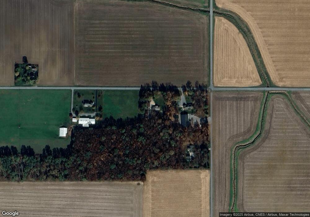
Map
Nearby Homes
- 21302 Masters Rd
- 14101 Allentown Rd
- 440 W 4th St
- 714 Briggs Ave Unit 1
- 408 N Mulberry St
- 425 N Main St
- 336 W 4th St
- 409 W 4th St
- 213 N Pearl St
- 19059 Wittington St
- 406 S Mulberry St
- 19083 Venedocia Eastern Rd
- 316 E 4th St
- 15044 Main St
- 18906 Bebb St
- 521 S Broadway St
- 123 Oakland Ave
- 00 Kleinoeder Rd
- 21183 Ohio 116
- 21197 Ohio 116