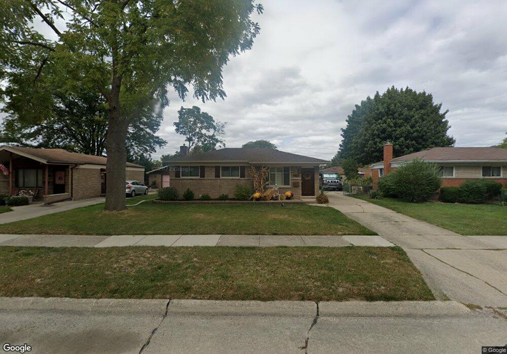
14929 Colpaert Dr Warren, MI 48088
Northeast Warren NeighborhoodEstimated Value: $229,000 - $260,000
3
Beds
2
Baths
1,131
Sq Ft
$218/Sq Ft
Est. Value
About This Home
This home is located at 14929 Colpaert Dr, Warren, MI 48088 and is currently estimated at $246,596, approximately $218 per square foot. 14929 Colpaert Dr is a home located in Macomb County with nearby schools including Wilde Elementary School, Carter Middle School, and Paul K. Cousino High School.
Ownership History
Date
Name
Owned For
Owner Type
Purchase Details
Closed on
Jul 30, 2003
Sold by
Glaser James M and Dewitt Coleen C
Bought by
Smith Shannon L
Current Estimated Value
Home Financials for this Owner
Home Financials are based on the most recent Mortgage that was taken out on this home.
Original Mortgage
$109,000
Outstanding Balance
$49,220
Interest Rate
5.97%
Mortgage Type
Purchase Money Mortgage
Estimated Equity
$197,376
Purchase Details
Closed on
Sep 1, 1998
Sold by
Hart Kevin A
Bought by
Dewitt Coleen C
Create a Home Valuation Report for This Property
The Home Valuation Report is an in-depth analysis detailing your home's value as well as a comparison with similar homes in the area
Home Values in the Area
Average Home Value in this Area
Purchase History
| Date | Buyer | Sale Price | Title Company |
|---|---|---|---|
| Smith Shannon L | $149,500 | Trans | |
| Dewitt Coleen C | $125,500 | -- |
Source: Public Records
Mortgage History
| Date | Status | Borrower | Loan Amount |
|---|---|---|---|
| Open | Smith Shannon L | $109,000 |
Source: Public Records
Tax History Compared to Growth
Tax History
| Year | Tax Paid | Tax Assessment Tax Assessment Total Assessment is a certain percentage of the fair market value that is determined by local assessors to be the total taxable value of land and additions on the property. | Land | Improvement |
|---|---|---|---|---|
| 2025 | $2,885 | $111,650 | $0 | $0 |
| 2024 | $2,803 | $104,190 | $0 | $0 |
| 2023 | $2,657 | $94,980 | $0 | $0 |
| 2022 | $2,567 | $80,320 | $0 | $0 |
| 2021 | $2,612 | $77,690 | $0 | $0 |
| 2020 | $2,519 | $75,260 | $0 | $0 |
| 2019 | $2,429 | $72,330 | $0 | $0 |
| 2018 | $69 | $65,260 | $0 | $0 |
| 2017 | $2,436 | $59,830 | $9,920 | $49,910 |
| 2016 | $2,433 | $59,830 | $0 | $0 |
| 2015 | -- | $52,670 | $0 | $0 |
| 2012 | -- | $42,290 | $0 | $0 |
Source: Public Records
Map
Nearby Homes
- 14717 Colpaert Dr
- 32334 Gloede Dr
- 14646 Murthum Ave
- 31707 Gloede Dr
- 32717 Beechwood Dr
- 31341 Hayes Rd
- 31263 Hayes Rd
- 15621 Lauren
- 14514 Peck Dr
- 15668 Masonic
- 31070 Hayes Rd
- 15801 Toulouse Unit 6
- 13842 Jenny Dr
- 33333 Groth Dr
- 15958 Kingston Dr
- 13863 Colpaert Dr
- 33125 Mazara
- 13738 Jenny Dr
- 30644 Hayes Rd
- 33042 Mccoy Dr
- 14917 Colpaert Dr
- 14941 Colpaert Dr
- 14950 Murthum Ave
- 14905 Colpaert Dr
- 15006 Murthum Ave
- 14938 Murthum Ave
- 15018 Murthum Ave
- 14926 Murthum Ave
- 14930 Colpaert Dr
- 14863 Colpaert Dr
- 14965 Colpaert Dr
- 14918 Colpaert Dr
- 14942 Colpaert Dr
- 14906 Colpaert Dr
- 14914 Murthum Ave
- 15030 Murthum Ave
- 14954 Colpaert Dr
- 14851 Colpaert Dr
- 14864 Colpaert Dr
- 14966 Colpaert Dr