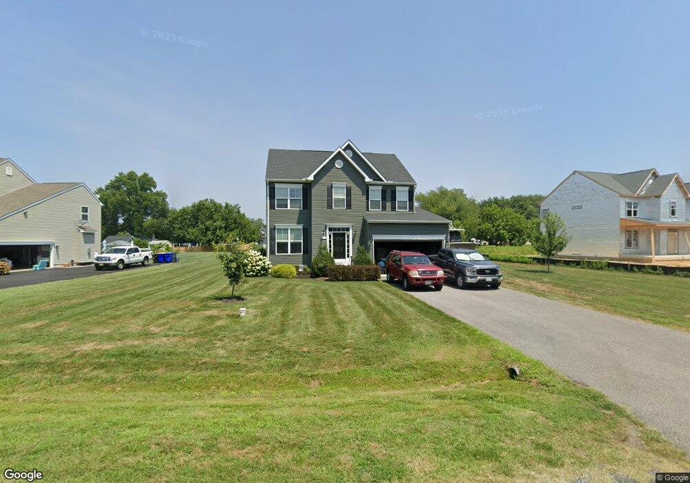
1493 Norman Rd Chester, MD 21619
Estimated Value: $568,848 - $773,000
--
Bed
--
Bath
2,132
Sq Ft
$311/Sq Ft
Est. Value
About This Home
This home is located at 1493 Norman Rd, Chester, MD 21619 and is currently estimated at $662,712, approximately $310 per square foot. 1493 Norman Rd is a home located in Queen Anne's County with nearby schools including Kent Island Elementary School, Bayside Elementary School, and Stevensville Middle School.
Ownership History
Date
Name
Owned For
Owner Type
Purchase Details
Closed on
May 30, 2018
Sold by
Ewing Land Company Llc
Bought by
Md Residential By Lacrosse Llc
Current Estimated Value
Purchase Details
Closed on
Jan 28, 2018
Sold by
Md Residential By Lacrosse Llc
Bought by
Talley Douglas Charles and Talley Danielle Nicole
Home Financials for this Owner
Home Financials are based on the most recent Mortgage that was taken out on this home.
Original Mortgage
$413,526
Interest Rate
4.6%
Mortgage Type
New Conventional
Create a Home Valuation Report for This Property
The Home Valuation Report is an in-depth analysis detailing your home's value as well as a comparison with similar homes in the area
Home Values in the Area
Average Home Value in this Area
Purchase History
| Date | Buyer | Sale Price | Title Company |
|---|---|---|---|
| Md Residential By Lacrosse Llc | $150,000 | None Available | |
| Talley Douglas Charles | $459,474 | None Available |
Source: Public Records
Mortgage History
| Date | Status | Borrower | Loan Amount |
|---|---|---|---|
| Previous Owner | Talley Douglas Charles | $413,526 |
Source: Public Records
Tax History Compared to Growth
Tax History
| Year | Tax Paid | Tax Assessment Tax Assessment Total Assessment is a certain percentage of the fair market value that is determined by local assessors to be the total taxable value of land and additions on the property. | Land | Improvement |
|---|---|---|---|---|
| 2025 | $4,251 | $469,433 | $0 | $0 |
| 2024 | $4,039 | $438,267 | $0 | $0 |
| 2023 | $3,835 | $407,100 | $152,000 | $255,100 |
| 2022 | $3,835 | $407,100 | $152,000 | $255,100 |
| 2021 | $3,905 | $407,100 | $152,000 | $255,100 |
| 2020 | $3,918 | $408,500 | $148,000 | $260,500 |
| 2019 | $3,832 | $399,500 | $0 | $0 |
| 2018 | $1,138 | $118,667 | $0 | $0 |
| 2017 | $1,093 | $114,000 | $0 | $0 |
| 2016 | -- | $114,000 | $0 | $0 |
| 2015 | $1,613 | $114,000 | $0 | $0 |
| 2014 | $1,613 | $123,100 | $0 | $0 |
Source: Public Records
Map
Nearby Homes
- 1501 Norman Rd
- Lot 6 Norman Ct
- 1401 Calvert Rd
- 1340 Queen Anne Dr
- 1405 Little Creek Rd
- 162 Kirwans Landing Ln
- 129 Kirwans Landing Ln
- 2817 Cox Neck Rd
- 0 Newtown Rd
- 635 Dominion Rd
- 1221 Cox Neck Rd
- 104 Woods Rd
- 2865 Cox Neck Rd
- Lot 53 Woods Rd
- 600 Old Point Rd
- 318 Old Point Rd
- 1204 Oyster Cove Dr
- 123 Bentons Pleasure Rd
- 721 Oyster Cove Dr
- 0 Parks Rd
- 1487 Norman Rd
- 1487 Norman Ct Unit LOT 22
- 1494 Norman Rd
- 1483 Norman Rd
- 1505 Norman Rd
- 1506 Calvert Rd
- 1504 Calvert Rd
- 1486 Norman Rd
- 1502 Norman Rd
- 1508 Calvert Rd
- 1502 Calvert Rd
- 1508 Norman Rd
- 1482 Norman Rd
- 1510 Calvert Rd
- 1500 Calvert Rd
- 1509 Norman Rd
- 1501 Queen Anne Dr
- 1419 Queen Anne Dr
- 1505 Queen Anne Dr
- 1417 Queen Anne Dr