Estimated Value: $479,000 - $743,000
2
Beds
1
Bath
1,216
Sq Ft
$515/Sq Ft
Est. Value
About This Home
This home is located at 14933 Rhoads Rd, Logan, OH 43138 and is currently estimated at $626,000, approximately $514 per square foot. 14933 Rhoads Rd is a home located in Hocking County with nearby schools including Hocking Hills Elementary School.
Ownership History
Date
Name
Owned For
Owner Type
Purchase Details
Closed on
Apr 21, 2014
Sold by
Davies Deanna Lynn
Bought by
Davies Kenneth R and Davies Kenneth Raymond
Current Estimated Value
Home Financials for this Owner
Home Financials are based on the most recent Mortgage that was taken out on this home.
Original Mortgage
$28,500
Interest Rate
4.41%
Mortgage Type
Future Advance Clause Open End Mortgage
Purchase Details
Closed on
Apr 7, 2014
Sold by
Davies Jason U
Bought by
Davies Kenneth R and Davies Kenneth Raymond
Home Financials for this Owner
Home Financials are based on the most recent Mortgage that was taken out on this home.
Original Mortgage
$28,500
Interest Rate
4.41%
Mortgage Type
Future Advance Clause Open End Mortgage
Create a Home Valuation Report for This Property
The Home Valuation Report is an in-depth analysis detailing your home's value as well as a comparison with similar homes in the area
Purchase History
| Date | Buyer | Sale Price | Title Company |
|---|---|---|---|
| Davies Kenneth R | -- | None Available | |
| Davies Kenneth R | $6,775 | None Available |
Source: Public Records
Mortgage History
| Date | Status | Borrower | Loan Amount |
|---|---|---|---|
| Closed | Davies Kenneth R | $28,500 |
Source: Public Records
Tax History
| Year | Tax Paid | Tax Assessment Tax Assessment Total Assessment is a certain percentage of the fair market value that is determined by local assessors to be the total taxable value of land and additions on the property. | Land | Improvement |
|---|---|---|---|---|
| 2024 | $3,348 | $0 | $0 | $0 |
| 2023 | $3,348 | $88,020 | $33,300 | $54,720 |
| 2022 | $3,353 | $88,020 | $33,300 | $54,720 |
| 2021 | $3,284 | $80,980 | $23,770 | $57,210 |
| 2020 | $3,269 | $80,980 | $23,770 | $57,210 |
| 2019 | $3,271 | $80,980 | $23,770 | $57,210 |
| 2018 | $3,012 | $76,290 | $19,080 | $57,210 |
| 2017 | $2,956 | $76,290 | $19,080 | $57,210 |
| 2016 | $2,935 | $76,290 | $19,080 | $57,210 |
| 2015 | $2,149 | $53,910 | $15,310 | $38,600 |
| 2014 | $2,149 | $53,910 | $15,310 | $38,600 |
| 2013 | $2,158 | $53,910 | $15,310 | $38,600 |
Source: Public Records
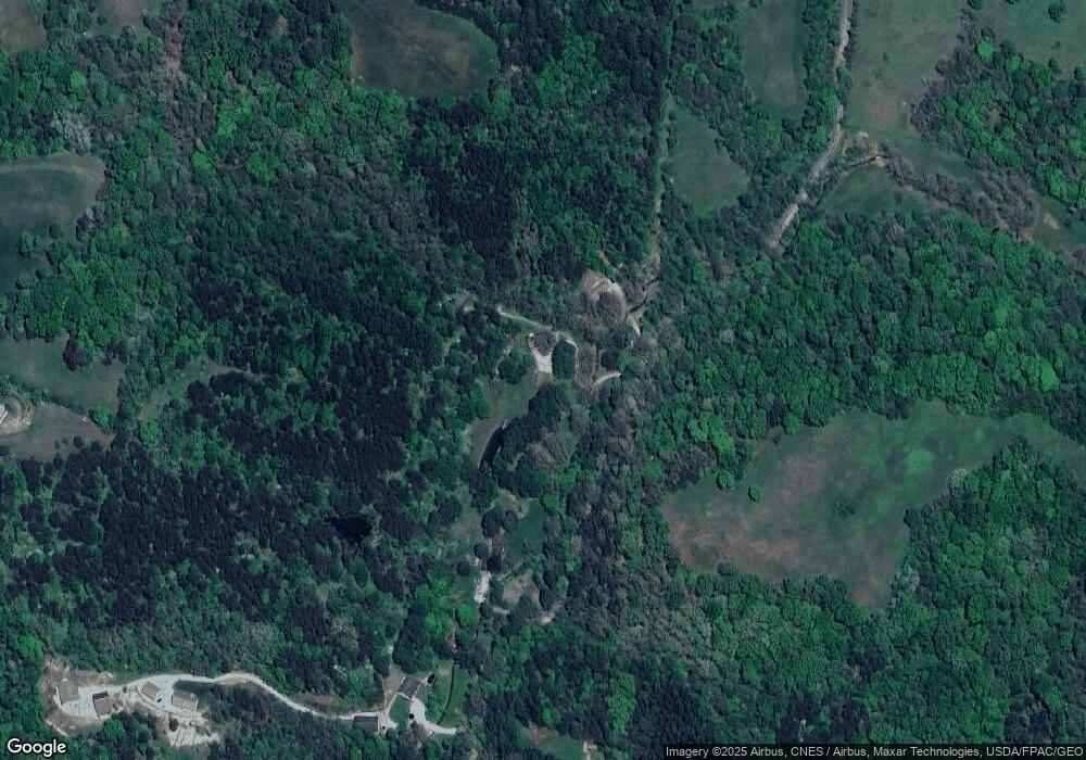
Map
Nearby Homes
- 14560 Pleasant Valley Rd
- 29593 Big Pine Rd
- 0 Pleasant Valley Rd Unit 225037822
- 29941 Blosser Rd
- 28930 Big Pine Rd
- 14509 State Route 664 S
- 28845 Big Pine Rd
- 14462 Ohio 664
- 28843 Big Pine Rd
- 28745 Big Pine Rd
- 14121 State Route 664 S
- 16236 Collison Rd
- 0 Hawthorne Way Unit 225040022
- 0 Hawthorne Way Unit Lot 8
- 13500 Pleasant Valley Rd
- 13534 Hildebrandt Rd
- 14180 Ohio 664
- 13493 Hildebrandt Rd
- 15050 Old McArthur Rd
- 15155 Sauerkraut Rd
- 14983 Rhoads Rd
- 15017 Rhoads Rd
- 15055 Rhoads Rd
- 15100 Rhoads Rd
- 15063 Rhoads Rd
- 28491 Starr Route Rd
- 28999 Starr Route Rd
- 28859 Starr Route Rd
- 28825 Starr Route Rd
- 15179 Rhoads Rd
- 28745 Starr Route Rd
- 28467 Starr Route Rd
- 28689 Starr Route Rd
- 28641 Starr Route Rd
- 28615 Starr Route Rd
- 15108 Rhoads Rd
- 15365 Rhoads Rd
- 15439 Rhoads Rd
- 28580 Starr Route Rd
- 28433 Starr Route Rd
Your Personal Tour Guide
Ask me questions while you tour the home.