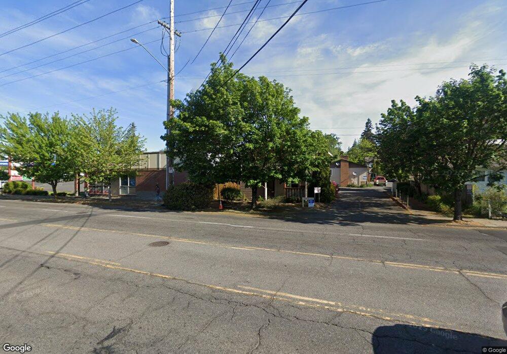
14937 SE Stark St Portland, OR 97233
Glenfair NeighborhoodEstimated Value: $1,222,000
15
Beds
13
Baths
14,080
Sq Ft
$87/Sq Ft
Est. Value
About This Home
This home is located at 14937 SE Stark St, Portland, OR 97233 and is currently estimated at $1,222,000, approximately $86 per square foot. 14937 SE Stark St is a home located in Multnomah County with nearby schools including Glenfair Elementary School, Hauton B Lee Middle School, and Reynolds High School.
Ownership History
Date
Name
Owned For
Owner Type
Purchase Details
Closed on
Sep 28, 1999
Sold by
Hardwick Christopher Charles and Hardwick Janice Doran
Bought by
Marsh Larry L and Marsh Leslie
Current Estimated Value
Home Financials for this Owner
Home Financials are based on the most recent Mortgage that was taken out on this home.
Original Mortgage
$228,000
Outstanding Balance
$66,595
Interest Rate
7.86%
Estimated Equity
$1,155,405
Create a Home Valuation Report for This Property
The Home Valuation Report is an in-depth analysis detailing your home's value as well as a comparison with similar homes in the area
Home Values in the Area
Average Home Value in this Area
Purchase History
| Date | Buyer | Sale Price | Title Company |
|---|---|---|---|
| Marsh Larry L | $285,000 | Fidelity National Title Co |
Source: Public Records
Mortgage History
| Date | Status | Borrower | Loan Amount |
|---|---|---|---|
| Open | Marsh Larry L | $228,000 |
Source: Public Records
Tax History Compared to Growth
Tax History
| Year | Tax Paid | Tax Assessment Tax Assessment Total Assessment is a certain percentage of the fair market value that is determined by local assessors to be the total taxable value of land and additions on the property. | Land | Improvement |
|---|---|---|---|---|
| 2025 | $32,543 | $1,391,380 | -- | -- |
| 2024 | $30,891 | $1,350,860 | -- | -- |
| 2023 | $29,686 | $1,311,520 | $0 | $0 |
| 2022 | $29,239 | $1,273,330 | $0 | $0 |
| 2021 | $28,857 | $1,236,250 | $0 | $0 |
| 2020 | $26,047 | $1,200,250 | $0 | $0 |
| 2019 | $24,721 | $1,165,300 | $0 | $0 |
| 2018 | $24,492 | $1,131,360 | $0 | $0 |
| 2017 | $23,620 | $1,098,410 | $0 | $0 |
| 2016 | $22,514 | $1,066,420 | $0 | $0 |
| 2015 | $21,909 | $1,035,360 | $0 | $0 |
| 2014 | $20,199 | $1,005,210 | $0 | $0 |
Source: Public Records
Map
Nearby Homes
- 600 SE 151st Ave
- 341 SE 153rd Ave
- 15310 SE Stark St Unit C
- 116 SE 153rd Ave
- 15131 E Burnside St
- 15133 E Burnside St
- 15135 E Burnside St
- 15139 E Burnside St
- 326 SE 154th Ave
- 15153 E Burnside St
- 15155 E Burnside St
- 15157 E Burnside St
- 14894 NE Couch St Unit 16
- 14888 NE Couch St Unit 15
- 14876 NE Couch St Unit 13
- 14870 NE Couch St Unit 12
- 15159 E Burnside St
- 14864 NE Couch St Unit 11
- 14858 NE Couch St Unit 10
- 14852 NE Couch St Unit 9
- 14937 SE Stark St Unit 14949
- 14955 SE Stark St
- 323 SE 151st Ave
- 15005 SE Stark St
- 15075 SE Stark St
- 15023 SE Stark St
- 327 SE 151st Ave
- 319 SE 151st Ave
- 329 SE 151st Ave
- 315 SE 151st Ave
- 227 SE 151st Ave
- 332 SE 148th Ave
- 15012 SE Stark St
- 322 SE 151st Ave
- 414 SE 151st Ave Unit 424
- 300 SE 148th Ave
- 307 SE 151st Ave
- 15024 SE Stark St
- 14948 SE Stark St
- 15105 SE Pine Ct