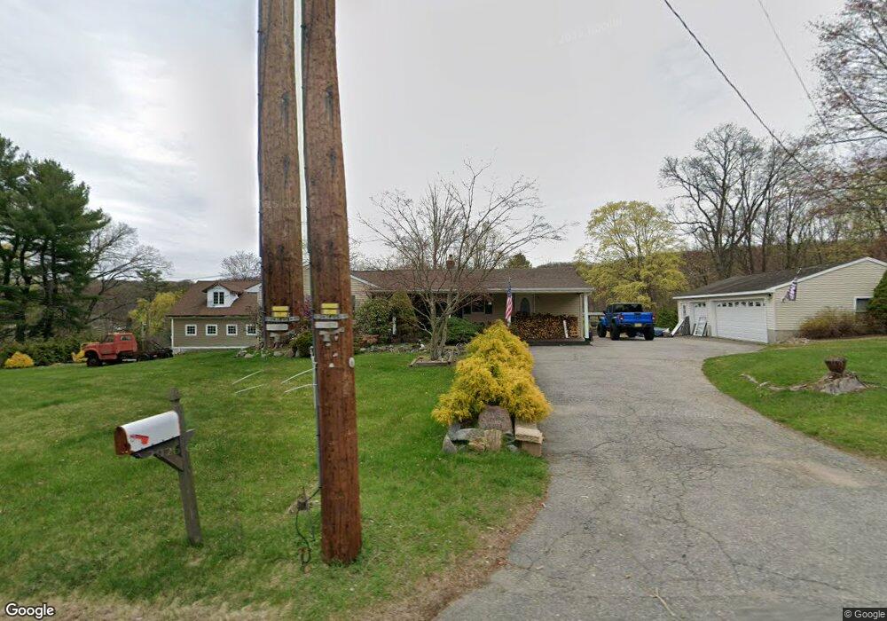
1494 MacOpin Rd West Milford, NJ 07480
Estimated Value: $473,159 - $601,000
--
Bed
--
Bath
1,476
Sq Ft
$365/Sq Ft
Est. Value
About This Home
This home is located at 1494 MacOpin Rd, West Milford, NJ 07480 and is currently estimated at $538,290, approximately $364 per square foot. 1494 MacOpin Rd is a home located in Passaic County with nearby schools including Macopin Middle School and West Milford High School.
Ownership History
Date
Name
Owned For
Owner Type
Purchase Details
Closed on
Aug 23, 2002
Sold by
Dejong Raymond
Bought by
Curving Russell and Curving Christina
Current Estimated Value
Home Financials for this Owner
Home Financials are based on the most recent Mortgage that was taken out on this home.
Original Mortgage
$287,100
Outstanding Balance
$119,834
Interest Rate
6.36%
Estimated Equity
$418,456
Create a Home Valuation Report for This Property
The Home Valuation Report is an in-depth analysis detailing your home's value as well as a comparison with similar homes in the area
Home Values in the Area
Average Home Value in this Area
Purchase History
| Date | Buyer | Sale Price | Title Company |
|---|---|---|---|
| Curving Russell | $319,000 | -- |
Source: Public Records
Mortgage History
| Date | Status | Borrower | Loan Amount |
|---|---|---|---|
| Open | Curving Russell | $287,100 |
Source: Public Records
Tax History Compared to Growth
Tax History
| Year | Tax Paid | Tax Assessment Tax Assessment Total Assessment is a certain percentage of the fair market value that is determined by local assessors to be the total taxable value of land and additions on the property. | Land | Improvement |
|---|---|---|---|---|
| 2025 | $11,967 | $295,200 | $94,000 | $201,200 |
| 2024 | $12,029 | $295,200 | $94,000 | $201,200 |
| 2022 | $11,418 | $295,200 | $94,000 | $201,200 |
| 2021 | $11,173 | $295,200 | $94,000 | $201,200 |
| 2020 | $11,055 | $295,200 | $94,000 | $201,200 |
| 2019 | $10,908 | $295,200 | $94,000 | $201,200 |
| 2018 | $10,881 | $295,200 | $94,000 | $201,200 |
| 2017 | $10,931 | $295,200 | $94,000 | $201,200 |
| 2016 | $10,092 | $272,100 | $94,000 | $178,100 |
| 2015 | $9,609 | $262,100 | $94,000 | $168,100 |
| 2014 | $9,375 | $262,100 | $94,000 | $168,100 |
Source: Public Records
Map
Nearby Homes
- 43 Bisset Dr
- 54 Nosenzo Pond Rd
- 24 Alpine Ln
- 0 Rock Ledge Rd Unit 25030488
- 0 Rock Ledge Rd Unit 3983243
- 11 Eagles Nest Terrace
- 24 Eagles Nest Terrace
- 33 Eagles Nest Terrace
- 2 Iron Hill
- 45 Heritage Dr
- 60 Eagles Nest Terrace
- 95 Morris Ave
- 82 Heritage Dr
- 91 Heritage Dr
- 16 Pond View Dr
- 9 Somerset Place
- 0 Laurel Hollow
- 1731 MacOpin Rd
- 1772 MacOpin Rd
- 66 Lindys Dr
- 1502 MacOpin Rd
- 1488 MacOpin Rd
- 1497 MacOpin Rd
- 1493 MacOpin Rd
- 1501 MacOpin Rd
- 0 Vreeland Rd
- 1487 MacOpin Rd
- 16 Vreeland Rd
- 1484 MacOpin Rd
- 1483 MacOpin Rd
- 22 Vreeland Rd
- 1480 MacOpin Rd
- 1509 MacOpin Rd
- 1477 MacOpin Rd
- 28 Vreeland Rd
- 1469 MacOpin Rd
- 29 Vreeland Rd
- 11 Virginia Ln
- 1471 MacOpin Rd
- 1463 MacOpin Rd