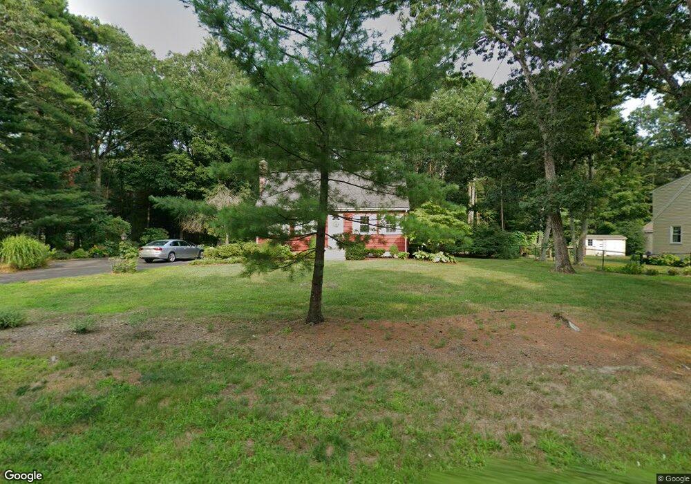
1494 West St Mansfield, MA 02048
Estimated Value: $612,000 - $717,000
5
Beds
2
Baths
1,510
Sq Ft
$441/Sq Ft
Est. Value
About This Home
This home is located at 1494 West St, Mansfield, MA 02048 and is currently estimated at $665,534, approximately $440 per square foot. 1494 West St is a home located in Bristol County with nearby schools including Everett W. Robinson Elementary School, Jordan/Jackson Elementary School, and Harold L. Qualters Middle School.
Ownership History
Date
Name
Owned For
Owner Type
Purchase Details
Closed on
May 3, 2016
Sold by
Redfearn Alec W and Redfearn Suzanne
Bought by
Redfearn Ft
Current Estimated Value
Purchase Details
Closed on
Apr 1, 1969
Bought by
Redfearn Alec and Redfearn Suzanne
Create a Home Valuation Report for This Property
The Home Valuation Report is an in-depth analysis detailing your home's value as well as a comparison with similar homes in the area
Home Values in the Area
Average Home Value in this Area
Purchase History
| Date | Buyer | Sale Price | Title Company |
|---|---|---|---|
| Redfearn Ft | -- | -- | |
| Redfearn Alec | -- | -- |
Source: Public Records
Mortgage History
| Date | Status | Borrower | Loan Amount |
|---|---|---|---|
| Previous Owner | Redfearn Alec | $70,000 |
Source: Public Records
Tax History Compared to Growth
Tax History
| Year | Tax Paid | Tax Assessment Tax Assessment Total Assessment is a certain percentage of the fair market value that is determined by local assessors to be the total taxable value of land and additions on the property. | Land | Improvement |
|---|---|---|---|---|
| 2025 | $6,524 | $495,400 | $245,800 | $249,600 |
| 2024 | $6,611 | $489,700 | $245,800 | $243,900 |
| 2023 | $6,577 | $466,800 | $245,800 | $221,000 |
| 2022 | $6,361 | $419,300 | $227,500 | $191,800 |
| 2021 | $5,892 | $383,600 | $199,100 | $184,500 |
| 2020 | $5,534 | $360,300 | $189,600 | $170,700 |
| 2019 | $5,091 | $334,500 | $157,900 | $176,600 |
| 2018 | $0 | $322,600 | $150,700 | $171,900 |
| 2017 | $4,545 | $302,600 | $146,400 | $156,200 |
| 2016 | $4,363 | $283,100 | $139,400 | $143,700 |
| 2015 | $4,340 | $280,000 | $139,400 | $140,600 |
Source: Public Records
Map
Nearby Homes