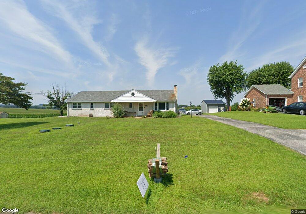
14946 Winterstown Rd Stewartstown, PA 17363
Estimated Value: $326,000 - $359,000
3
Beds
2
Baths
1,696
Sq Ft
$203/Sq Ft
Est. Value
About This Home
This home is located at 14946 Winterstown Rd, Stewartstown, PA 17363 and is currently estimated at $343,991, approximately $202 per square foot. 14946 Winterstown Rd is a home located in York County with nearby schools including North Hopewell-Winterstown Elementary School, Red Lion Area Junior High School, and Red Lion Area Senior High School.
Ownership History
Date
Name
Owned For
Owner Type
Purchase Details
Closed on
Aug 31, 2007
Sold by
Margaret Ralph A and Margaret Anne
Bought by
Youndt Andrew and Youndt Brittney
Current Estimated Value
Home Financials for this Owner
Home Financials are based on the most recent Mortgage that was taken out on this home.
Original Mortgage
$141,385
Interest Rate
6.61%
Mortgage Type
New Conventional
Purchase Details
Closed on
Jun 22, 1965
Bought by
Boyd Ralph A and Margaret Anne
Create a Home Valuation Report for This Property
The Home Valuation Report is an in-depth analysis detailing your home's value as well as a comparison with similar homes in the area
Home Values in the Area
Average Home Value in this Area
Purchase History
| Date | Buyer | Sale Price | Title Company |
|---|---|---|---|
| Youndt Andrew | $260,000 | -- | |
| Boyd Ralph A | $100 | -- |
Source: Public Records
Mortgage History
| Date | Status | Borrower | Loan Amount |
|---|---|---|---|
| Previous Owner | Youndt Andrew | $141,385 |
Source: Public Records
Tax History Compared to Growth
Tax History
| Year | Tax Paid | Tax Assessment Tax Assessment Total Assessment is a certain percentage of the fair market value that is determined by local assessors to be the total taxable value of land and additions on the property. | Land | Improvement |
|---|---|---|---|---|
| 2025 | $5,524 | $175,330 | $44,770 | $130,560 |
| 2024 | $5,352 | $175,330 | $44,770 | $130,560 |
| 2023 | $5,352 | $175,330 | $44,770 | $130,560 |
| 2022 | $5,352 | $175,330 | $44,770 | $130,560 |
| 2021 | $5,177 | $175,330 | $44,770 | $130,560 |
| 2020 | $5,177 | $175,330 | $44,770 | $130,560 |
| 2019 | $5,160 | $175,330 | $44,770 | $130,560 |
| 2018 | $5,160 | $175,330 | $44,770 | $130,560 |
| 2017 | $5,160 | $175,330 | $44,770 | $130,560 |
| 2016 | $0 | $175,330 | $44,770 | $130,560 |
| 2015 | -- | $175,330 | $44,770 | $130,560 |
| 2014 | -- | $175,330 | $44,770 | $130,560 |
Source: Public Records
Map
Nearby Homes
- 4389 Hess Rd
- 14639 Hyson School Rd
- 14754 Lowe Rd
- 4162 Rinely Rd
- 12706 High Point Rd
- 12109 Woodland Dr
- 13503 Fishel Rd
- 12568 Mount Olivet Rd
- 13859 Ebaugh Rd
- 13846 Ridge Rd
- 116 Carbridge Rd W
- 545 Log House Rd Unit 116
- 525 Log House Rd Unit 118
- 515 Log House Rd Unit 119
- 119 Edie Cir
- 16292 Maddox Rd
- 200 Patterson Dr Unit 52
- 180 Patterson Dr Unit 50
- 170 Patterson Dr Unit 49
- 160 Patterson Dr Unit 48
- 14928 Winterstown Rd
- 14902 Winterstown Rd
- 14955 Winterstown Rd
- 14996 Winterstown Rd
- 14987 Winterstown Rd
- 14092 Hyson School Rd
- 15032 Winterstown Rd
- 15025 Winterstown Rd
- 15047 Winterstown Rd
- 14816 Winterstown Rd
- 15063 Winterstown Rd
- 16434 Cross Roads Ave
- 15074 Winterstown Rd
- 16468 Cross Roads Ave
- 14180 Hyson School Rd
- 15101 Winterstown Rd
- 14767 Winterstown Rd
- 16423 Cross Roads Ave
- 14208 Hyson School Rd
- 15145 Winterstown Rd