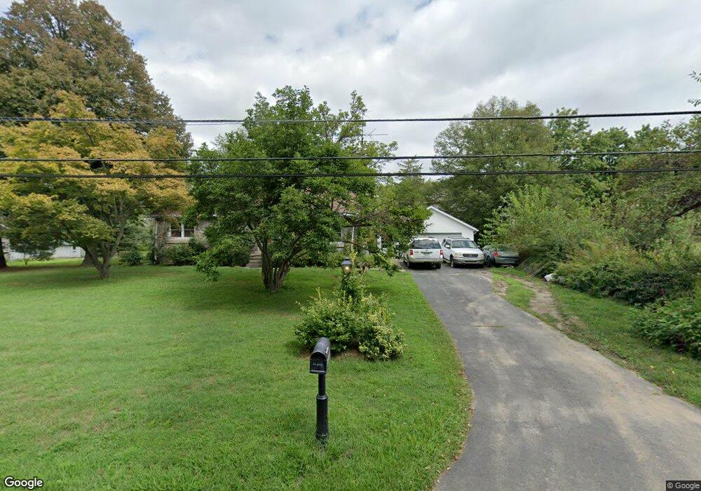
1495 Brooke Rd Pottstown, PA 19464
Estimated Value: $290,000 - $384,000
3
Beds
1
Bath
1,215
Sq Ft
$283/Sq Ft
Est. Value
About This Home
This home is located at 1495 Brooke Rd, Pottstown, PA 19464 and is currently estimated at $343,411, approximately $282 per square foot. 1495 Brooke Rd is a home located in Montgomery County with nearby schools including Lower Pottsgrove Elementary School, Pottsgrove Middle School, and Pottsgrove Senior High School.
Ownership History
Date
Name
Owned For
Owner Type
Purchase Details
Closed on
Apr 17, 2015
Sold by
Estate Of Julia S Bartman and Bartman R David
Bought by
Beasley Bruce
Current Estimated Value
Home Financials for this Owner
Home Financials are based on the most recent Mortgage that was taken out on this home.
Original Mortgage
$139,918
Outstanding Balance
$107,633
Interest Rate
3.72%
Mortgage Type
FHA
Estimated Equity
$235,778
Create a Home Valuation Report for This Property
The Home Valuation Report is an in-depth analysis detailing your home's value as well as a comparison with similar homes in the area
Home Values in the Area
Average Home Value in this Area
Purchase History
| Date | Buyer | Sale Price | Title Company |
|---|---|---|---|
| Beasley Bruce | $142,500 | None Available |
Source: Public Records
Mortgage History
| Date | Status | Borrower | Loan Amount |
|---|---|---|---|
| Open | Beasley Bruce | $139,918 |
Source: Public Records
Tax History Compared to Growth
Tax History
| Year | Tax Paid | Tax Assessment Tax Assessment Total Assessment is a certain percentage of the fair market value that is determined by local assessors to be the total taxable value of land and additions on the property. | Land | Improvement |
|---|---|---|---|---|
| 2025 | $5,370 | $109,240 | $45,200 | $64,040 |
| 2024 | $5,370 | $109,240 | $45,200 | $64,040 |
| 2023 | $5,204 | $109,240 | $45,200 | $64,040 |
| 2022 | $5,125 | $109,240 | $45,200 | $64,040 |
| 2021 | $5,024 | $109,240 | $45,200 | $64,040 |
| 2020 | $4,978 | $109,240 | $45,200 | $64,040 |
| 2019 | $4,952 | $109,240 | $45,200 | $64,040 |
| 2018 | $4,952 | $109,240 | $45,200 | $64,040 |
| 2017 | $4,908 | $109,240 | $45,200 | $64,040 |
| 2016 | $4,866 | $109,240 | $45,200 | $64,040 |
| 2015 | $4,755 | $109,240 | $45,200 | $64,040 |
| 2014 | $4,755 | $109,240 | $45,200 | $64,040 |
Source: Public Records
Map
Nearby Homes
- 1876 Glen Eagles Dr
- 1527 Cedar Hill Rd
- 1532 Briarwood Ln
- 3605 Walnut Ridge Dr
- 1240 Wooded Way
- 1814 N Keim St
- 1103 Walnut Ridge Dr
- 1871 Linda Ln
- 3204 Walnut Ridge Estate
- 3603 Walnut Ridge Estate
- 1267 Ringing Rocks Park
- 2126 Deer Ridge Dr
- 17 Doe Run Ln
- 1131 Crestwood Dr
- 1108 Bleim Rd
- 1411 N Adams St
- 1094 Mitch Rd
- 1338 Lynn Dr
- 957 Ivy Ln
- 1769 Clearview Rd
- 1471 Brooke Rd
- 1805 Glen Eagles Dr
- 1809 Glen Eagles Dr
- 1536 Brooke Rd
- 1445 Brooke Rd
- 1521 Cedar Hill Rd
- 1813 Glen Eagles Dr
- 1495 Cedar Hill Rd
- 1868 Glen Eagles Dr
- 1872 Glen Eagles Dr
- 1798 Saint Andrews Dr
- 1475 Cedar Hill Rd
- 1427 Brooke Rd
- 1817 Glen Eagles Dr
- 1797 Saint Andrews Dr
- 1880 Glen Eagles Dr
- 1453 Cedar Hill Rd
- 1884 Glen Eagles Dr
- 1821 Glen Eagles Dr
- 1793 Saint Andrews Dr