1495 E Airport Rd NE McConnelsville, OH 43756
Estimated Value: $286,000 - $356,000
3
Beds
2
Baths
1,400
Sq Ft
$225/Sq Ft
Est. Value
About This Home
This home is located at 1495 E Airport Rd NE, McConnelsville, OH 43756 and is currently estimated at $315,435, approximately $225 per square foot. 1495 E Airport Rd NE is a home located in Morgan County with nearby schools including Morgan High School.
Ownership History
Date
Name
Owned For
Owner Type
Purchase Details
Closed on
May 14, 2019
Sold by
Adrean Evelyn Sue
Bought by
Kidd Travis and Kidd Kristina
Current Estimated Value
Home Financials for this Owner
Home Financials are based on the most recent Mortgage that was taken out on this home.
Original Mortgage
$181,115
Outstanding Balance
$159,779
Interest Rate
4.37%
Mortgage Type
FHA
Estimated Equity
$155,656
Purchase Details
Closed on
Apr 19, 2017
Sold by
Adrean Raymond L and Adrean Evelyn Sue
Bought by
Adrean Raymond L and Adrean Evelyn Sue
Purchase Details
Closed on
Feb 22, 2008
Sold by
Johnson James Alan and Johnson James A
Bought by
Hanson Clay W and Hanson Mary Pat
Create a Home Valuation Report for This Property
The Home Valuation Report is an in-depth analysis detailing your home's value as well as a comparison with similar homes in the area
Home Values in the Area
Average Home Value in this Area
Purchase History
| Date | Buyer | Sale Price | Title Company |
|---|---|---|---|
| Kidd Travis | $185,000 | None Available | |
| Adrean Raymond L | -- | None Available | |
| Hanson Clay W | -- | -- |
Source: Public Records
Mortgage History
| Date | Status | Borrower | Loan Amount |
|---|---|---|---|
| Open | Kidd Travis | $181,115 |
Source: Public Records
Tax History Compared to Growth
Tax History
| Year | Tax Paid | Tax Assessment Tax Assessment Total Assessment is a certain percentage of the fair market value that is determined by local assessors to be the total taxable value of land and additions on the property. | Land | Improvement |
|---|---|---|---|---|
| 2024 | $2,328 | $72,120 | $15,170 | $56,950 |
| 2023 | $2,328 | $52,530 | $12,920 | $39,610 |
| 2022 | $1,678 | $52,530 | $12,920 | $39,610 |
| 2021 | $1,695 | $52,530 | $12,920 | $39,610 |
| 2019 | $1,222 | $45,670 | $11,240 | $34,430 |
| 2018 | $1,174 | $45,670 | $11,240 | $34,430 |
| 2017 | $995 | $39,333 | $6,657 | $32,676 |
| 2016 | $999 | $39,333 | $6,657 | $32,676 |
| 2015 | $998 | $39,333 | $6,657 | $32,676 |
| 2014 | $1,029 | $39,333 | $6,657 | $32,676 |
| 2013 | $1,016 | $39,333 | $6,657 | $32,676 |
Source: Public Records
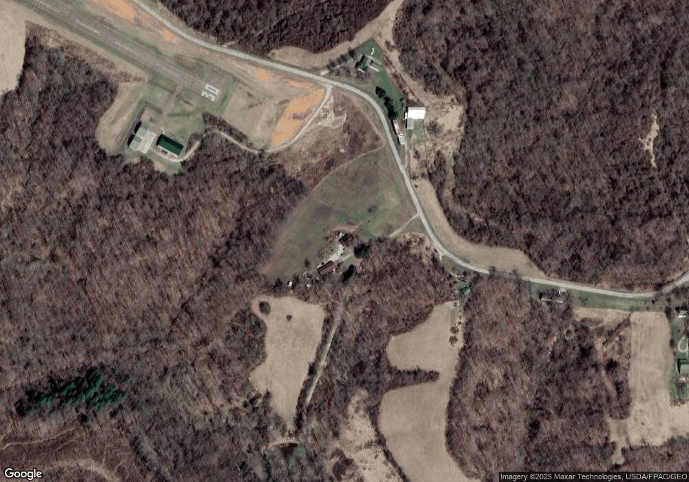
Map
Nearby Homes
- 112 S 16th St
- 3470 N Terrace Dr NW
- 2700 Fred Mummy Rd
- 545 E Mcconnel Ave
- 346 E Union Ave
- 274 N 8th St
- 2680 Mummey Rd
- 3810 N Dugan Rd NW
- 422 N Kennebec Ave
- 284 N Kennebec Ave
- 41 W Bell Ave
- 262 N 5th St
- 142 N 5th St
- 3955 Wedgewood Dr
- 774 N Kennebec Ave
- 361 W Jefferson Ave
- 1096 N Kennebec Ave
- 95 Sunset Dr
- 102 8th St
- 1515 E Airport Rd NE
- 1723 E Airport Rd NE
- 1212 E Airport Rd NE
- 1747 E Airport Rd NE
- 1755 E Airport Rd NE
- 1840 E Airport Rd NE
- 1856 E Airport Rd NE
- 1080 E Airport Rd NE
- 1875 E Airport Rd NE
- 802 E State Route 60 NE
- 952 E State Route 60 NE
- 935 E State Route 60 NE
- 939 E State Route 60 NE
- 4000 Henderson Ln
- 1843 E Airport Rd NE
- 776 E State Route 60 NE
- 910 E Airport Rd NE
- 949 E State Route 60 NE
- 941 E State Route 60 NE
- 905 E State Route 60 NE